
| Distance / Altitude | Location | Report Date / Time | Live Weather | Wind | Gusts | Temp. | Visibility | Cloud |
|---|---|---|---|---|---|---|---|---|
| 1 km ESE / 3 m | BUOY-PAUA2 (Marine) | 2024-07-26 17:05 local (2024/07/27 01:05 GMT) | light winds from the SW (17 km/h at 230) | 11°C | - | |||
| 1 km NW / 3 m | BUOY-VCVA2 (Marine) | 2024-07-26 16:48 local (2024/07/27 00:48 GMT) | - (- km/h at -) | — | - | |||
| 5 km NE / 205 m | Saint Paul Island Airport (Alaska) | 2024-07-26 15:53 local (2024/07/26 23:53 GMT) | Dry and cloudy | moderate winds from the SSW.(Wind varies from 004 to 008 degs) (20 km/h at 210) | 10°C | 13 | broken overcast | |
| 51 km N / 15 m | ASCATC190E58N (Marine) | 2024-07-26 14:25 local (2024/07/26 22:25 GMT) | light winds from the WSW (15 km/h at 243) | — | - km | |||
| 62 km S / 15 m | ASCATC190E57N (Marine) | 2024-07-26 14:25 local (2024/07/26 22:25 GMT) | light winds from the SSW (8 km/h at 214) | — | - km | |||
| 71 km NE / 15 m | ASCATC191E58N (Marine) | 2024-07-26 14:25 local (2024/07/26 22:25 GMT) | light winds from the WSW (17 km/h at 257) | — | - km | |||
| 74 km SE / 3 m | BUOY-SGXA2 (Marine) | 2024-07-26 17:05 local (2024/07/27 01:05 GMT) | light winds from the SSW (15 km/h at 200) | 11°C | - | |||
| 81 km WNW / 15 m | ASCATC189E58N (Marine) | 2024-07-26 14:25 local (2024/07/26 22:25 GMT) | light winds from the SW (14 km/h at 234) | — | - km | |||
| 89 km SSW / 15 m | ASCATC189E57N (Marine) | 2024-07-26 14:25 local (2024/07/26 22:25 GMT) | light winds from the SSW (6 km/h at 196) | — | - km | |||
| 110 km SE / 15 m | ASCATC191E57N (Marine) | 2024-07-26 14:25 local (2024/07/26 22:25 GMT) | light winds from the W (11 km/h at 260) | — | - km |
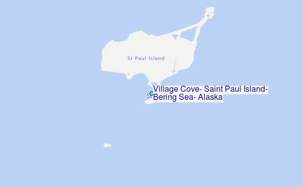
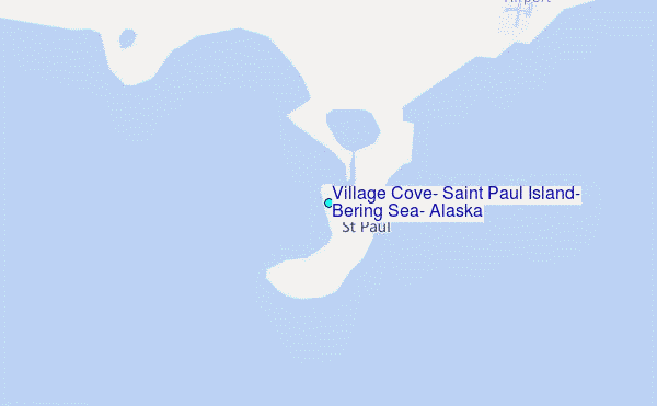
Choose Village Cove, Saint Paul Island, Bering Sea, Alaska Location Map Zoom:
| Contours: | Roads & Rivers: | Select a
tide station / surf break / city |
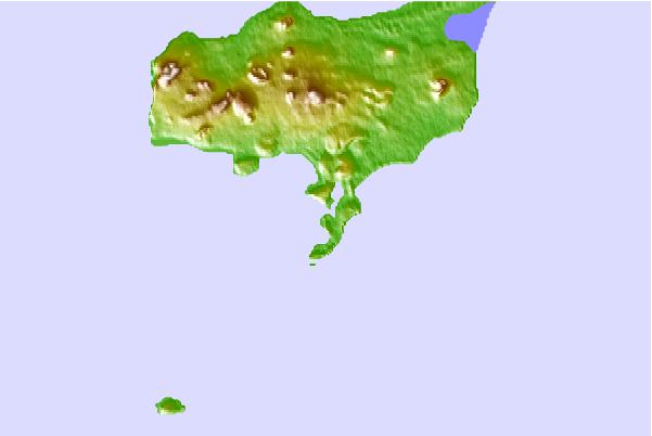
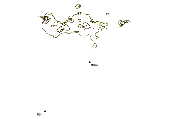
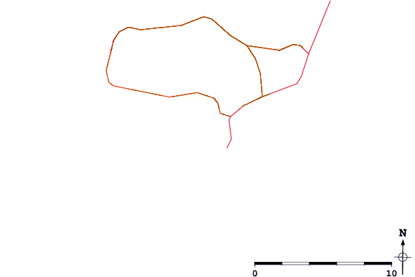
Use this relief map to navigate to tide stations, surf breaks and cities that are in the area of Village Cove, Saint Paul Island, Bering Sea, Alaska.
Other Nearby Locations' tide tables and tide charts to Village Cove, Saint Paul Island, Bering Sea, Alaska:
click location name for more details
 Surf breaks close to Village Cove, Saint Paul Island, Bering Sea, Alaska:
|
||
|---|---|---|
| Closest surf break | Monashka Bay | 663 mi |
| Second closest surf break | Termination Point | 664 mi |
| Third closest surf break | Mill Bay | 666 mi |
| Fourth closest surf break | Fossil Beach Kodiak | 669 mi |
| Fifth closest surf break | Bird Point (Tidal Bore) | 715 mi |

 Nearest
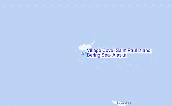