
| Distance / Altitude | Location | Report Date / Time | Live Weather | Wind | Gusts | Temp. | Visibility | Cloud |
|---|---|---|---|---|---|---|---|---|
| 8 km NE / 199 m | Vitoria/Goiabeir Airport (Brazil) | 2026-02-20 11:00 local (2026/02/20 14:00 GMT) | - | moderate winds from the NNE.(Wind varies from 340 to 070 degs) (20 km/h at 30) | 33°C | 10.0 | few | |
| 190 km S / 474 m | Campos-dos-Goitacazes/Bartolomeu Lisandro Airport (Brazil) | 2026-02-20 11:00 local (2026/02/20 14:00 GMT) | - | light winds from the WNW (7 km/h at 290) | 32°C | 10.0 | few | |
| 202 km SSE / 10 m | Albacora P25 Oil Platform Airport (Brazil) | 2026-02-20 11:00 local (2026/02/20 14:00 GMT) | Dry and partly cloudy | fresh winds from the N (35 km/h at 350) | 28°C | 10.0 | broken | |
| 204 km S / 3 m | Campos dos Goitacazes Airport (Brazil) | 2026-02-20 11:00 local (2026/02/20 14:00 GMT) | Dry and partly cloudy | light winds from the N (6 km/h at 1) | 32°C | 10.0 | scattered | |
| 246 km W / 239 m | Usiminas/Paraiso Airport (Brazil) | 2026-02-20 11:00 local (2026/02/20 14:00 GMT) | - | light winds from the ENE.(Wind varies from 010 to 110 degs) (9 km/h at 70) | — | 0.0 | ||
| 271 km S / 194 m | Macae Airport (Brazil) | 2026-02-20 11:00 local (2026/02/20 14:00 GMT) | Dry and partly cloudy | light winds from the S (11 km/h at 180) | 31°C | 10.0 | scattered | |
| 333 km S / 381 m | Aeroporto São Pedro da Aldeia Airport (Brazil) | 2026-02-20 11:00 local (2026/02/20 14:00 GMT) | Dry and partly cloudy | light winds from the SW.(Wind varies from 200 to 270 degs) (11 km/h at 220) | 29°C | 10.0 | scattered | |
| 341 km S / 4 m | Cabo Frio Cape Airport (Brazil) | 2026-02-20 11:00 local (2026/02/20 14:00 GMT) | - | light winds from the SSW (11 km/h at 200) | 30°C | 10.0 | few | |
| 374 km SW / 1132 m | Barbacena Airport (Brazil) | 2026-02-20 11:00 local (2026/02/20 14:00 GMT) | Dry and partly cloudy | light winds from the NW (13 km/h at 320) | 23°C | 10.0 | broken | |
| 380 km WSW / 460 m | Lagoa Santa Airport (Brazil) | 2026-02-20 11:00 local (2026/02/20 14:00 GMT) | Dry and partly cloudy | light winds from the N (7 km/h at 1) | 26°C | 10.0 | broken scattered broken |
| Contours: | Roads & Rivers: | Select a
tide station / surf break / city |
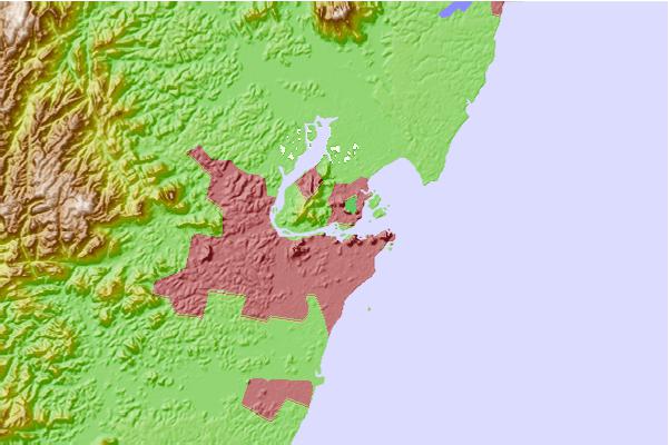
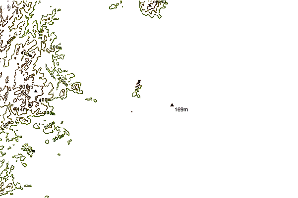
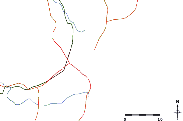
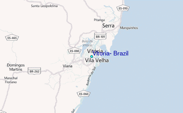
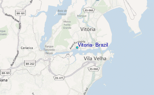
Use this relief map to navigate to tide stations, surf breaks and cities that are in the area of Vitoria, Brazil.
Other Nearby Locations' tide tables and tide charts to Vitoria, Brazil:
click location name for more details
 Surf breaks close to Vitoria, Brazil:
|
||
|---|---|---|
| Closest surf break | Barrinha | 2 mi |
| Second closest surf break | Coral Um | 2 mi |
| Third closest surf break | Ponta da Belina | 2 mi |
| Fourth closest surf break | Barrao | 3 mi |
| Fifth closest surf break | Coral Dois | 3 mi |


 Nearest
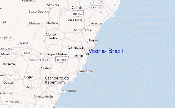