
| Distance / Altitude | Location | Report Date / Time | Live Weather | Wind | Gusts | Temp. | Visibility | Cloud |
|---|---|---|---|---|---|---|---|---|
| 12 km E / 200 m | Cardinham Automatic Weather Station (United Kingdom) | 2025-12-21 04:00 local (2025/12/21 04:00 GMT) | Continuous light rain | light winds from the SE (9 km/h at 140) | 6°C | 50 km | - scattered - | |
| 15 km SSW / 119 m | Newquay Airport (United kingdom) | 2025-12-21 03:20 local (2025/12/21 03:20 GMT) | Dry and partly cloudy | light winds from the SE (15 km/h at 130) | 5°C | 10.0 | no cloud | |
| 30 km SSW / 3 m | Perranporth Waverider (Marine) | 2025-12-21 03:01 local (2025/12/21 03:01 GMT) | - (- km/h at -) | — | - | |||
| 36 km ESE / 3 m | Looe Bay Waverider (Marine) | 2025-12-21 02:50 local (2025/12/21 02:50 GMT) | - (- km/h at -) | — | - | |||
| 47 km SSW / 240 m | Camborne (United Kingdom) | 2025-12-21 04:00 local (2025/12/21 04:00 GMT) | - | wind obs. (13 kph from 320 degs) was rejected (- km/h at -) | — | 35 | - clear - | |
| 53 km SE / 3 m | BUOY-62030 (Marine) | 2025-12-21 03:00 local (2025/12/21 03:00 GMT) | - (- km/h at -) | 12°C | - | |||
| 54 km ESE / 51 m | Plymouth- Mount Batten (United Kingdom) | 2025-12-21 04:00 local (2025/12/21 04:00 GMT) | - | light winds from the ENE (11 km/h at 60) | — | 21 | - scattered - | |
| 57 km S / 76 m | Culdrose Airport (United Kingdom) | 2025-12-21 04:00 local (2025/12/21 04:00 GMT) | - | light winds from the E (11 km/h at 100) | 4°C | 48 km | - scattered - | |
| 58 km S / 210 m | Culdrose Airport (United Kingdom) | 2025-12-21 03:20 local (2025/12/21 03:20 GMT) | Dry and partly cloudy | light winds from the SE (9 km/h at 140) | 6°C | 10.0 | no cloud | |
| 61 km SSW / 3 m | Porthleven Waverider (Marine) | 2025-12-21 02:31 local (2025/12/21 02:31 GMT) | - (- km/h at -) | — | - |
| Contours: | Roads & Rivers: | Select a
tide station / surf break / city |
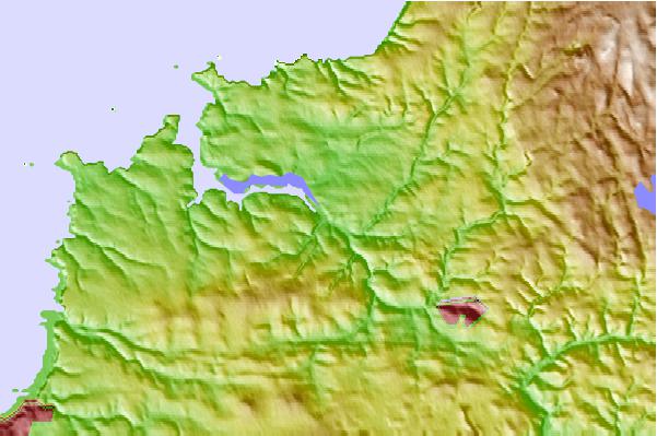
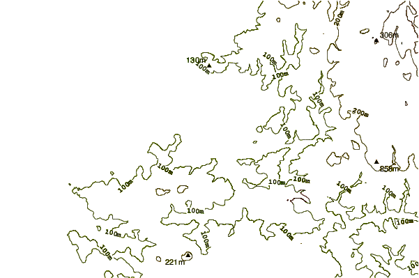
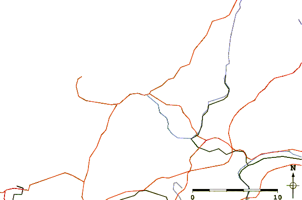
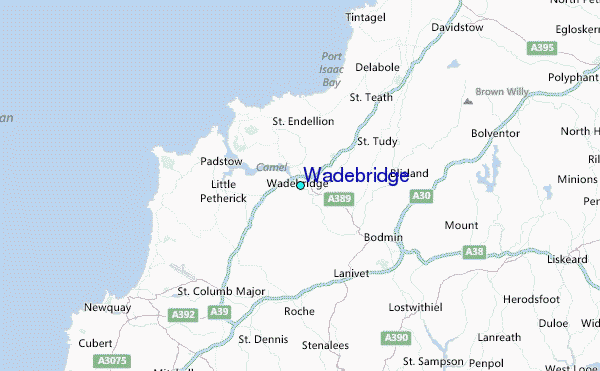
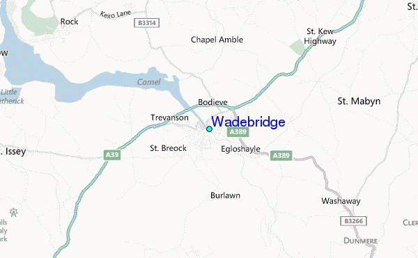
Use this relief map to navigate to tide stations, surf breaks and cities that are in the area of Wadebridge.
Other Nearby Locations' tide tables and tide charts to Wadebridge:
click location name for more details
 Surf breaks close to Wadebridge:
|
||
|---|---|---|
| Closest surf break | Daymer Point | 5 mi |
| Second closest surf break | Lundy Bay | 5 mi |
| Third closest surf break | Polzeath | 6 mi |
| Fourth closest surf break | Port Isaac | 6 mi |
| Fifth closest surf break | Tregardock | 6 mi |


 Nearest
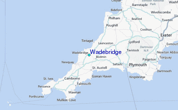