
| Distance / Altitude | Location | Report Date / Time | Live Weather | Wind | Gusts | Temp. | Visibility | Cloud |
|---|---|---|---|---|---|---|---|---|
| 27 km S / 151 m | Kerikeri Aero Automatic Weather Station (New Zealand) | 2026-04-04 23:00 local (2026/04/04 10:00 GMT) | Continuous light rain | light winds from the SSE (11 km/h at 160) | 16°C | 500 m | no observation | |
| 53 km W / 18 m | Tokerau Beach wx (New Zealand) | 2026-04-04 22:28 local (2026/04/04 09:28 GMT) | dry | light winds from the E (6 km/h at 90) | 19°C | - | - - 0 | |
| 59 km WSW / 86 m | Kaitaia Airport (New Zealand) | 2026-04-04 23:00 local (2026/04/04 10:00 GMT) | Clear skies | light winds from the ESE (9 km/h at 120) | 17°C | 20 km | - no observation - | |
| 92 km SSE / 38 m | Whangarei Aero Automatic Weather Station (New Zealand) | 2026-04-04 23:00 local (2026/04/04 10:00 GMT) | Clear skies | light winds from the ESE (6 km/h at 110) | 16°C | 20 km | no observation | |
| 92 km SSE / 38 m | Whangarei Aerodrome (New Zealand) | 2026-04-04 22:00 local (2026/04/04 09:00 GMT) | Moderate to heavy rain showers | light winds from the E (11 km/h at 80) | 16°C | 4 km | - no observation - | |
| 132 km W / 212 m | CapeReingaAws (New Zealand) | 2026-04-04 23:00 local (2026/04/04 10:00 GMT) | - | strong winds from the ENE (41 km/h at 60) | 17°C | - | - no observation - | |
| 146 km SE / 70 m | MokohinauIslandAws (New Zealand) | 2026-04-04 23:00 local (2026/04/04 10:00 GMT) | - | fresh winds from the E (31 km/h at 90) | 19°C | - | - no observation - | |
| 193 km SSE / 75 m | Albany (New Zealand) | 2026-04-04 22:43 local (2026/04/04 09:43 GMT) | dry | light winds from the ENE (6 km/h at 67) | 18°C | - | - - 0 | |
| 195 km SSE / 64 m | Auckland (New Zealand) | 2026-04-04 22:23 local (2026/04/04 09:23 GMT) | dry | calm (2 km/h at 71) | 18°C | - | - - 0 | |
| 207 km SSE / 85 m | Maori Bay- Muriwai (New Zealand) | 2026-04-04 23:00 local (2026/04/04 10:00 GMT) | - | light winds from the ENE (7 km/h at 60) | — | - | - - 0 |
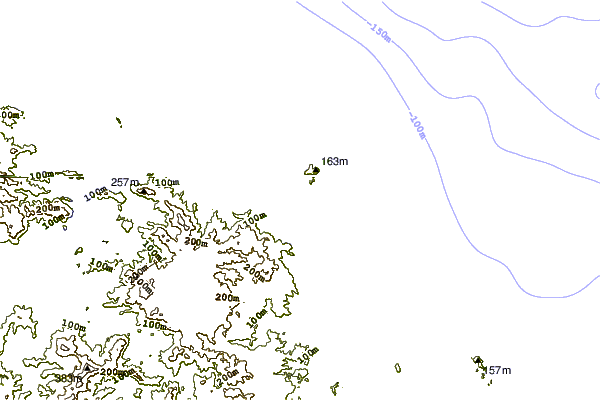
| Contours: | Roads & Rivers: | Select a
tide station / surf break / city |
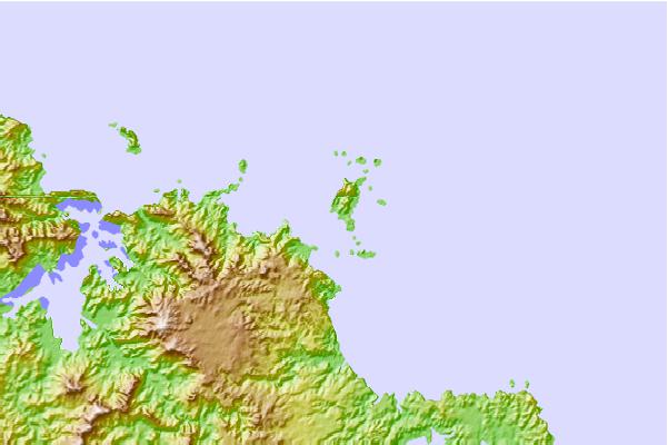
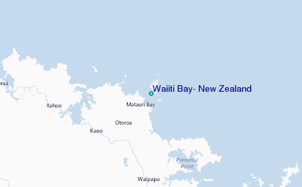
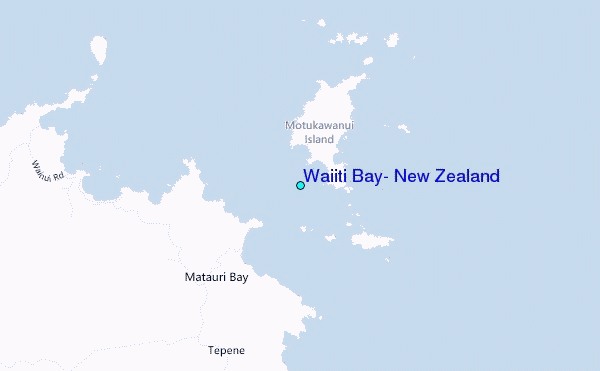
Use this relief map to navigate to tide stations, surf breaks and cities that are in the area of Waiiti Bay, New Zealand.
Other Nearby Locations' tide tables and tide charts to Waiiti Bay, New Zealand:
click location name for more details
 Surf breaks close to Waiiti Bay, New Zealand:
|
||
|---|---|---|
| Closest surf break | Matauri Bay | 2 mi |
| Second closest surf break | Wainui Bay | 4 mi |
| Third closest surf break | Takou Bay | 6 mi |
| Fourth closest surf break | Tauranga Bay | 6 mi |
| Fifth closest surf break | Taronui Bay-Bombora | 8 mi |


 Nearest
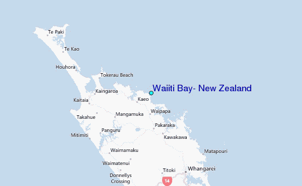