
| Distance / Altitude | Location | Report Date / Time | Live Weather | Wind | Gusts | Temp. | Visibility | Cloud |
|---|---|---|---|---|---|---|---|---|
| 8 km SSE / 3 m | BUOY-HRRH1 (Marine) | 2026-04-04 07:30 local (2026/04/04 17:30 GMT) | - (0 km/h at -) | 19°C | - | |||
| 10 km SE / 3 m | BUOY-MOKH1 (Marine) | 2026-04-04 07:36 local (2026/04/04 17:36 GMT) | calm (5 km/h at 50) | 22°C | - | |||
| 10 km ESE / 3 m | Kaneohe Bay- WETS- HI (Marine) | 2026-04-04 07:56 local (2026/04/04 17:56 GMT) | - (- km/h at -) | — | - | |||
| 11 km SE / 216 m | Kaneohe Bay Marine Corps Airfield Airport (Hawaii) | 2026-04-04 06:57 local (2026/04/04 16:57 GMT) | Clear | light winds from the ENE (11 km/h at 70) | 21°C | 16 | ||
| 14 km SSW / 132 m | Pacific Palisades wx (United States) | 2026-04-04 07:20 local (2026/04/04 17:20 GMT) | dry | calm (0 km/h at 54) | 23°C | - | - - 0 | |
| 18 km SW / 717 m | Wheeler Air Force Base/oahu Airport (Hawaii) | 2026-04-04 07:55 local (2026/04/04 17:55 GMT) | Dry and partly cloudy | calm (0 km/h at 0) | 20°C | 16 | scattered | |
| 18 km SSW / 3 m | BUOY-PRHH1 (Marine) | 2026-04-04 07:48 local (2026/04/04 17:48 GMT) | - (0 km/h at -) | — | - | |||
| 19 km SSW / 15 m | SHIP3030 (Marine) | 2026-04-04 06:00 local (2026/04/04 16:00 GMT) | light winds from the N (7.5600000000000005 km/h at 0) | — | - km | |||
| 19 km SSW / 15 m | SHIP6651 (Marine) | 2026-04-04 06:00 local (2026/04/04 16:00 GMT) | moderate winds from the NE (27.720000000000002 km/h at 40) | 24°C | - km | |||
| 19 km SSW / - m | SHIP875 (ocean) | 2026-04-04 08:00 local (2026/04/04 18:00 GMT) | No report | light winds from the N (6 km/h at 350) | 21°C | - | no observation |
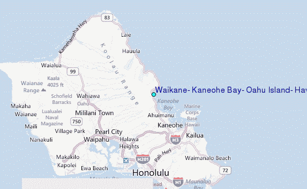
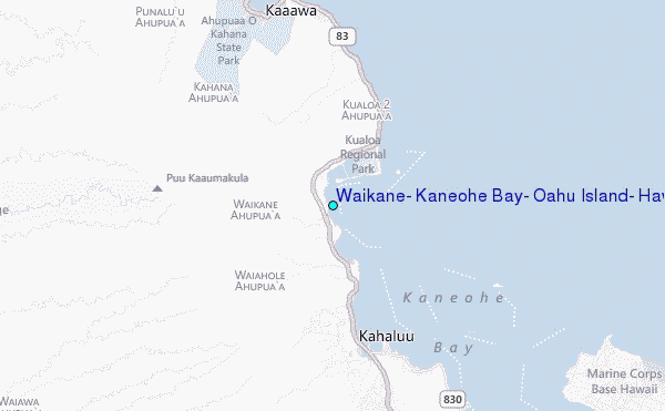
Choose Waikane, Kaneohe Bay, Oahu Island, Hawaii Location Map Zoom:
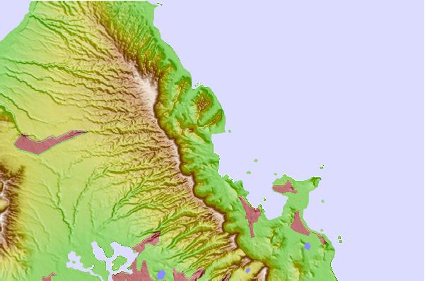
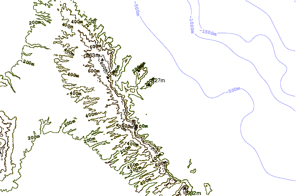
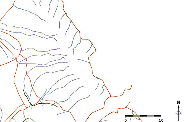
| Contours: | Roads & Rivers: | Select a
tide station / surf break / city |
Use this relief map to navigate to tide stations, surf breaks and cities that are in the area of Waikane, Kaneohe Bay, Oahu Island, Hawaii.
Other Nearby Locations' tide tables and tide charts to Waikane, Kaneohe Bay, Oahu Island, Hawaii:
click location name for more details
 Surf breaks close to Waikane, Kaneohe Bay, Oahu Island, Hawaii:
|
||
|---|---|---|
| Closest surf break | Chinamans Hat/Mokolii | 1 mi |
| Second closest surf break | Kualoa Point | 2 mi |
| Third closest surf break | Crouching Lion | 4 mi |
| Fourth closest surf break | Kahana Bay | 5 mi |
| Fifth closest surf break | Ripps Reef | 5 mi |


 Nearest
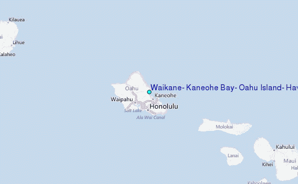