
| Distance / Altitude | Location | Report Date / Time | Live Weather | Wind | Gusts | Temp. | Visibility | Cloud |
|---|---|---|---|---|---|---|---|---|
| 31 km S / 400 m | Collins Hill (New Zealand) | 2024-07-27 13:00 local (2024/07/27 01:00 GMT) | - | light winds from the N (9 km/h at 356) | — | - | - - 0 | |
| 31 km S / 6 m | Picton (New Zealand) | 2024-07-27 13:00 local (2024/07/27 01:00 GMT) | Dry | wind obs. (9 kph from 45 degs) was rejected (- km/h at -) | 15°C | - | - - - | |
| 37 km S / 40 m | Koromiko (New Zealand) | 2024-07-27 13:40 local (2024/07/27 01:40 GMT) | Recent light rain | calm (2 km/h at 135) | 4°C | - | - - - | |
| 39 km N / -152 m | Stephens Island Automatic Weather Station (New Zealand) | 2024-07-27 13:00 local (2024/07/27 01:00 GMT) | - | light winds from the SSW (11 km/h at 210) | 13°C | - | no observation | |
| 39 km N / -152 m | Stephens Island Automatic Weather Station (New Zealand) | 2024-07-27 13:00 local (2024/07/27 01:00 GMT) | - | light winds from the SSW (11 km/h at 210) | 13°C | - | no observation | |
| 43 km SSW / 410 m | Footes (New Zealand) | 2024-07-27 13:00 local (2024/07/27 01:00 GMT) | - | light winds from the ESE (9 km/h at 123) | 16°C | - | - - 0 | |
| 44 km SSW / 400 m | Canvastown (New Zealand) | 2024-07-27 13:00 local (2024/07/27 01:00 GMT) | - | light winds from the NNW (9 km/h at 348) | 16°C | - | - - 0 | |
| 55 km S / 8 m | Blenheim (New Zealand) | 2024-07-27 13:47 local (2024/07/27 01:47 GMT) | dry | calm (2 km/h at 0) | 21°C | - | - - 0 | |
| 59 km S / 50 m | Blenheim (New Zealand) | 2024-07-27 13:46 local (2024/07/27 01:46 GMT) | dry | calm (3 km/h at 269) | 17°C | - | - - 0 | |
| 61 km ESE / 40 m | MakaraNZ (New Zealand) | 2024-07-27 13:30 local (2024/07/27 01:30 GMT) | Dry | calm (0 km/h at 45) | 14°C | - | - - - |
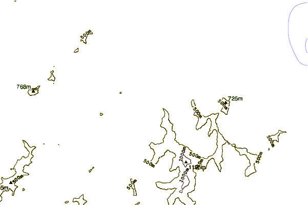
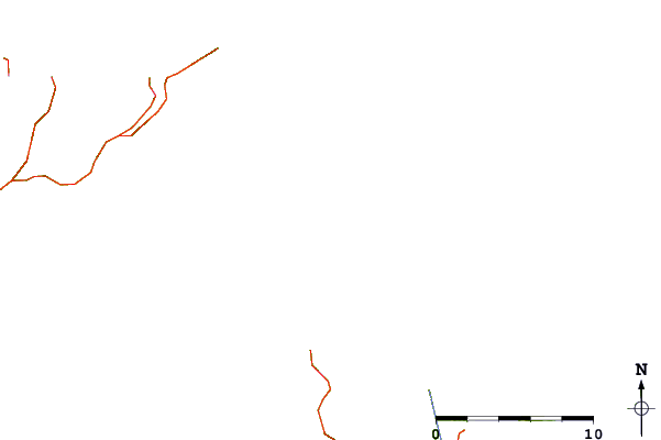
| Contours: | Roads & Rivers: | Select a
tide station / surf break / city |

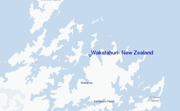
Use this relief map to navigate to tide stations, surf breaks and cities that are in the area of Wakatahuri, New Zealand.
Other Nearby Locations' tide tables and tide charts to Wakatahuri, New Zealand:
click location name for more details
 Surf breaks close to Wakatahuri, New Zealand:
|
||
|---|---|---|
| Closest surf break | Robin Hood Bay | 25 mi |
| Second closest surf break | Whites Bay | 26 mi |
| Third closest surf break | Whangamoa | 28 mi |
| Fourth closest surf break | Magnets | 29 mi |
| Fifth closest surf break | Delaware Bay (East end) | 32 mi |

 Nearest
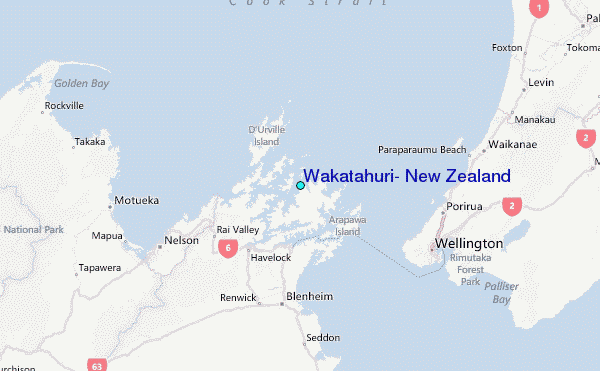