
| Distance / Altitude | Location | Report Date / Time | Live Weather | Wind | Gusts | Temp. | Visibility | Cloud |
|---|---|---|---|---|---|---|---|---|
| 0 km E / 3 m | BUOY-WAKP8 (Marine) | 2026-05-04 12:48 local (2026/05/04 00:48 GMT) | fresh winds from the ENE (30 km/h at 70) | — | - | |||
| 3 km ESE / 194 m | Wake Island Airfield Airport (Wake Island) | 2026-05-04 11:55 local (2026/05/03 23:55 GMT) | - | fresh winds from the NE (35 km/h at 50) | 30°C | 11 | few | |
| 102 km N / 15 m | ASCATC167E20N (Marine) | 2026-05-04 11:10 local (2026/05/03 23:10 GMT) | fresh winds from the ENE (36 km/h at 78) | — | - km | |||
| 113 km W / 15 m | ASCATC166E20N (Marine) | 2026-05-04 11:10 local (2026/05/03 23:10 GMT) | strong winds from the ENE (39 km/h at 74) | — | - km | |||
| 114 km W / 15 m | ASCATB166E20N (Marine) | 2026-05-04 10:39 local (2026/05/03 22:39 GMT) | strong winds from the ENE (40 km/h at 73) | — | - km | |||
| 136 km SSW / 15 m | ASCATC166E19N (Marine) | 2026-05-04 11:11 local (2026/05/03 23:11 GMT) | strong winds from the ENE (42 km/h at 76) | — | - km | |||
| 139 km SSW / 15 m | ASCATB166E19N (Marine) | 2026-05-04 10:39 local (2026/05/03 22:39 GMT) | strong winds from the ENE (43 km/h at 77) | — | - km | |||
| 142 km N / 15 m | ASCATC167E21N (Marine) | 2026-05-04 11:10 local (2026/05/03 23:10 GMT) | fresh winds from the ENE (34 km/h at 78) | — | - km | |||
| 184 km WNW / 15 m | ASCATB166E21N (Marine) | 2026-05-04 10:39 local (2026/05/03 22:39 GMT) | fresh winds from the E (36 km/h at 82) | — | - km | |||
| 185 km WNW / 15 m | ASCATC166E21N (Marine) | 2026-05-04 11:10 local (2026/05/03 23:10 GMT) | fresh winds from the E (34 km/h at 81) | — | - km |
| Contours: | Roads & Rivers: | Select a
tide station / surf break / city |
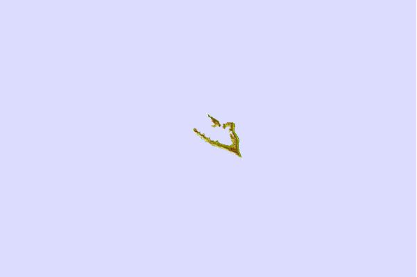
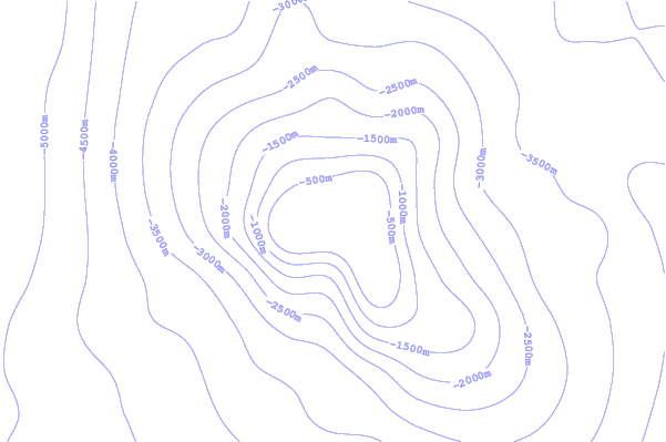

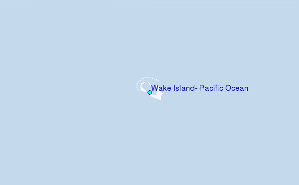
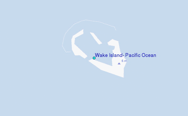
Use this relief map to navigate to tide stations, surf breaks and cities that are in the area of Wake Island, Pacific Ocean.
Other Nearby Locations' tide tables and tide charts to Wake Island, Pacific Ocean:
click location name for more details
 Surf breaks close to Wake Island, Pacific Ocean:
|
||
|---|---|---|
| Closest surf break | Sidedish | 996 mi |
| Second closest surf break | Walung | 998 mi |
| Third closest surf break | Naa | 1293 mi |
| Fourth closest surf break | Bird Island | 1399 mi |
| Fifth closest surf break | Tank Beach | 1401 mi |


 Nearest
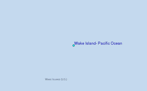