
| Distance / Altitude | Location | Report Date / Time | Live Weather | Wind | Gusts | Temp. | Visibility | Cloud |
|---|---|---|---|---|---|---|---|---|
| 16 km ESE / 454 m | Walvis Bay Airport (Namibia) | 2026-07-01 11:00 local (2026/07/01 09:00 GMT) | - | moderate winds from the SSW (20 km/h at 200) | — | 0.0 | ||
| 109 km W / 15 m | ASCATC14E22S (Marine) | 2026-07-01 09:49 local (2026/07/01 07:49 GMT) | light winds from the SE (17 km/h at 136) | — | - km | |||
| 110 km SW / 15 m | ASCATB14E23S (Marine) | 2026-07-01 09:23 local (2026/07/01 07:23 GMT) | light winds from the SSE (19 km/h at 155) | — | - km | |||
| 117 km SW / 15 m | ASCATC14E23S (Marine) | 2026-07-01 09:50 local (2026/07/01 07:50 GMT) | light winds from the SSE (18 km/h at 156) | — | - km | |||
| 119 km W / 15 m | ASCATB14E22S (Marine) | 2026-07-01 09:23 local (2026/07/01 07:23 GMT) | light winds from the SE (19 km/h at 146) | — | - km | |||
| 190 km S / 15 m | ASCATC14E24S (Marine) | 2026-07-01 09:50 local (2026/07/01 07:50 GMT) | light winds from the SE (11 km/h at 124) | — | - km | |||
| 198 km S / 15 m | ASCATB14E24S (Marine) | 2026-07-01 09:23 local (2026/07/01 07:23 GMT) | light winds from the SE (13 km/h at 133) | — | - km | |||
| 205 km W / 15 m | ASCATC13E22S (Marine) | 2026-07-01 09:49 local (2026/07/01 07:49 GMT) | moderate winds from the SE (21 km/h at 139) | — | - km | |||
| 206 km SW / 15 m | ASCATB13E23S (Marine) | 2026-07-01 09:23 local (2026/07/01 07:23 GMT) | moderate winds from the SSE (27 km/h at 159) | — | - km | |||
| 211 km SW / 15 m | ASCATC13E23S (Marine) | 2026-07-01 09:50 local (2026/07/01 07:50 GMT) | moderate winds from the SE (21 km/h at 138) | — | - km |
| Contours: | Roads & Rivers: | Select a
tide station / surf break / city |
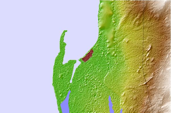
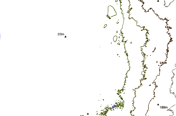
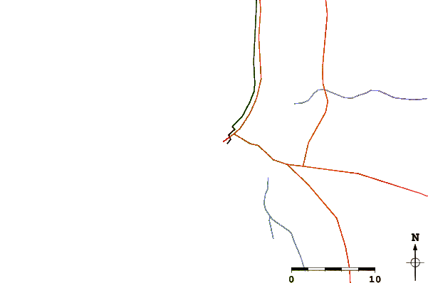
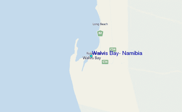
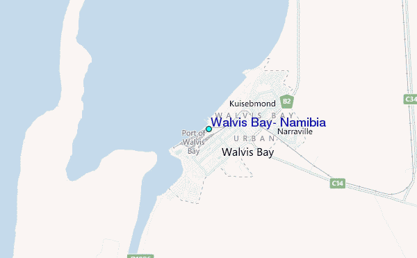
Use this relief map to navigate to tide stations, surf breaks and cities that are in the area of Walvis Bay, Namibia.
Other Nearby Locations' tide tables and tide charts to Walvis Bay, Namibia:
click location name for more details
 Surf breaks close to Walvis Bay, Namibia:
|
||
|---|---|---|
| Closest surf break | Last Toilet | 7 mi |
| Second closest surf break | Guns | 8 mi |
| Third closest surf break | Mussels | 8 mi |
| Fourth closest surf break | Paradise | 16 mi |
| Fifth closest surf break | Tiger Reef | 19 mi |


 Nearest
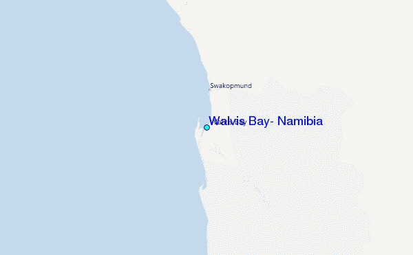