
| Distance / Altitude | Location | Report Date / Time | Live Weather | Wind | Gusts | Temp. | Visibility | Cloud |
|---|---|---|---|---|---|---|---|---|
| 32 km ESE / 206 m | Klawock Airport (Alaska) | 2026-03-03 16:53 local (2026/03/04 01:53 GMT) | Light rain | wind obs. (15 kph from 160 degs) was rejected (- km/h at -) | 9°C | 16 | broken overcast | |
| 37 km SE / 3 m | BUOY-CRGA2 (Marine) | 2026-03-03 17:24 local (2026/03/04 02:24 GMT) | light winds from the SSE (18 km/h at 160) | 7°C | - | |||
| 50 km WNW / 3 m | BUOY-CDEA2 (Marine) | 2026-03-03 17:22 local (2026/03/04 02:22 GMT) | fresh winds from the SSE (30 km/h at 150) | 7°C | - | |||
| 62 km NE / 3 m | BUOY-LCNA2 (Marine) | 2026-03-03 17:10 local (2026/03/04 02:10 GMT) | moderate winds from the SE (21 km/h at 140) | 7°C | - | |||
| 73 km SE / 215 m | Hydaburg Airport (Alaska) | 2026-03-03 16:56 local (2026/03/04 01:56 GMT) | Light rain | moderate winds from the ESE (28 km/h at 110) | 7°C | 16 | overcast | |
| 83 km E / 3 m | BUOY-SPXA2 (Marine) | 2026-03-03 18:02 local (2026/03/04 03:02 GMT) | fresh winds from the ESE (35 km/h at 120) | 8°C | - | |||
| 84 km WNW / 15 m | SHIP3137 (Marine) | 2026-03-03 17:00 local (2026/03/04 02:00 GMT) | gales from the NNW (64.8 km/h at 340) | 6°C | 8.1 km | |||
| 84 km WNW / 15 m | SHIP7543 (Marine) | 2026-03-03 17:00 local (2026/03/04 02:00 GMT) | gales from the NNW (64.8 km/h at 340) | 6°C | 8.1 km | |||
| 84 km WNW / - m | SHIP182 (ocean) | 2026-03-03 17:00 local (2026/03/04 02:00 GMT) | State of sky unchanged | gales from the NNW (65 km/h at 340) | — | 10 km | overcast | |
| 84 km WNW / 3 m | SHIP2900 (Marine) | 2026-03-03 17:00 local (2026/03/04 02:00 GMT) | gales from the NNW (65 km/h at 340) | — | 9.3 |
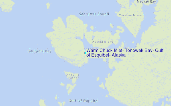
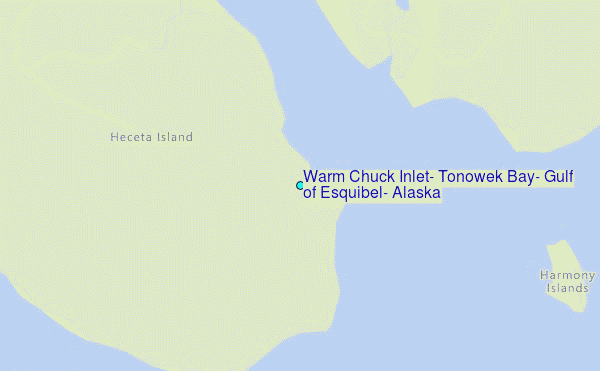
Choose Warm Chuck Inlet, Tonowek Bay, Gulf of Esquibel, Alaska Location Map Zoom:
| Contours: | Roads & Rivers: | Select a
tide station / surf break / city |
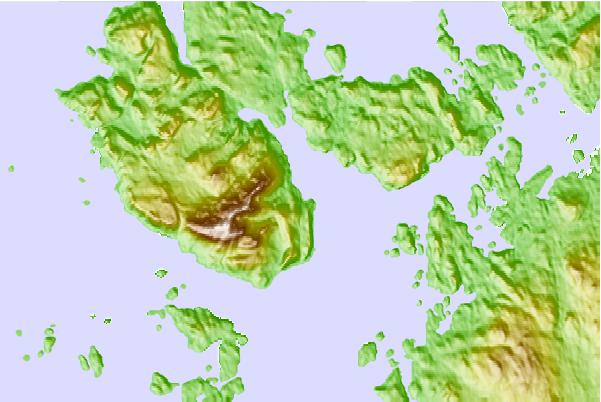
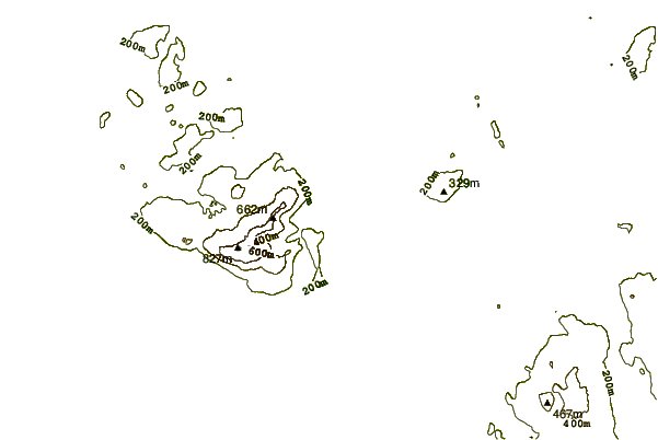

Use this relief map to navigate to tide stations, surf breaks and cities that are in the area of Warm Chuck Inlet, Tonowek Bay, Gulf of Esquibel, Alaska.
Other Nearby Locations' tide tables and tide charts to Warm Chuck Inlet, Tonowek Bay, Gulf of Esquibel, Alaska:
click location name for more details
 Surf breaks close to Warm Chuck Inlet, Tonowek Bay, Gulf of Esquibel, Alaska:
|
||
|---|---|---|
| Closest surf break | Lepus Beach (Haida-Gwaii) | 110 mi |
| Second closest surf break | Tow Hill Beach | 133 mi |
| Third closest surf break | Cannon Beach | 349 mi |
| Fourth closest surf break | Graveyards | 352 mi |
| Fifth closest surf break | Ocean Cape | 353 mi |


 Nearest
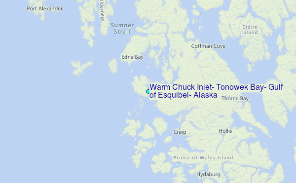