
| Distance / Altitude | Location | Report Date / Time | Live Weather | Wind | Gusts | Temp. | Visibility | Cloud |
|---|---|---|---|---|---|---|---|---|
| 2 km WNW / 218 m | Providence/Theodore Francis Green State Airport (Rhode Island) | 2026-05-19 04:51 local (2026/05/19 08:51 GMT) | Clear | light winds from the SSE (11 km/h at 160) | 17°C | 14 | ||
| 6 km ENE / 3 m | BUOY-CPTR1 (Marine) | 2026-05-19 05:48 local (2026/05/19 09:48 GMT) | moderate winds from the S (21 km/h at 170) | — | - | |||
| 9 km SE / 3 m | BUOY-PTCR1 (Marine) | 2026-05-19 05:48 local (2026/05/19 09:48 GMT) | light winds from the SW (8 km/h at 230) | — | - | |||
| 9 km SE / 3 m | BUOY-NAXR1 (Marine) | 2026-05-19 05:00 local (2026/05/19 09:00 GMT) | light winds from the NE (9 km/h at 50) | 16°C | - | |||
| 10 km S / 3 m | BUOY-PDVR1 (Marine) | 2026-05-19 05:48 local (2026/05/19 09:48 GMT) | light winds from the S (11 km/h at 190) | — | - | |||
| 10 km NNE / 3 m | BUOY-PVDR1 (Marine) | 2026-05-19 05:48 local (2026/05/19 09:48 GMT) | light winds from the SSE (15 km/h at 150) | — | 10.9 | |||
| 11 km S / 273 m | Nort Kingston/Quonset State Airport (Rhode Island) | 2026-05-19 05:35 local (2026/05/19 09:35 GMT) | Clear | moderate winds from the S (22 km/h at 180) | 17°C | 16 | ||
| 12 km N / 3 m | BUOY-FOXR1 (Marine) | 2026-05-19 05:48 local (2026/05/19 09:48 GMT) | light winds from the SSE (13 km/h at 160) | — | - | |||
| 14 km SE / 3 m | BUOY-PRUR1 (Marine) | 2026-05-19 05:30 local (2026/05/19 09:30 GMT) | - (- km/h at -) | 15°C | - | |||
| 20 km E / 3 m | BUOY-FRXM3 (Marine) | 2026-05-19 05:30 local (2026/05/19 09:30 GMT) | - (- km/h at -) | 20°C | 10.9 |
| Contours: | Roads & Rivers: | Select a
tide station / surf break / city |
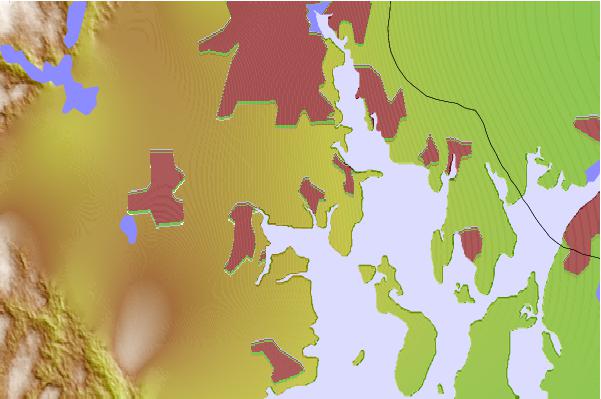
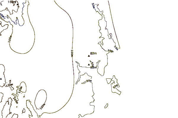
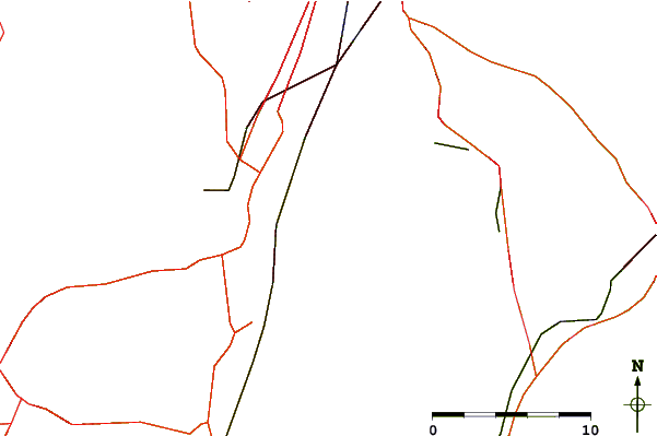
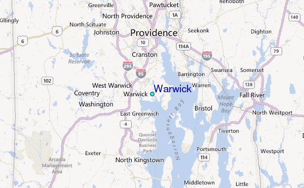
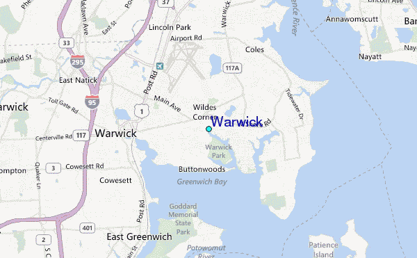
Use this relief map to navigate to tide stations, surf breaks and cities that are in the area of Warwick.
Other Nearby Locations' tide tables and tide charts to Warwick:
click location name for more details
 Surf breaks close to Warwick:
|
||
|---|---|---|
| Closest surf break | Bonnet Shores Point | 15 mi |
| Second closest surf break | Bonnet Point | 16 mi |
| Third closest surf break | Eastons Beach (1st Beach) | 16 mi |
| Fourth closest surf break | Sachuest Beach (2nd Beach) | 17 mi |
| Fifth closest surf break | 2nd Beach | 17 mi |


 Nearest
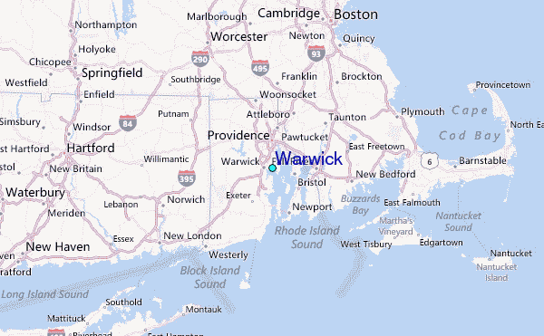