
| Distance / Altitude | Location | Report Date / Time | Live Weather | Wind | Gusts | Temp. | Visibility | Cloud |
|---|---|---|---|---|---|---|---|---|
| 20 km NNE / 3 m | BUOY-CRGA2 (Marine) | 2025-12-21 04:24 local (2025/12/21 13:24 GMT) | calm (2 km/h at 330) | -5°C | - | |||
| 34 km NNE / 206 m | Klawock Airport (Alaska) | 2025-12-21 03:53 local (2025/12/21 12:53 GMT) | Dry and cloudy | light winds from the NNE.(Wind varies from 300 to 050 degs) (19 km/h at 20) | -4°C | 16 | overcast | |
| 70 km SSE / 15 m | SHIP2996 (Marine) | 2025-12-21 03:00 local (2025/12/21 12:00 GMT) | strong winds from the E (42.480000000000004 km/h at 80) | — | - km | |||
| 74 km ENE / 3 m | BUOY-SPXA2 (Marine) | 2025-12-21 05:02 local (2025/12/21 14:02 GMT) | light winds from the NNE (8 km/h at 20) | -4°C | - | |||
| 88 km ENE / 3 m | BUOY-GIXA2 (Marine) | 2025-12-21 05:02 local (2025/12/21 14:02 GMT) | light winds from the N (13 km/h at 10) | -4°C | - | |||
| 73 km SSE / 15 m | SHIP7623 (Marine) | 2025-12-21 03:00 local (2025/12/21 12:00 GMT) | strong winds from the ENE (44.64 km/h at 60) | — | - km | |||
| 73 km SSE / 3 m | SHIP8743 (Marine) | 2025-12-21 03:00 local (2025/12/21 12:00 GMT) | strong winds from the ENE (45 km/h at 60) | -1°C | - | |||
| 74 km ENE / 3 m | BUOY-SPXA2 (Marine) | 2025-12-21 05:02 local (2025/12/21 14:02 GMT) | light winds from the NNE (8 km/h at 20) | -4°C | - | |||
| 83 km SSE / 15 m | SHIP3826 (Marine) | 2025-12-21 04:00 local (2025/12/21 13:00 GMT) | strong winds from the ENE (40.68000000000001 km/h at 60) | — | - km | |||
| 86 km SSE / 15 m | SHIP9209 (Marine) | 2025-12-21 04:00 local (2025/12/21 13:00 GMT) | fresh winds from the ENE (37.080000000000005 km/h at 70) | — | - km |
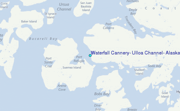
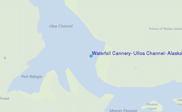
Choose Waterfall Cannery, Ulloa Channel, Alaska Location Map Zoom:
| Contours: | Roads & Rivers: | Select a
tide station / surf break / city |
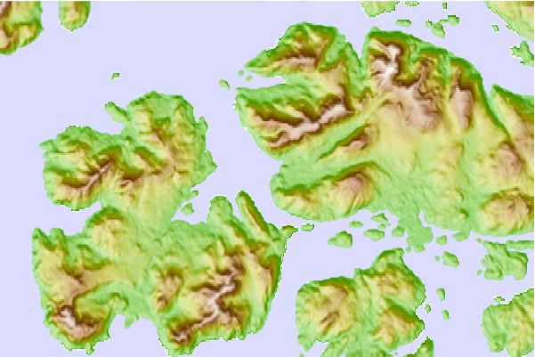
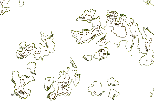
Use this relief map to navigate to tide stations, surf breaks and cities that are in the area of Waterfall Cannery, Ulloa Channel, Alaska.
Other Nearby Locations' tide tables and tide charts to Waterfall Cannery, Ulloa Channel, Alaska:
click location name for more details
 Surf breaks close to Waterfall Cannery, Ulloa Channel, Alaska:
|
||
|---|---|---|
| Closest surf break | Lepus Beach (Haida-Gwaii) | 79 mi |
| Second closest surf break | Tow Hill Beach | 103 mi |
| Third closest surf break | Cannon Beach | 378 mi |
| Fourth closest surf break | Graveyards | 382 mi |
| Fifth closest surf break | Ocean Cape | 383 mi |


 Nearest
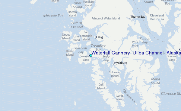