
| Distance / Altitude | Location | Report Date / Time | Live Weather | Wind | Gusts | Temp. | Visibility | Cloud |
|---|---|---|---|---|---|---|---|---|
| 10 km S / 72 m | Gig Harbor (Washington) | 2026-04-26 06:49 local (2026/04/26 13:49 GMT) | dry | calm (0 km/h at 322) | 3°C | - | - - 0 | |
| 13 km SSE / 219 m | Tacoma Airport (Washington) | 2026-04-26 05:53 local (2026/04/26 12:53 GMT) | Clear | calm (0 km/h at 0) | 4°C | 16 | ||
| 16 km NW / 537 m | Bremerton National Airport (Washington) | 2026-04-26 05:56 local (2026/04/26 12:56 GMT) | Clear | calm (0 km/h at 0) | 0°C | 16 | ||
| 16 km NW / 118 m | McCurry Heights Mobile Home Park wx (United States) | 2026-04-26 07:07 local (2026/04/26 14:07 GMT) | dry | calm (0 km/h at 40) | 5°C | - | - - 0 | |
| 20 km N / 3 m | BUOY-BMTW1 (Marine) | 2026-04-26 07:18 local (2026/04/26 14:18 GMT) | - (0 km/h at -) | — | - | |||
| 20 km ESE / 3 m | BUOY-TCMW1 (Marine) | 2026-04-26 07:18 local (2026/04/26 14:18 GMT) | calm (5 km/h at 100) | — | - | |||
| 21 km SE / 3 m | BUOY-TCNW1 (Marine) | 2026-04-26 07:18 local (2026/04/26 14:18 GMT) | - (- km/h at -) | — | - | |||
| 23 km SW / 60 m | Walkers Landing wx (United States) | 2026-04-26 07:02 local (2026/04/26 14:02 GMT) | dry | - (- km/h at ) | — | - | - - 0 | |
| 24 km ENE / 107 m | North Hill wx (United States) | 2026-04-26 07:23 local (2026/04/26 14:23 GMT) | dry | calm (0 km/h at 87) | 7°C | - | - - 0 | |
| 26 km SE / 128 m | Tacoma (Washington) | 2026-04-26 07:05 local (2026/04/26 14:05 GMT) | - | calm (0 km/h at 182) | 2°C | - | - - 0 |
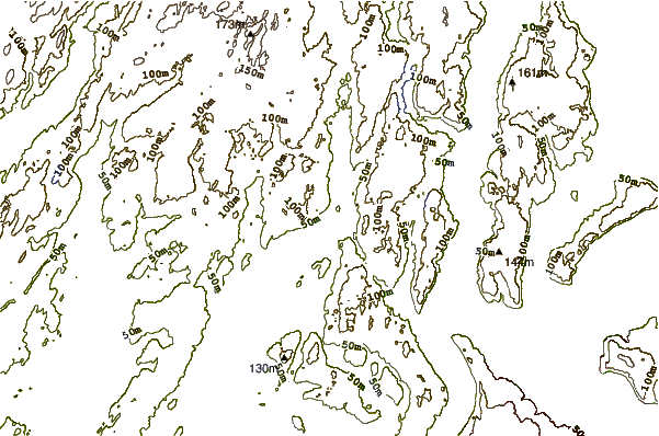
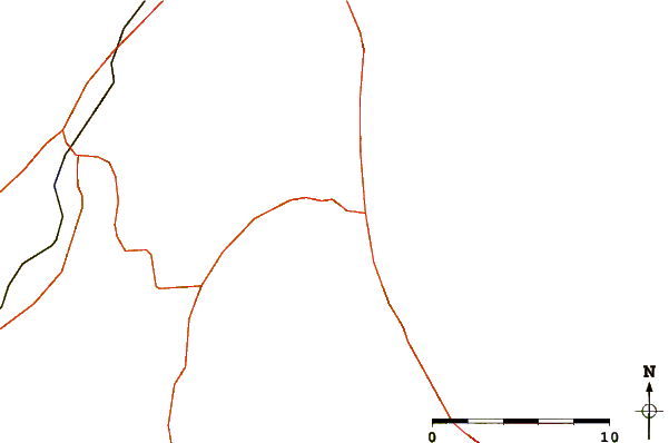
| Contours: | Roads & Rivers: | Select a
tide station / surf break / city |
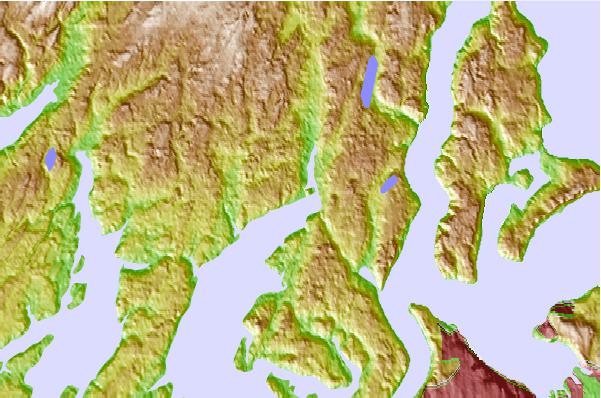
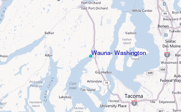
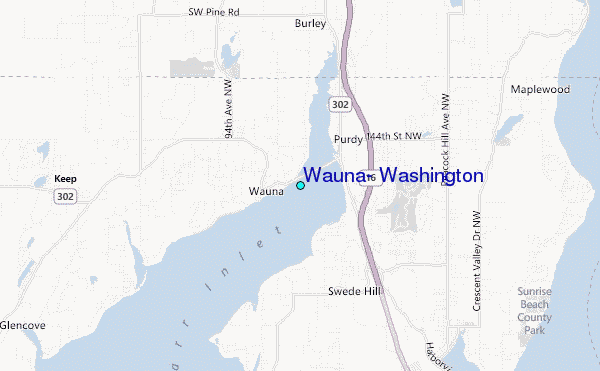
Use this relief map to navigate to tide stations, surf breaks and cities that are in the area of Wauna, Washington.
Other Nearby Locations' tide tables and tide charts to Wauna, Washington:
click location name for more details
 Surf breaks close to Wauna, Washington:
|
||
|---|---|---|
| Closest surf break | Fort. Ebey | 59 mi |
| Second closest surf break | Super green | 59 mi |
| Third closest surf break | Elwha | 68 mi |
| Fourth closest surf break | Crescent | 74 mi |
| Fifth closest surf break | Whiskey Creek | 75 mi |


 Nearest
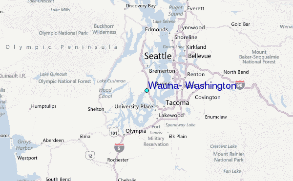