
| Distance / Altitude | Location | Report Date / Time | Live Weather | Wind | Gusts | Temp. | Visibility | Cloud |
|---|---|---|---|---|---|---|---|---|
| 19 km NW / 216 m | Homestead Air Force Base Airport (Florida) | 2026-03-13 20:05 local (2026/03/14 00:05 GMT) | Dry and partly cloudy | light winds from the NNE (7 km/h at 30) | 24°C | 16 | scattered | |
| 40 km NW / 218 m | Miami/Tamiami Airport (Florida) | 2026-03-13 19:53 local (2026/03/13 23:53 GMT) | Dry and partly cloudy | light winds from the E (7 km/h at 90) | 23°C | 0.0 | broken broken | |
| 49 km NNE / 3 m | BUOY-VAKF1 (Marine) | 2026-03-13 20:48 local (2026/03/14 00:48 GMT) | calm (5 km/h at 80) | — | - | |||
| 53 km N / 219 m | Miami Airport (Florida) | 2026-03-13 20:24 local (2026/03/14 00:24 GMT) | Thunderstorm heavy rain thunderstorm | light winds from the E (15 km/h at 80) | 23°C | 3 | scattered broken | |
| 66 km NNE / 0 m | lightning 16km NE of Miami Beach (United States) | 2026-03-13 21:20 local (2026/03/14 01:20 GMT) | Thunderstorm | (- km/h at -) | — | |||
| 67 km NNE / 0 m | lightning 17km E of Bal Harbour (United States) | 2026-03-13 21:20 local (2026/03/14 01:20 GMT) | Thunderstorm | (- km/h at -) | — | |||
| 67 km NNE / 0 m | lightning 16km E of Surfside (United States) | 2026-03-13 21:20 local (2026/03/14 01:20 GMT) | Thunderstorm | (- km/h at -) | — | |||
| 67 km N / 218 m | Miami/Opa-locka Airport (Florida) | 2026-03-13 20:30 local (2026/03/14 00:30 GMT) | Clear | light winds from the E (13 km/h at 100) | 23°C | 16 | ||
| 68 km ENE / 3 m | SHIP5519 (Marine) | 2026-03-13 20:00 local (2026/03/14 00:00 GMT) | - (- km/h at -) | 25°C | - | |||
| 68 km ENE / 3 m | SHIP4480 (Marine) | 2026-03-13 20:00 local (2026/03/14 00:00 GMT) | - (- km/h at -) | 25°C | - |
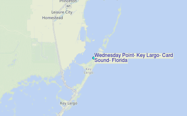
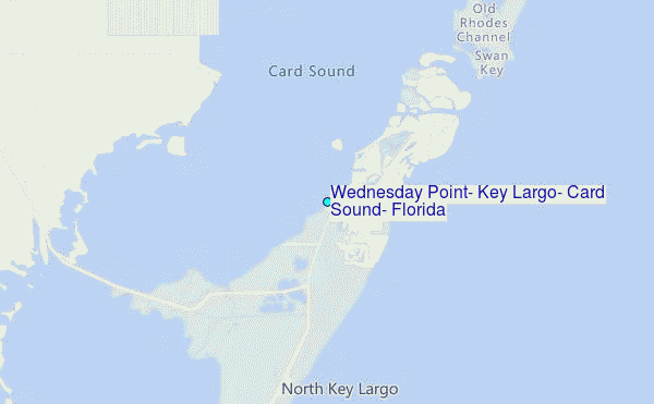
Choose Wednesday Point, Key Largo, Card Sound, Florida Location Map Zoom:
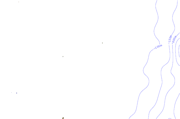
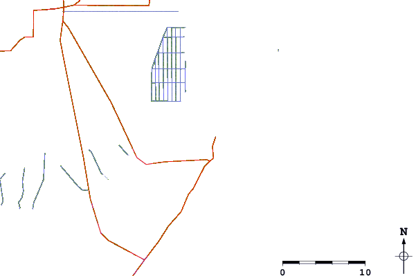
| Contours: | Roads & Rivers: | Select a
tide station / surf break / city |
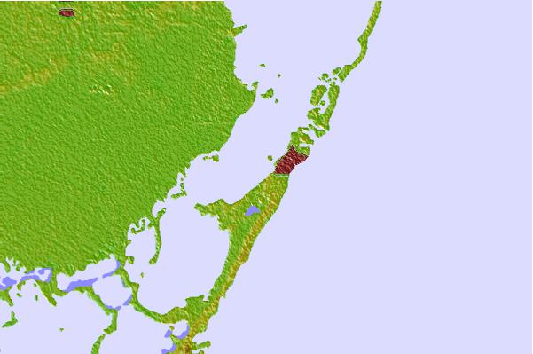
Use this relief map to navigate to tide stations, surf breaks and cities that are in the area of Wednesday Point, Key Largo, Card Sound, Florida.
Other Nearby Locations' tide tables and tide charts to Wednesday Point, Key Largo, Card Sound, Florida:
click location name for more details
 Surf breaks close to Wednesday Point, Key Largo, Card Sound, Florida:
|
||
|---|---|---|
| Closest surf break | South Beach (Miami) | 34 mi |
| Second closest surf break | Fifth Street (Miami) | 34 mi |
| Third closest surf break | 21st Street (Miami) | 35 mi |
| Fourth closest surf break | Dunes Hotel (Miami) | 37 mi |
| Fifth closest surf break | Harbor House | 42 mi |


 Nearest
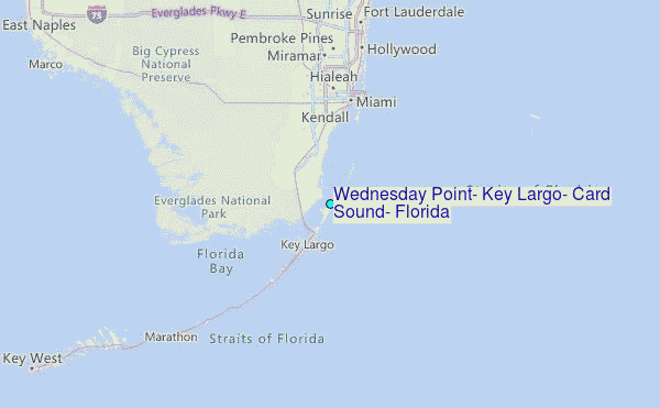