
| Distance / Altitude | Location | Report Date / Time | Live Weather | Wind | Gusts | Temp. | Visibility | Cloud |
|---|---|---|---|---|---|---|---|---|
| 2 km W / 3 m | BUOY-RTYC1 (Marine) | 2026-03-12 23:48 local (2026/03/13 06:48 GMT) | light winds from the WNW (8 km/h at 290) | — | - | |||
| 3 km S / 8 m | Atherton (California) | 2026-03-12 23:40 local (2026/03/13 06:40 GMT) | dry | calm (0 km/h at 157) | 9°C | - | - - 0 | |
| 5 km W / 393 m | San Carlos Airport (California) | 2026-03-12 23:35 local (2026/03/13 06:35 GMT) | Clear | calm (0 km/h at 0) | 13°C | 13 | ||
| 5 km SSE / 12 m | Lindenwood wx (United States) | 2026-03-13 00:07 local (2026/03/13 07:07 GMT) | dry | calm (2 km/h at 322) | 9°C | - | - - 0 | |
| 6 km WSW / 19 m | San Carlos (California) | 2026-03-12 23:05 local (2026/03/13 06:05 GMT) | dry | calm (0 km/h at 0) | 11°C | - | - - 0 | |
| 6 km S / 13 m | Lloyden Park wx (United States) | 2026-03-13 00:02 local (2026/03/13 07:02 GMT) | dry | calm (0 km/h at 230) | 9°C | - | - - 0 | |
| 7 km WSW / 111 m | San Carlos (California) | 2026-03-12 23:42 local (2026/03/13 06:42 GMT) | dry | calm (0 km/h at ) | 13°C | - | - - 0 | |
| 7 km S / 22 m | Menlo Park (California) | 2026-03-12 23:36 local (2026/03/13 06:36 GMT) | dry | calm (0 km/h at 201) | 9°C | - | - - 0 | |
| 7 km S / 18 m | Lloyden Park wx (United States) | 2026-03-13 00:13 local (2026/03/13 07:13 GMT) | dry | calm (0 km/h at 225) | 11°C | - | - - 0 | |
| 8 km SW / 145 m | San Carlos (California) | 2026-03-12 23:22 local (2026/03/13 06:22 GMT) | dry | calm (0 km/h at 0) | 8°C | - | - - 0 |
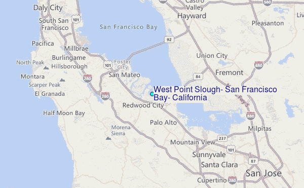
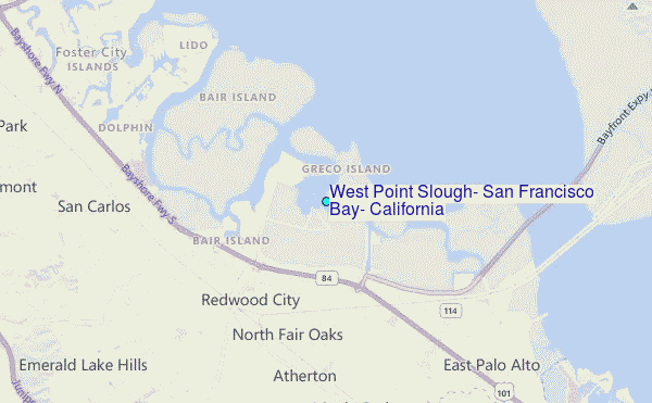
Choose West Point Slough, San Francisco Bay, California Location Map Zoom:
| Contours: | Roads & Rivers: | Select a
tide station / surf break / city |
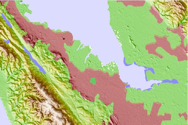
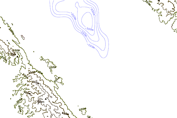
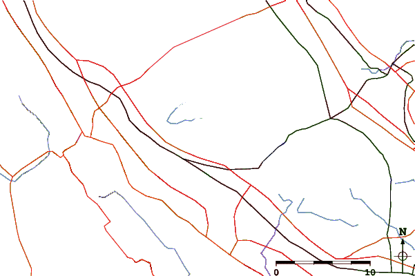
Use this relief map to navigate to tide stations, surf breaks and cities that are in the area of West Point Slough, San Francisco Bay, California.
Other Nearby Locations' tide tables and tide charts to West Point Slough, San Francisco Bay, California:
click location name for more details
 Surf breaks close to West Point Slough, San Francisco Bay, California:
|
||
|---|---|---|
| Closest surf break | Francis Beach | 14 mi |
| Second closest surf break | Princeton Breakwater | 16 mi |
| Third closest surf break | San Gregorio State Beach | 17 mi |
| Fourth closest surf break | Mavericks | 17 mi |
| Fifth closest surf break | Gray Whale Cove | 18 mi |


 Nearest
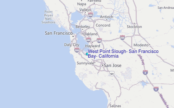