
| Distance / Altitude | Location | Report Date / Time | Live Weather | Wind | Gusts | Temp. | Visibility | Cloud |
|---|---|---|---|---|---|---|---|---|
| 5 km W / 240 m | Cerberus Automatic Weather Station (Australia) | 2025-12-26 10:00 local (2025/12/25 23:00 GMT) | - | - (- km/h at -) | — | - | - - - | |
| 8 km WSW / 27 m | Balnarring (Australia) | 2025-12-26 10:00 local (2025/12/25 23:00 GMT) | dry | calm (0 km/h at 360) | — | - | - - 0 | |
| 12 km SE / 240 m | Rhyll (Australia) | 2025-12-26 10:00 local (2025/12/25 23:00 GMT) | no report | wind obs. (7 kph from 110 degs) was rejected (- km/h at -) | 9°C | - | - - - | |
| 12 km SE / 240 m | Rhyll Automatic Weather Station (Australia) | 2025-12-26 09:00 local (2025/12/25 22:00 GMT) | no report | wind obs. (7 kph from 110 degs) was rejected (- km/h at -) | 9°C | - | - | |
| 17 km WSW / 198 m | Red Hill (Australia) | 2025-12-26 08:22 local (2025/12/25 21:22 GMT) | dry | wind obs. (0 kph from 210 degs) was rejected (- km/h at -) | — | - | - - 0 | |
| 25 km NW / 65 m | Frankston (Australia) | 2025-12-26 09:03 local (2025/12/25 22:03 GMT) | dry | calm (3 km/h at 137) | 15°C | - | - - 0 | |
| 26 km NW / 239 m | Frankston (Australia) | 2025-12-26 10:00 local (2025/12/25 23:00 GMT) | no report | light winds from the S (19 km/h at 170) | — | - | - no observation - | |
| 29 km W / 15 m | SHIP8683 (Marine) | 2025-12-26 08:00 local (2025/12/25 21:00 GMT) | light winds from the NNE (10.8 km/h at 30) | — | - km | |||
| 29 km W / 3 m | SHIP4454 (Marine) | 2025-12-26 08:00 local (2025/12/25 21:00 GMT) | light winds from the NNE (11 km/h at 30) | 13°C | - | |||
| 29 km W / 3 m | SHIP3167 (Marine) | 2025-12-26 08:00 local (2025/12/25 21:00 GMT) | light winds from the NNE (11 km/h at 30) | 13°C | - |
| Contours: | Roads & Rivers: | Select a
tide station / surf break / city |
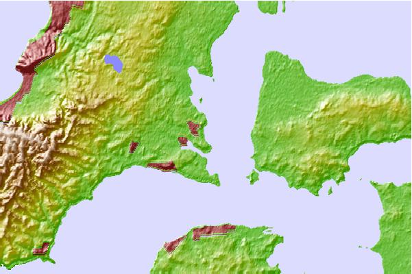
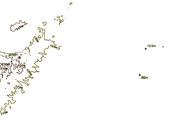
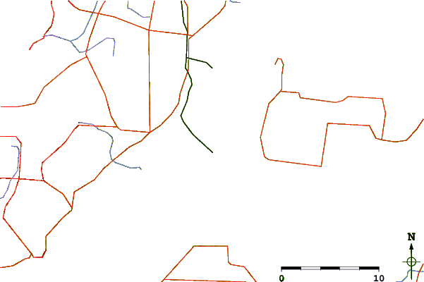
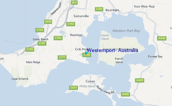
Use this relief map to navigate to tide stations, surf breaks and cities that are in the area of Westernport, Australia.
Other Nearby Locations' tide tables and tide charts to Westernport, Australia:
click location name for more details
 Surf breaks close to Westernport, Australia:
|
||
|---|---|---|
| Closest surf break | Balnarring Point | 6 mi |
| Second closest surf break | Crunchie Pt | 6 mi |
| Third closest surf break | Point Leo | 9 mi |
| Fourth closest surf break | Flynns Reef | 9 mi |
| Fifth closest surf break | Honeysuckle Point | 9 mi |


 Nearest
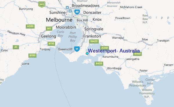