
| Distance / Altitude | Location | Report Date / Time | Live Weather | Wind | Gusts | Temp. | Visibility | Cloud |
|---|---|---|---|---|---|---|---|---|
| 15 km ENE / 3 m | BUOY-BRHC3 (Marine) | 2026-05-19 22:48 local (2026/05/20 02:48 GMT) | - (0 km/h at -) | — | - | |||
| 19 km E / 200 m | Bridgeport Airport (Connecticut) | 2026-05-19 21:52 local (2026/05/20 01:52 GMT) | Clear | light winds from the SW (7 km/h at 230) | 20°C | 14 | ||
| 27 km NW / 218 m | Danbury Airport (Connecticut) | 2026-05-19 21:53 local (2026/05/20 01:53 GMT) | Clear | light winds from the WSW (9 km/h at 250) | 26°C | 16 | ||
| 30 km SW / 218 m | White Plains Airport (New York) | 2026-05-19 21:56 local (2026/05/20 01:56 GMT) | Clear | light winds from the W (9 km/h at 270) | 27°C | 16 | ||
| 37 km SE / 44 m | Terryville (New York) | 2026-05-19 22:32 local (2026/05/20 02:32 GMT) | dry | calm (0 km/h at 328) | 21°C | - | - - 0 | |
| 38 km S / 283 m | Brookhaven Lab Airport (New York) | 2026-05-19 22:35 local (2026/05/20 02:35 GMT) | Clear | wind obs. (11 kph from 160 degs) was rejected (- km/h at -) | 25°C | 16 | ||
| 41 km NNE / 684 m | Oxford/Waterbury Airport (Connecticut) | 2026-05-19 21:56 local (2026/05/20 01:56 GMT) | Clear | light winds from the SSW (6 km/h at 200) | 23°C | 16 | ||
| 41 km ENE / 3 m | BUOY-NWHC3 (Marine) | 2026-05-19 22:48 local (2026/05/20 02:48 GMT) | light winds from the S (13 km/h at 190) | — | - | |||
| 43 km ENE / 218 m | New Haven/Tweed Airport (Connecticut) | 2026-05-19 21:53 local (2026/05/20 01:53 GMT) | Clear | calm (0 km/h at 0) | 19°C | 13 | ||
| 44 km SSE / 218 m | Islip Airport (New York) | 2026-05-19 21:56 local (2026/05/20 01:56 GMT) | Dry and partly cloudy | light winds from the SW (15 km/h at 220) | 21°C | 16 | few scattered |

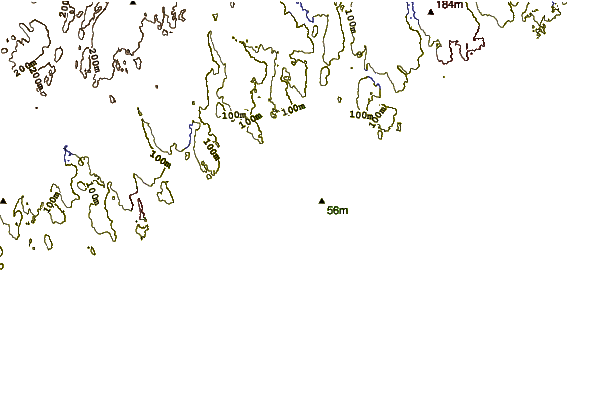
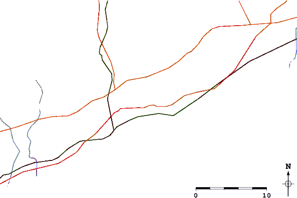
| Contours: | Roads & Rivers: | Select a
tide station / surf break / city |
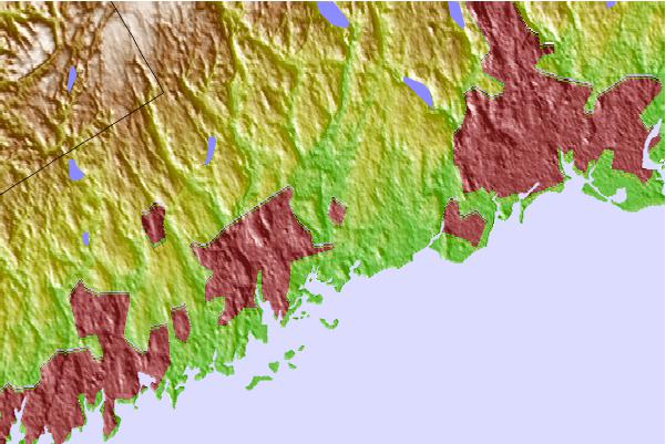
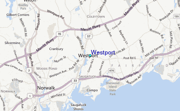
Use this relief map to navigate to tide stations, surf breaks and cities that are in the area of Westport.
Other Nearby Locations' tide tables and tide charts to Westport:
click location name for more details
 Surf breaks close to Westport:
|
||
|---|---|---|
| Closest surf break | Coastguards | 35 mi |
| Second closest surf break | Democrat Point Robert Moses | 36 mi |
| Third closest surf break | Gilgo | 36 mi |
| Fourth closest surf break | Point o Woods | 36 mi |
| Fifth closest surf break | Robert Moses State Park | 36 mi |


 Nearest
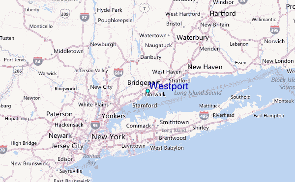