
| Distance / Altitude | Location | Report Date / Time | Live Weather | Wind | Gusts | Temp. | Visibility | Cloud |
|---|---|---|---|---|---|---|---|---|
| 3 km NE / 3 m | Weymouth Waverider (Marine) | 2026-03-04 23:31 local (2026/03/04 23:31 GMT) | - (- km/h at -) | — | - | |||
| 5 km WSW / 3 m | Chesil Waverider (Marine) | 2026-03-04 23:31 local (2026/03/04 23:31 GMT) | - (- km/h at -) | — | - | |||
| 10 km S / 52 m | IsleOFPortland (United Kingdom) | 2026-03-05 01:00 local (2026/03/05 01:00 GMT) | Mist | moderate winds from the E (20 km/h at 90) | 9°C | 3.6 km | - clear - | |
| 23 km W / 3 m | West Bay Waverider (Marine) | 2026-03-05 00:01 local (2026/03/05 00:01 GMT) | - (- km/h at -) | — | - | |||
| 32 km NNE / 243 m | Bell Hill (United Kingdom) | 2026-03-05 01:00 local (2026/03/05 01:00 GMT) | - | light winds from the ESE (15 km/h at 105) | 6°C | - | - - 0 | |
| 43 km NNE / 66 m | Sturminster Newton (United Kingdom) | 2026-03-05 00:26 local (2026/03/05 00:26 GMT) | dry | calm (2 km/h at 314) | 8°C | - | - - 0 | |
| 45 km NW / 215 m | Yeovilton (Navy) Airport (United Kingdom) | 2026-03-05 00:20 local (2026/03/05 00:20 GMT) | Mist - | light winds from the SE (11 km/h at 130) | 6°C | 4.6 | no cloud | |
| 45 km ENE / 3 m | Boscombe Waverider (Marine) | 2026-03-04 23:50 local (2026/03/04 23:50 GMT) | - (- km/h at -) | — | - | |||
| 46 km NW / 20 m | Yeovilton (United Kingdom) | 2026-03-05 01:00 local (2026/03/05 01:00 GMT) | Mist | light winds from the SE (11 km/h at 130) | 7°C | 4.7 km | - clear - | |
| 47 km ENE / 10 m | Bournemouth Airport (United Kingdom) | 2026-03-05 01:00 local (2026/03/05 01:00 GMT) | Mist | calm (2 km/h at 50) | 2°C | 4.3 km | - clear - |
| Contours: | Roads & Rivers: | Select a
tide station / surf break / city |
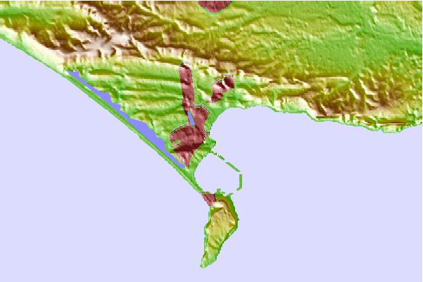
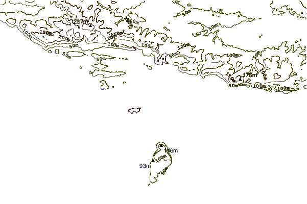
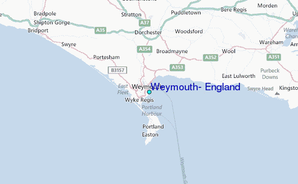
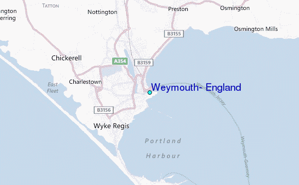
Use this relief map to navigate to tide stations, surf breaks and cities that are in the area of Weymouth, England.
Other Nearby Locations' tide tables and tide charts to Weymouth, England:
click location name for more details
 Surf breaks close to Weymouth, England:
|
||
|---|---|---|
| Closest surf break | Fortuneswell/West Bay | 3 mi |
| Second closest surf break | Ringstead Bay | 5 mi |
| Third closest surf break | Mupe Bay | 9 mi |
| Fourth closest surf break | Kimmeridge (The Ledges) | 14 mi |
| Fifth closest surf break | Kimmeridge Bay | 14 mi |


 Nearest
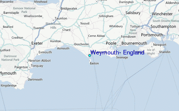