
| Distance / Altitude | Location | Report Date / Time | Live Weather | Wind | Gusts | Temp. | Visibility | Cloud |
|---|---|---|---|---|---|---|---|---|
| 204 km ESE / 267 m | Paekakariki (New Zealand) | 2026-06-25 13:00 local (2026/06/25 01:00 GMT) | - | light winds from the SSW (19 km/h at 205) | 6°C | - | - - 0 | |
| 204 km ESE / 201 m | Wellington International Airport (New Zealand) | 2026-06-25 12:30 local (2026/06/25 00:30 GMT) | Moderate rain | strong winds from the S (46 km/h at 180) | 9°C | 5.0 | few scattered broken | |
| 206 km ESE / 6 m | Kapiti Aeromodellers (New Zealand) | 2026-06-25 13:00 local (2026/06/25 01:00 GMT) | - | fresh winds from the SSE (31 km/h at 166) | 8°C | - | - - 0 | |
| 214 km ESE / 150 m | Baring Head (New Zealand) | 2026-06-25 13:00 local (2026/06/25 01:00 GMT) | - | stormy winds from the SSE (100 km/h at 162) | 7°C | - | - - 0 | |
| 214 km WSW / 0 m | lightning 188km NW of Westport (New Zealand) | 2026-06-25 12:47 local (2026/06/25 00:47 GMT) | Thunderstorm | (- km/h at -) | — | |||
| 240 km E / 5 m | Ohakea Airport (New Zealand) | 2026-06-25 12:30 local (2026/06/25 00:30 GMT) | - | fresh winds from the SE (30 km/h at 130) | 12°C | 10.0 | ||
| 316 km S / 375 m | Springfield (New Zealand) | 2026-06-25 13:00 local (2026/06/25 01:00 GMT) | - | strong winds from the SSW (41 km/h at 199) | 5°C | - | - - 0 | |
| 320 km S / 210 m | Christchurch International Airport (New Zealand) | 2026-06-25 12:30 local (2026/06/25 00:30 GMT) | Light rain | fresh winds from the SW (33 km/h at 220) | 8°C | 10.0 | scattered broken | |
| 334 km S / 220 m | Taylor's Mistake (New Zealand) | 2026-06-25 13:00 local (2026/06/25 01:00 GMT) | - | calm (0 km/h at 74) | 7°C | - | - - 0 | |
| 338 km S / 23 m | Lincoln Broadfield (New Zealand) | 2026-06-25 12:00 local (2026/06/25 00:00 GMT) | no report | wind obs. (19 kph from 40 degs) was rejected (- km/h at -) | 10°C | - | - - - |
| Contours: | Roads & Rivers: | Select a
tide station / surf break / city |
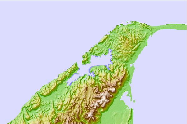
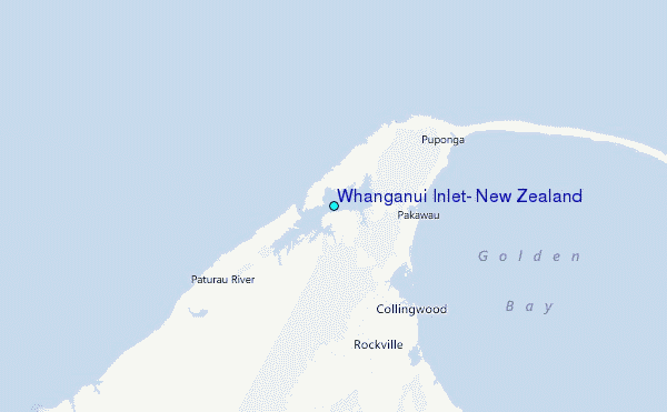
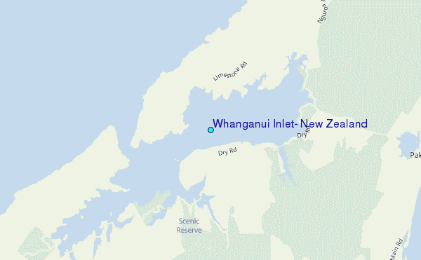
Use this relief map to navigate to tide stations, surf breaks and cities that are in the area of Whanganui Inlet, New Zealand.
Other Nearby Locations' tide tables and tide charts to Whanganui Inlet, New Zealand:
click location name for more details
 Surf breaks close to Whanganui Inlet, New Zealand:
|
||
|---|---|---|
| Closest surf break | Fergusons Beach | 2 mi |
| Second closest surf break | Paturau River | 6 mi |
| Third closest surf break | Wharariki Beach | 7 mi |
| Fourth closest surf break | Fletchers Beach | 9 mi |
| Fifth closest surf break | Farewell Spit | 11 mi |


 Nearest
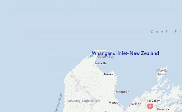