
| Distance / Altitude | Location | Report Date / Time | Live Weather | Wind | Gusts | Temp. | Visibility | Cloud |
|---|---|---|---|---|---|---|---|---|
| 6 km E / 187 m | Hato Air Curacao Airport (Virgin Islands) | 2026-06-17 05:00 local (2026/06/17 09:00 GMT) | - | light winds from the ESE (19 km/h at 120) | 27°C | 10.0 | few | |
| 14 km SSW / 15 m | SHIP3339 (Marine) | 2026-06-17 05:00 local (2026/06/17 09:00 GMT) | - (- km/h at -) | — | - km | |||
| 14 km SE / 1 m | Willemstad wx (Curacao) | 2026-06-17 05:11 local (2026/06/17 09:11 GMT) | dry | wind obs. (3 kph from 296 degs) was rejected (- km/h at -) | 27°C | - | - - 0 | |
| 14 km SE / 1 m | Willemstad wx (Curacao) | 2026-06-17 05:11 local (2026/06/17 09:11 GMT) | dry | wind obs. (3 kph from 296 degs) was rejected (- km/h at -) | 27°C | - | - - 0 | |
| 14 km SSW / 15 m | SHIP1533 (Marine) | 2026-06-17 05:00 local (2026/06/17 09:00 GMT) | - (- km/h at -) | — | - km | |||
| 14 km SSW / 3 m | SHIP2122 (Marine) | 2026-06-17 05:00 local (2026/06/17 09:00 GMT) | - (- km/h at -) | 26°C | - | |||
| 14 km SSW / 3 m | SHIP2124 (Marine) | 2026-06-17 05:00 local (2026/06/17 09:00 GMT) | - (- km/h at -) | 26°C | - | |||
| 14 km SSW / 3 m | SHIP505 (Marine) | 2026-06-17 05:00 local (2026/06/17 09:00 GMT) | - (- km/h at -) | 26°C | - | |||
| 14 km SSW / 15 m | SHIP3340 (Marine) | 2026-06-17 05:00 local (2026/06/17 09:00 GMT) | - (- km/h at -) | — | - km | |||
| 14 km SSW / 3 m | SHIP615 (Marine) | 2026-06-17 05:00 local (2026/06/17 09:00 GMT) | - (- km/h at -) | 26°C | - |
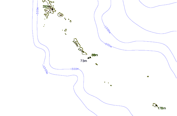
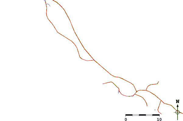
| Contours: | Roads & Rivers: | Select a
tide station / surf break / city |
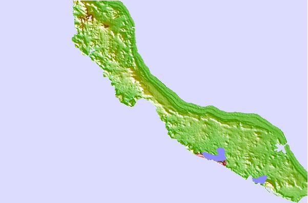
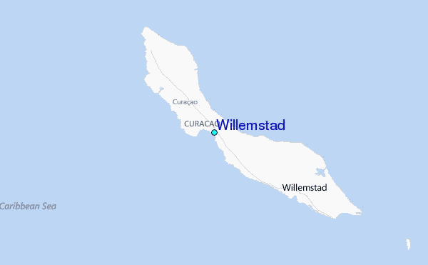
Use this relief map to navigate to tide stations, surf breaks and cities that are in the area of Willemstad.
Other Nearby Locations' tide tables and tide charts to Willemstad:
click location name for more details
 Surf breaks close to Willemstad:
|
||
|---|---|---|
| Closest surf break | Muraya | 60 mi |
| Second closest surf break | Outside Rodger's Beach | 61 mi |
| Third closest surf break | Dos Playa | 64 mi |
| Fourth closest surf break | Andicuri | 67 mi |
| Fifth closest surf break | Shark Bay | 68 mi |


 Nearest
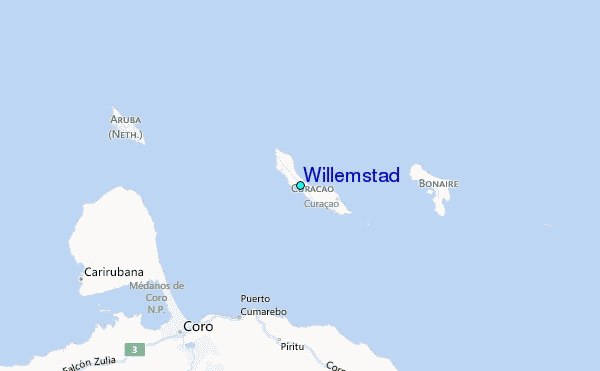