
| Distance / Altitude | Location | Report Date / Time | Live Weather | Wind | Gusts | Temp. | Visibility | Cloud |
|---|---|---|---|---|---|---|---|---|
| 1 km N / 1 m | Willemstad wx (Curacao) | 2026-01-17 14:16 local (2026/01/17 18:16 GMT) | dry | wind obs. (8 kph from 198 degs) was rejected (- km/h at -) | 31°C | - | - - 0 | |
| 4 km E / 15 m | SHIP3252 (Marine) | 2026-01-17 13:00 local (2026/01/17 17:00 GMT) | moderate winds from the E (20.52 km/h at 100) | — | - km | |||
| 12 km NW / 187 m | Hato Air Curacao Airport (Virgin Islands) | 2026-01-17 14:00 local (2026/01/17 18:00 GMT) | - | moderate winds from the E (24 km/h at 100) | 29°C | 10.0 | few | |
| 4 km E / 3 m | SHIP1510 (Marine) | 2026-01-17 13:00 local (2026/01/17 17:00 GMT) | moderate winds from the E (21 km/h at 100) | 29°C | - | |||
| 4 km E / 3 m | SHIP4714 (Marine) | 2026-01-17 14:00 local (2026/01/17 18:00 GMT) | fresh winds from the E (33 km/h at 80) | 28°C | - | |||
| 4 km E / 3 m | SHIP4919 (Marine) | 2026-01-17 14:00 local (2026/01/17 18:00 GMT) | fresh winds from the E (33 km/h at 80) | 28°C | - | |||
| 4 km E / 3 m | SHIP6960 (Marine) | 2026-01-17 13:00 local (2026/01/17 17:00 GMT) | moderate winds from the E (21 km/h at 100) | 29°C | - | |||
| 4 km E / 3 m | SHIP5657 (Marine) | 2026-01-17 13:00 local (2026/01/17 17:00 GMT) | moderate winds from the E (21 km/h at 100) | 29°C | - | |||
| 4 km E / 15 m | SHIP7405 (Marine) | 2026-01-17 14:00 local (2026/01/17 18:00 GMT) | fresh winds from the E (33.480000000000004 km/h at 80) | — | - km | |||
| 4 km E / 15 m | SHIP8730 (Marine) | 2026-01-17 13:00 local (2026/01/17 17:00 GMT) | moderate winds from the E (20.52 km/h at 100) | — | - km |
| Contours: | Roads & Rivers: | Select a
tide station / surf break / city |
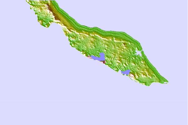
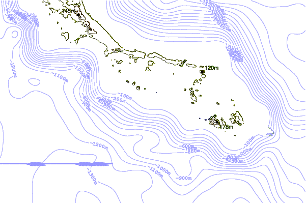
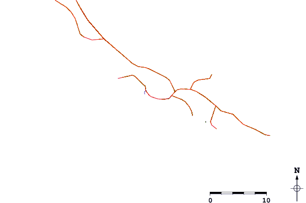
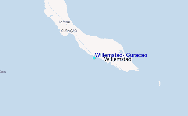
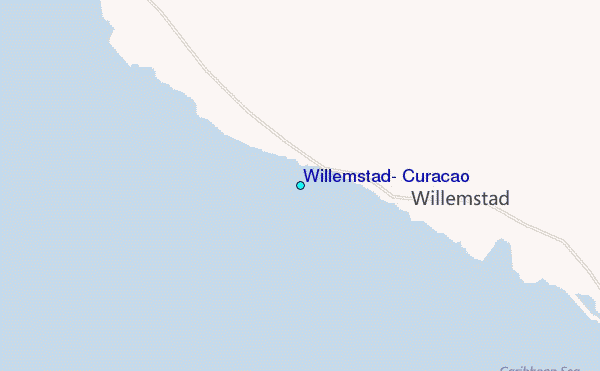
Use this relief map to navigate to tide stations, surf breaks and cities that are in the area of Willemstad, Curacao.
Other Nearby Locations' tide tables and tide charts to Willemstad, Curacao:
click location name for more details
 Surf breaks close to Willemstad, Curacao:
|
||
|---|---|---|
| Closest surf break | Muraya | 67 mi |
| Second closest surf break | Outside Rodger's Beach | 68 mi |
| Third closest surf break | Dos Playa | 72 mi |
| Fourth closest surf break | Andicuri | 75 mi |
| Fifth closest surf break | Shark Bay | 75 mi |


 Nearest
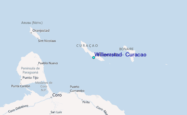