
| Distance / Altitude | Location | Report Date / Time | Live Weather | Wind | Gusts | Temp. | Visibility | Cloud |
|---|---|---|---|---|---|---|---|---|
| 7 km NNE / 31 m | Bellevue Hills (Delaware) | 2024-07-26 20:26 local (2024/07/27 00:26 GMT) | dry | calm (3 km/h at 253) | 25°C | - | - - 0 | |
| 9 km SSW / 216 m | Wilmington Airport (Delaware) | 2024-07-26 19:51 local (2024/07/26 23:51 GMT) | Clear | light winds from the WNW (9 km/h at 290) | 25°C | 16 | ||
| 10 km WNW / 88 m | Greenville (Delaware) | 2024-07-26 21:17 local (2024/07/27 01:17 GMT) | dry | calm (0 km/h at 325) | 22°C | - | - - 0 | |
| 11 km WNW / 300 m | Greenville (Delaware) | 2024-07-26 20:49 local (2024/07/27 00:49 GMT) | dry | calm (0 km/h at 110) | 22°C | - | - - 0 | |
| 11 km NNE / 40 m | Overlook Colony wx (United States) | 2024-07-26 20:38 local (2024/07/27 00:38 GMT) | dry | calm (2 km/h at 293) | 24°C | - | - - 0 | |
| 13 km NE / 3 m | BUOY-MRCP1 (Marine) | 2024-07-26 20:30 local (2024/07/27 00:30 GMT) | - (- km/h at -) | 27°C | - | |||
| 14 km ENE / 6 m | Logan Township (New Jersey) | 2024-07-26 21:13 local (2024/07/27 01:13 GMT) | dry | calm (0 km/h at 50) | 23°C | - | - - 0 | |
| 16 km NW / 96 m | Chadds Ford (Pennsylvania) | 2024-07-26 21:03 local (2024/07/27 01:03 GMT) | dry | calm (0 km/h at ) | 22°C | - | - - 0 | |
| 16 km S / 3 m | BUOY-DELD1 (Marine) | 2024-07-26 20:30 local (2024/07/27 00:30 GMT) | calm (5 km/h at 270) | 25°C | - | |||
| 18 km S / 3 m | BUOY-RDYD1 (Marine) | 2024-07-26 20:30 local (2024/07/27 00:30 GMT) | - (- km/h at -) | 25°C | - |
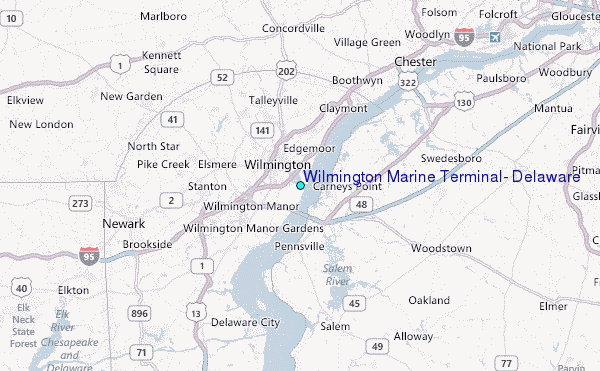
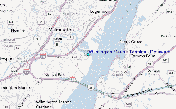
Choose Wilmington Marine Terminal, Delaware Location Map Zoom:
| Contours: | Roads & Rivers: | Select a
tide station / surf break / city |
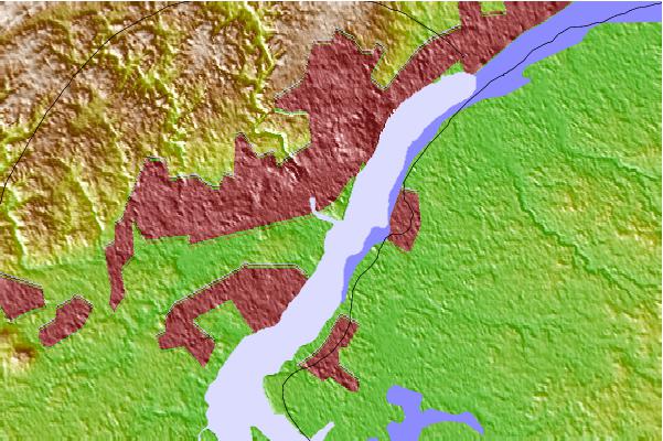
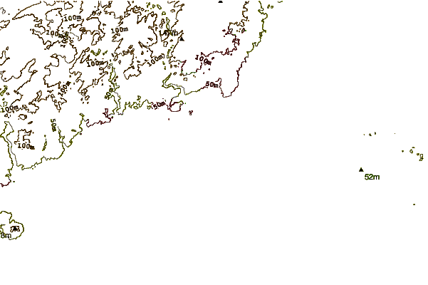
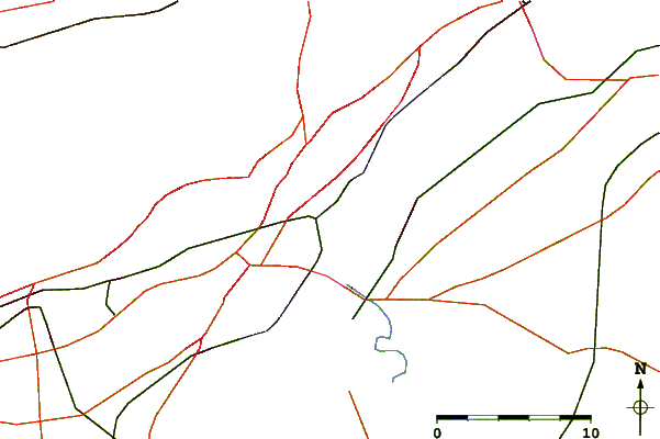
Use this relief map to navigate to tide stations, surf breaks and cities that are in the area of Wilmington Marine Terminal, Delaware.
Other Nearby Locations' tide tables and tide charts to Wilmington Marine Terminal, Delaware:
click location name for more details
 Surf breaks close to Wilmington Marine Terminal, Delaware:
|
||
|---|---|---|
| Closest surf break | Chodes | 58 mi |
| Second closest surf break | 8th Street Jetty | 58 mi |
| Third closest surf break | 57th Street | 58 mi |
| Fourth closest surf break | 55th Street Pier | 58 mi |
| Fifth closest surf break | Strathmere 7th Street | 58 mi |

 Nearest
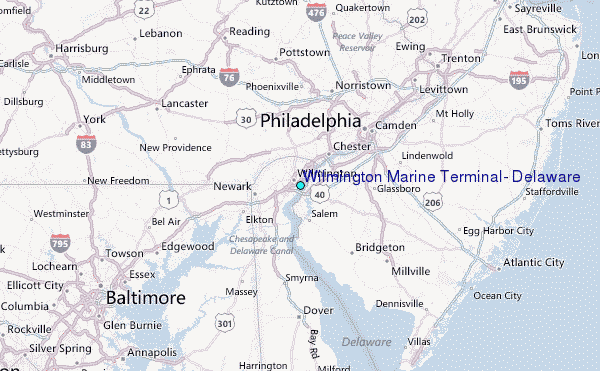