
| Distance / Altitude | Location | Report Date / Time | Live Weather | Wind | Gusts | Temp. | Visibility | Cloud |
|---|---|---|---|---|---|---|---|---|
| 32 km S / 3 m | BUOY-FFIA2 (Marine) | 2026-06-07 16:00 local (2026/06/08 00:00 GMT) | light winds from the NE (15 km/h at 40) | 10°C | - | |||
| 37 km NW / 3 m | BUOY-MIXA2 (Marine) | 2026-06-07 16:32 local (2026/06/08 00:32 GMT) | calm (2 km/h at 300) | 11°C | - | |||
| 65 km WSW / 210 m | Angoon Seaplane Base Airport (United States) | 2026-06-07 14:32 local (2026/06/07 22:32 GMT) | Mist - | wind obs. (6 kph from 340 degs) was rejected (- km/h at -) | 11°C | 8 | few broken overcast | |
| 65 km NW / 3 m | BUOY-GPXA2 (Marine) | 2026-06-07 16:32 local (2026/06/08 00:32 GMT) | light winds from the NNW (9 km/h at 340) | 11°C | - | |||
| 66 km SSE / 3 m | SHIP5354 (Marine) | 2026-06-07 16:00 local (2026/06/08 00:00 GMT) | fresh winds from the SE (32 km/h at 140) | 18°C | - | |||
| 68 km SSE / 15 m | SHIP3221 (Marine) | 2026-06-07 16:00 local (2026/06/08 00:00 GMT) | moderate winds from the SSE (27.720000000000002 km/h at 160) | — | - km | |||
| 70 km S / 215 m | Kake Airport (Alaska) | 2026-06-07 15:40 local (2026/06/07 23:40 GMT) | Dry and cloudy | wind obs. (17 kph from 150 degs) was rejected (- km/h at -) | 13°C | 16 | broken broken overcast | |
| 78 km WSW / 15 m | SHIP7644 (Marine) | 2026-06-07 14:00 local (2026/06/07 22:00 GMT) | calm (5.4 km/h at 40) | — | - km | |||
| 78 km WSW / 15 m | SHIP3408 (Marine) | 2026-06-07 14:00 local (2026/06/07 22:00 GMT) | calm (5.4 km/h at 40) | — | - km | |||
| 78 km WSW / 15 m | SHIP4450 (Marine) | 2026-06-07 14:00 local (2026/06/07 22:00 GMT) | calm (5.4 km/h at 40) | — | - km |
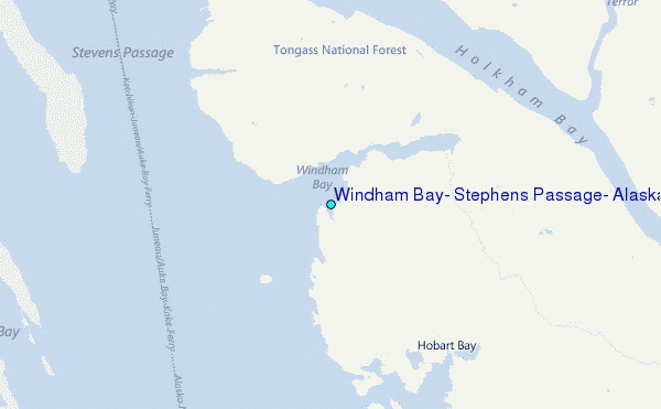
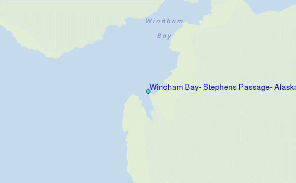
Choose Windham Bay, Stephens Passage, Alaska Location Map Zoom:
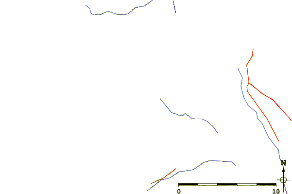
| Contours: | Roads & Rivers: | Select a
tide station / surf break / city |
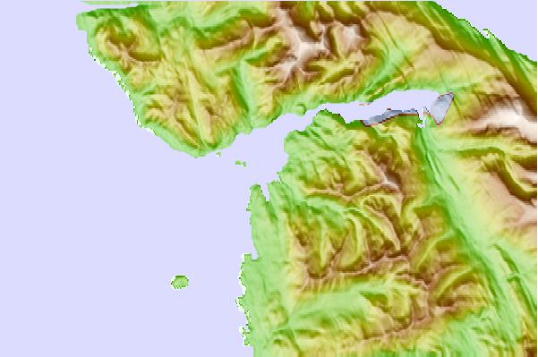
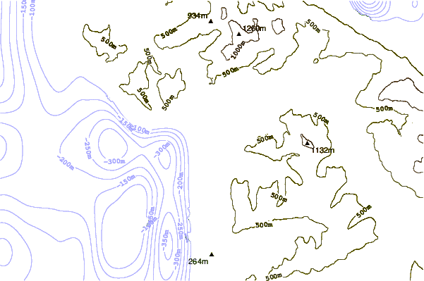
Use this relief map to navigate to tide stations, surf breaks and cities that are in the area of Windham Bay, Stephens Passage, Alaska.
Other Nearby Locations' tide tables and tide charts to Windham Bay, Stephens Passage, Alaska:
click location name for more details
 Surf breaks close to Windham Bay, Stephens Passage, Alaska:
|
||
|---|---|---|
| Closest surf break | Lepus Beach (Haida-Gwaii) | 234 mi |
| Second closest surf break | Tow Hill Beach | 249 mi |
| Third closest surf break | Cannon Beach | 263 mi |
| Fourth closest surf break | Graveyards | 266 mi |
| Fifth closest surf break | Ocean Cape | 268 mi |


 Nearest
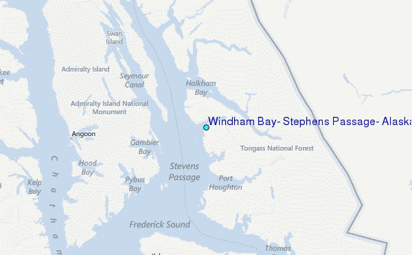