
| Distance / Altitude | Location | Report Date / Time | Live Weather | Wind | Gusts | Temp. | Visibility | Cloud |
|---|---|---|---|---|---|---|---|---|
| 38 km W / 15 m | ASCATB144E8N (Marine) | 2024-07-27 09:27 local (2024/07/26 23:27 GMT) | light winds from the NNW (10 km/h at 348) | — | - km | |||
| 71 km ENE / 15 m | ASCATB145E8N (Marine) | 2024-07-27 09:27 local (2024/07/26 23:27 GMT) | light winds from the NW (13 km/h at 308) | — | - km | |||
| 95 km S / 15 m | ASCATB144E7N (Marine) | 2024-07-27 09:27 local (2024/07/26 23:27 GMT) | light winds from the W (9 km/h at 271) | — | - km | |||
| 118 km SE / 15 m | ASCATB145E7N (Marine) | 2024-07-27 09:27 local (2024/07/26 23:27 GMT) | light winds from the NW (15 km/h at 308) | — | - km | |||
| 135 km NW / 15 m | ASCATB144E9N (Marine) | 2024-07-27 09:27 local (2024/07/26 23:27 GMT) | calm (1 km/h at 31) | — | - km | |||
| 149 km WSW / 15 m | ASCATB143E8N (Marine) | 2024-07-27 09:27 local (2024/07/26 23:27 GMT) | calm (5 km/h at 99) | — | - km | |||
| 150 km NNE / 15 m | ASCATB145E9N (Marine) | 2024-07-27 09:27 local (2024/07/26 23:27 GMT) | light winds from the NNE (13 km/h at 24) | — | - km | |||
| 170 km SW / 15 m | ASCATB143E7N (Marine) | 2024-07-27 09:27 local (2024/07/26 23:27 GMT) | light winds from the ESE (8 km/h at 109) | — | - km | |||
| 185 km E / 15 m | ASCATB146E8N (Marine) | 2024-07-27 09:27 local (2024/07/26 23:27 GMT) | light winds from the NW (14 km/h at 305) | — | - km | |||
| 198 km WNW / 15 m | ASCATB143E9N (Marine) | 2024-07-27 09:27 local (2024/07/26 23:27 GMT) | light winds from the ESE (7 km/h at 116) | — | - km |
| Contours: | Roads & Rivers: | Select a
tide station / surf break / city |
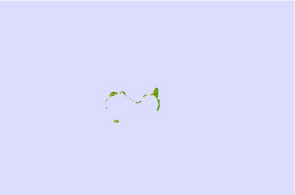
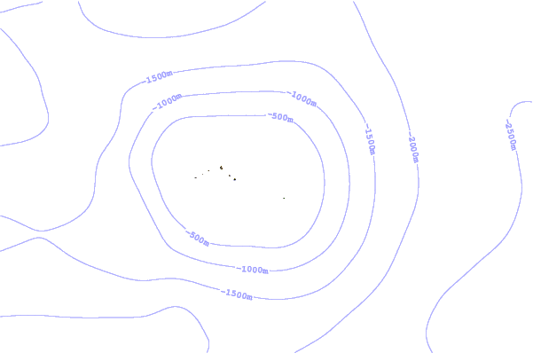
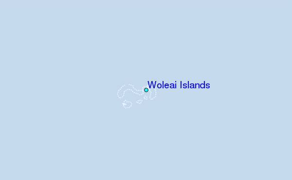
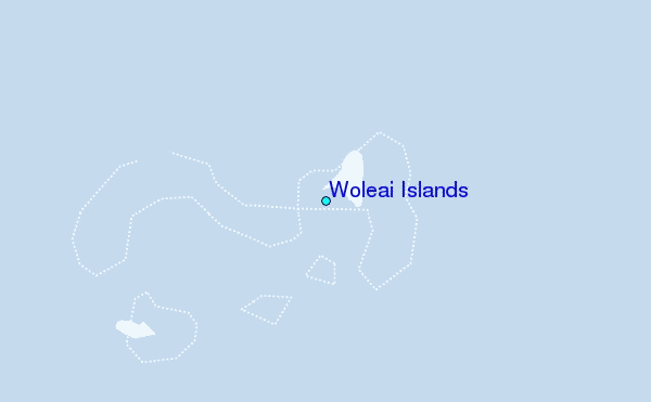
Use this relief map to navigate to tide stations, surf breaks and cities that are in the area of Woleai Islands.
Other Nearby Locations' tide tables and tide charts to Woleai Islands:
click location name for more details
 Surf breaks close to Woleai Islands:
|
||
|---|---|---|
| Closest surf break | Threes | 411 mi |
| Second closest surf break | Tubeys/Point Death | 411 mi |
| Third closest surf break | Umatac | 413 mi |
| Fourth closest surf break | Point Perfection | 416 mi |
| Fifth closest surf break | Talofofo/The Bay | 416 mi |

 Nearest