
| Distance / Altitude | Location | Report Date / Time | Live Weather | Wind | Gusts | Temp. | Visibility | Cloud |
|---|---|---|---|---|---|---|---|---|
| 17 km NE / 20 m | Cape Elizabeth (Maine) | 2026-06-17 06:28 local (2026/06/17 10:28 GMT) | dry | calm (0 km/h at 294) | 14°C | - | - - 0 | |
| 18 km NNE / 12 m | Cape Elizabeth (Maine) | 2026-06-17 06:15 local (2026/06/17 10:15 GMT) | dry | calm (0 km/h at 184) | 13°C | - | - - 0 | |
| 19 km ENE / 3 m | Portland Buoy (Marine) | 2026-06-17 07:20 local (2026/06/17 11:20 GMT) | light winds from the NE (7 km/h at 50) | 14°C | - | |||
| 20 km SSW / 3 m | BUOY-WEXM1 (Marine) | 2026-06-17 07:00 local (2026/06/17 11:00 GMT) | - (0 km/h at -) | 12°C | - | |||
| 22 km NNE / 28 m | South Portland (Maine) | 2026-06-17 06:27 local (2026/06/17 10:27 GMT) | dry | calm (0 km/h at 0) | 13°C | - | - - 0 | |
| 23 km N / 218 m | Portland Airport (Maine) | 2026-06-17 05:51 local (2026/06/17 09:51 GMT) | Dry and partly cloudy | calm (0 km/h at 0) | 12°C | 16 | few broken | |
| 24 km NNE / 130 m | Portland (Maine) | 2026-06-17 07:29 local (2026/06/17 11:29 GMT) | dry | calm (2 km/h at 281) | 17°C | - | - - 0 | |
| 25 km NNE / 3 m | BUOY-CASM1 (Marine) | 2026-06-17 07:00 local (2026/06/17 11:00 GMT) | calm (4 km/h at 180) | 15°C | - | |||
| 29 km N / 13 m | North Deering wx (United States) | 2026-06-17 06:28 local (2026/06/17 10:28 GMT) | dry | calm (0 km/h at 0) | 13°C | - | - - 0 | |
| 31 km SW / 186 m | Sanford Municipal Airport (Maine) | 2026-06-17 05:56 local (2026/06/17 09:56 GMT) | Clear | calm (0 km/h at 0) | 9°C | 16 |
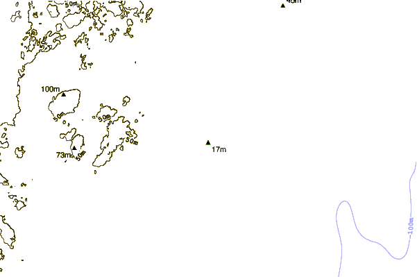
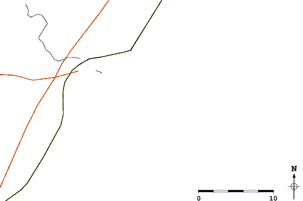
| Contours: | Roads & Rivers: | Select a
tide station / surf break / city |
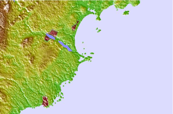
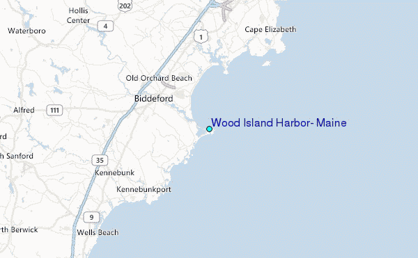
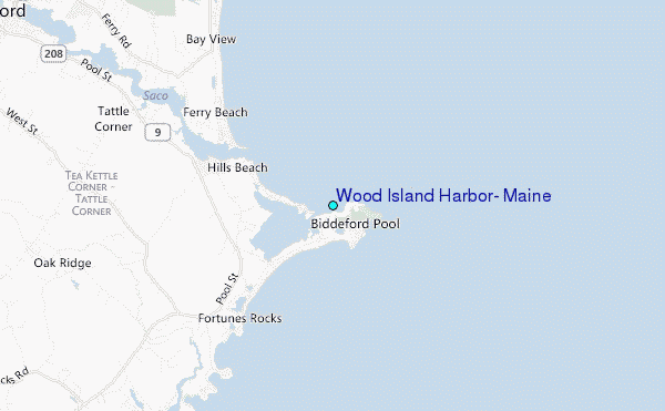
Use this relief map to navigate to tide stations, surf breaks and cities that are in the area of Wood Island Harbor, Maine.
Other Nearby Locations' tide tables and tide charts to Wood Island Harbor, Maine:
click location name for more details
 Surf breaks close to Wood Island Harbor, Maine:
|
||
|---|---|---|
| Closest surf break | Fortunes Rocks Beach | 1 mi |
| Second closest surf break | Old Orchard Beach | 6 mi |
| Third closest surf break | Pine Point | 6 mi |
| Fourth closest surf break | Scarborough Beach | 7 mi |
| Fifth closest surf break | Higgins Beach | 9 mi |


 Nearest
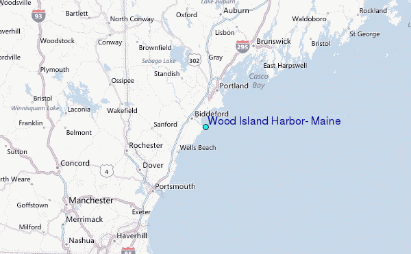