
| Distance / Altitude | Location | Report Date / Time | Live Weather | Wind | Gusts | Temp. | Visibility | Cloud |
|---|---|---|---|---|---|---|---|---|
| 1 km ENE / 12 m | Burnie Airport (Wynyard) (Australia) | 2026-05-10 10:00 local (2026/05/10 00:00 GMT) | no report | light winds from the WNW (7 km/h at 300) | 15°C | - | - no observation - | |
| 18 km ESE / 0 m | Burnie Ntc Aws (Australia) | 2026-05-10 10:00 local (2026/05/10 00:00 GMT) | no report | calm (2 km/h at 170) | 16°C | - | - no observation - | |
| 50 km SW / 344 m | LuncheonHill(Forestry) (Australia) | 2026-05-10 10:00 local (2026/05/10 00:00 GMT) | no report | light winds from the SSE (9 km/h at 150) | 5°C | - | - no observation - | |
| 56 km W / 9 m | Smithton Aerodrome (Australia) | 2026-05-10 10:00 local (2026/05/10 00:00 GMT) | no report | light winds from the S (15 km/h at 180) | 14°C | - | - no observation - | |
| 61 km ESE / 15 m | SHIP3389 (Marine) | 2026-05-10 09:00 local (2026/05/09 23:00 GMT) | - (- km/h at -) | 14°C | - km | |||
| 62 km ESE / 3 m | SHIP4765 (Marine) | 2026-05-10 09:00 local (2026/05/09 23:00 GMT) | - (- km/h at -) | 11°C | - | |||
| 62 km ESE / 15 m | SHIP6349 (Marine) | 2026-05-10 10:00 local (2026/05/10 00:00 GMT) | - (- km/h at -) | 14°C | - km | |||
| 62 km ESE / 15 m | SHIP5474 (Marine) | 2026-05-10 09:00 local (2026/05/09 23:00 GMT) | - (- km/h at -) | 14°C | - km | |||
| 62 km ESE / 3 m | SHIP9032 (Marine) | 2026-05-10 08:00 local (2026/05/09 22:00 GMT) | - (- km/h at -) | 8°C | - | |||
| 62 km ESE / 15 m | SHIP9174 (Marine) | 2026-05-10 08:00 local (2026/05/09 22:00 GMT) | - (- km/h at -) | 14°C | - km |
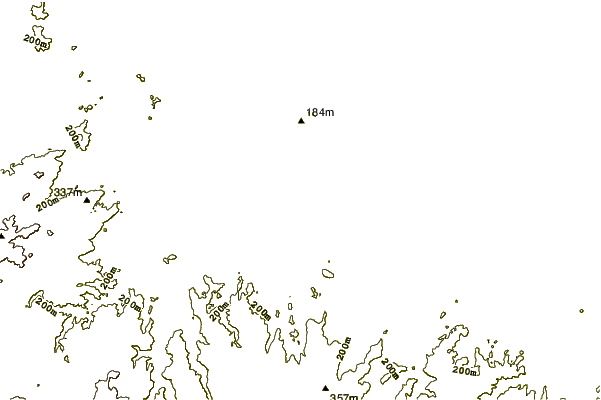
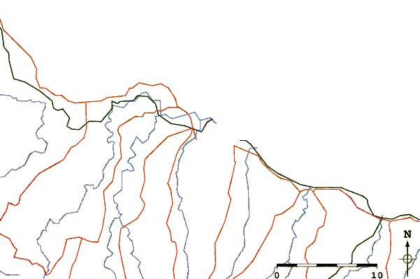
| Contours: | Roads & Rivers: | Select a
tide station / surf break / city |
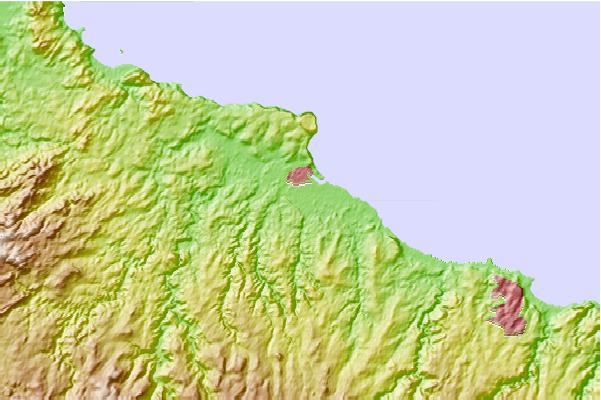
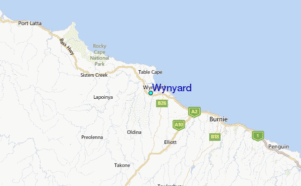
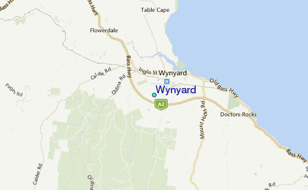
Use this relief map to navigate to tide stations, surf breaks and cities that are in the area of Wynyard.
Other Nearby Locations' tide tables and tide charts to Wynyard:
click location name for more details
 Surf breaks close to Wynyard:
|
||
|---|---|---|
| Closest surf break | Mini Bluff | 18 mi |
| Second closest surf break | Devonport Rivermouth | 35 mi |
| Third closest surf break | Mount Cameron | 54 mi |
| Fourth closest surf break | Church Bay | 55 mi |
| Fifth closest surf break | Greens Point Beach | 56 mi |


 Nearest
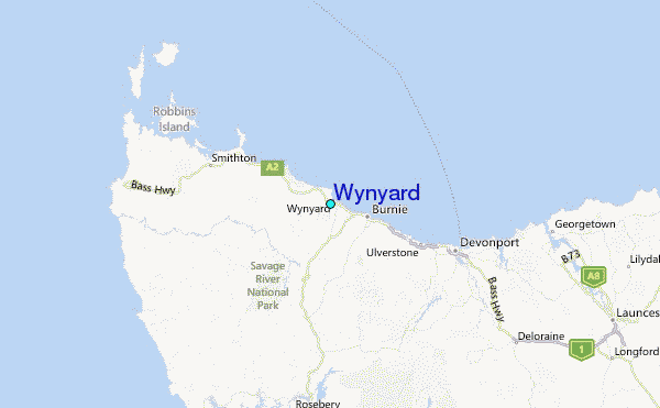