
| Distance / Altitude | Location | Report Date / Time | Live Weather | Wind | Gusts | Temp. | Visibility | Cloud |
|---|---|---|---|---|---|---|---|---|
| 7 km S / 3 m | BUOY-NLHC3 (Marine) | 2026-06-29 20:00 local (2026/06/30 00:00 GMT) | - (- km/h at -) | 26°C | - | |||
| 11 km SSE / 218 m | Groton/New London Airport (Connecticut) | 2026-06-29 18:56 local (2026/06/29 22:56 GMT) | Clear | light winds from the SSW (7 km/h at 200) | 23°C | 16 | ||
| 26 km ESE / 218 m | Westerly Airport (Rhode Island) | 2026-06-29 18:53 local (2026/06/29 22:53 GMT) | Clear | light winds from the WSW (7 km/h at 250) | 26°C | 16 | ||
| 34 km WSW / 219 m | Chester Airport (CT) (United States) | 2026-06-29 19:35 local (2026/06/29 23:35 GMT) | Clear | calm (0 km/h at 0) | 27°C | 16 | ||
| 36 km NW / 218 m | Willimantic Airport (Connecticut) | 2026-06-29 18:52 local (2026/06/29 22:52 GMT) | Dry and partly cloudy | calm (0 km/h at 0) | 29°C | 16 | scattered | |
| 43 km SSE / 202 m | Montauk Airport (New York) | 2026-06-29 18:54 local (2026/06/29 22:54 GMT) | - | wind obs. (7 kph from 1 degs) was rejected (- km/h at -) | 26°C | 0.0 | ||
| 53 km ESE / 211 m | Block Island Airport (Rhode Island) | 2026-06-29 18:56 local (2026/06/29 22:56 GMT) | Dry and partly cloudy | light winds from the WSW (13 km/h at 240) | 24°C | 16 | scattered | |
| 57 km WNW / 218 m | Hartford/Brainard Airport (Connecticut) | 2026-06-29 18:53 local (2026/06/29 22:53 GMT) | Dry and partly cloudy | light winds from the S (11 km/h at 170) | 31°C | 16 | scattered | |
| 60 km ENE / 273 m | Nort Kingston/Quonset State Airport (Rhode Island) | 2026-06-29 19:35 local (2026/06/29 23:35 GMT) | Clear | light winds from the SE (15 km/h at 130) | 24°C | 16 | ||
| 60 km ENE / 3 m | BUOY-PDVR1 (Marine) | 2026-06-29 20:00 local (2026/06/30 00:00 GMT) | light winds from the SE (17 km/h at 130) | 23°C | - |
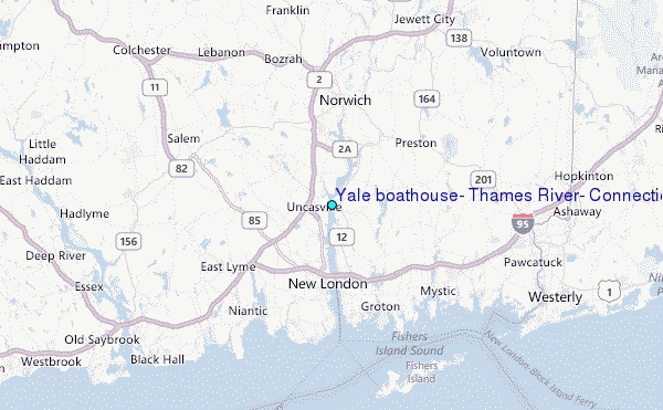
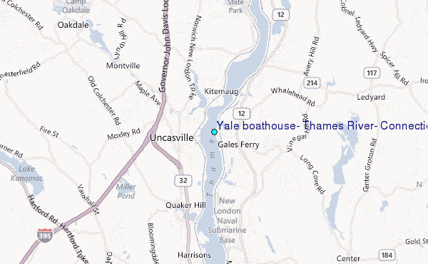
Choose Yale boathouse, Thames River, Connecticut Location Map Zoom:
| Contours: | Roads & Rivers: | Select a
tide station / surf break / city |
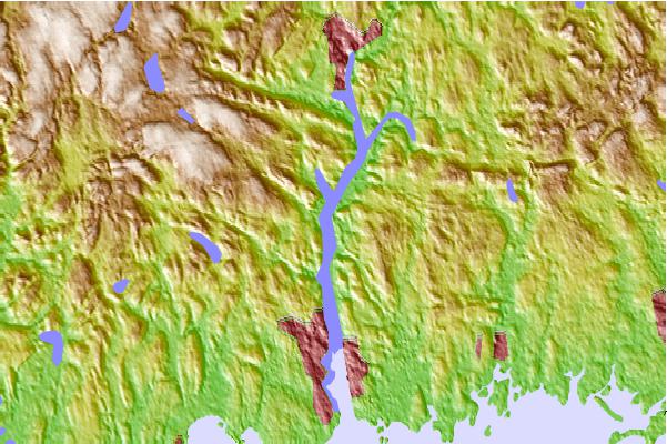
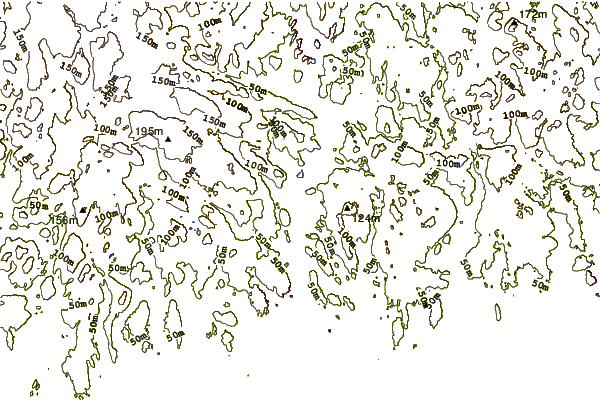
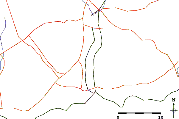
Use this relief map to navigate to tide stations, surf breaks and cities that are in the area of Yale boathouse, Thames River, Connecticut.
Other Nearby Locations' tide tables and tide charts to Yale boathouse, Thames River, Connecticut:
click location name for more details
 Surf breaks close to Yale boathouse, Thames River, Connecticut:
|
||
|---|---|---|
| Closest surf break | Breachway | 14 mi |
| Second closest surf break | Napatree Jetty | 14 mi |
| Third closest surf break | East Beach Lighthouse | 15 mi |
| Fourth closest surf break | Misquamicut State Beach | 17 mi |
| Fifth closest surf break | Fenway Beach | 19 mi |


 Nearest
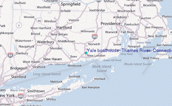