
| Distance / Altitude | Location | Report Date / Time | Live Weather | Wind | Gusts | Temp. | Visibility | Cloud |
|---|---|---|---|---|---|---|---|---|
| 117 km E / 238 m | Choix- Sin. (Mexico) | 2025-12-24 02:00 local (2025/12/24 09:00 GMT) | - | - (- km/h at -) | — | 10 | - | |
| 139 km SSE / 15 m | SHIP3987 (Marine) | 2025-12-24 01:00 local (2025/12/24 08:00 GMT) | - (- km/h at -) | — | - km | |||
| 139 km SSE / 15 m | SHIP10322 (Marine) | 2025-12-24 01:00 local (2025/12/24 08:00 GMT) | - (- km/h at -) | — | - km | |||
| 139 km SSE / 3 m | SHIP10254 (Marine) | 2025-12-24 01:00 local (2025/12/24 08:00 GMT) | - (- km/h at -) | 22°C | - | |||
| 142 km SSE / 15 m | SHIP4972 (Marine) | 2025-12-24 00:00 local (2025/12/24 07:00 GMT) | - (- km/h at -) | — | - km | |||
| 142 km SSE / 3 m | SHIP9249 (Marine) | 2025-12-24 00:00 local (2025/12/24 07:00 GMT) | - (- km/h at -) | 22°C | - | |||
| 142 km SSE / 15 m | SHIP8879 (Marine) | 2025-12-24 00:00 local (2025/12/24 07:00 GMT) | - (- km/h at -) | — | - km | |||
| 142 km SSE / 15 m | SHIP10677 (Marine) | 2025-12-24 00:00 local (2025/12/24 07:00 GMT) | - (- km/h at -) | — | - km | |||
| 142 km SSE / 15 m | SHIP3952 (Marine) | 2025-12-24 00:00 local (2025/12/24 07:00 GMT) | - (- km/h at -) | — | - km | |||
| 175 km S / 15 m | SHIP10528 (Marine) | 2025-12-24 00:00 local (2025/12/24 07:00 GMT) | - (- km/h at -) | — | - km |
| Contours: | Roads & Rivers: | Select a
tide station / surf break / city |
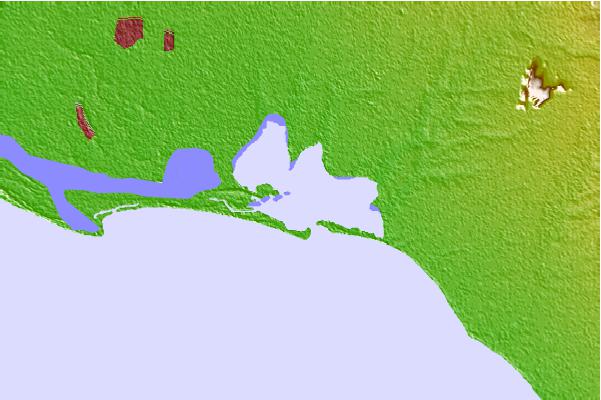
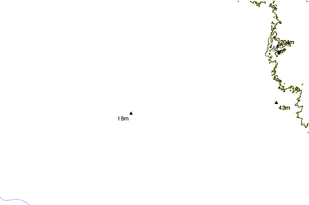
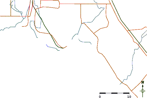
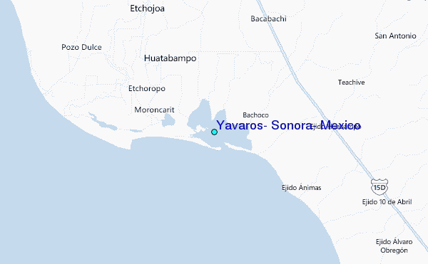
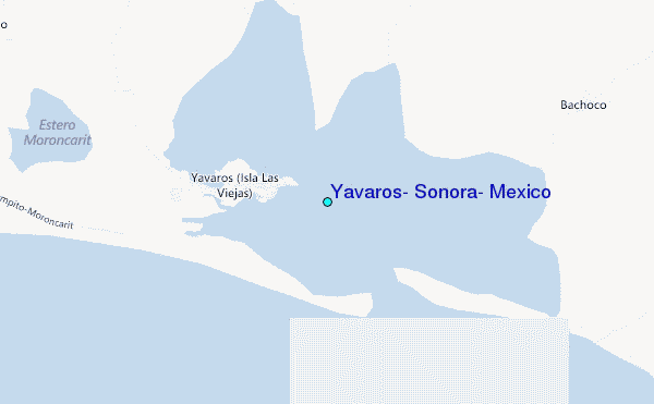
Use this relief map to navigate to tide stations, surf breaks and cities that are in the area of Yavaros, Sonora, Mexico.
Other Nearby Locations' tide tables and tide charts to Yavaros, Sonora, Mexico:
click location name for more details
 Surf breaks close to Yavaros, Sonora, Mexico:
|
||
|---|---|---|
| Closest surf break | Las Barrancas | 174 mi |
| Second closest surf break | San Jorge | 178 mi |
| Third closest surf break | Punta San Gregorio | 180 mi |
| Fourth closest surf break | Scorpion Bay (San Juanico) | 188 mi |
| Fifth closest surf break | La Laguna | 193 mi |


 Nearest
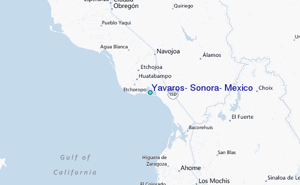