
| Distance / Altitude | Location | Report Date / Time | Live Weather | Wind | Gusts | Temp. | Visibility | Cloud |
|---|---|---|---|---|---|---|---|---|
| 5 km WNW / 3 m | BUOY-SCXA2 (Marine) | 2025-12-25 12:32 local (2025/12/25 21:32 GMT) | light winds from the ESE (18 km/h at 120) | -9°C | - | |||
| 10 km NNE / 772 m | Eaglecrest Ptarmigan Top CW (United States of America) | 2025-12-25 12:01 local (2025/12/25 21:01 GMT) | - | - (- km/h at ) | -14°C | - | - - 0 | |
| 16 km NE / 3 m | BUOY-MXXA2 (Marine) | 2025-12-25 12:32 local (2025/12/25 21:32 GMT) | calm (5 km/h at 70) | -8°C | - | |||
| 16 km NE / 3 m | BUOY-AJXA2 (Marine) | 2025-12-25 12:32 local (2025/12/25 21:32 GMT) | moderate winds from the S (21 km/h at 170) | -7°C | - | |||
| 16 km NE / 3 m | BUOY-SDIA2 (Marine) | 2025-12-25 12:24 local (2025/12/25 21:24 GMT) | light winds from the S (9 km/h at 180) | -7°C | - | |||
| 17 km NE / 3 m | BUOY-JNEA2 (Marine) | 2025-12-25 12:00 local (2025/12/25 21:00 GMT) | calm (5 km/h at 70) | -8°C | - | |||
| 17 km NE / 3 m | SHIP3977 (Marine) | 2025-12-25 11:00 local (2025/12/25 20:00 GMT) | light winds from the ESE (9 km/h at 120) | -8°C | - | |||
| 17 km NE / 15 m | SHIP3262 (Marine) | 2025-12-25 11:00 local (2025/12/25 20:00 GMT) | light winds from the ESE (7.5600000000000005 km/h at 110) | — | - km | |||
| 17 km NE / 15 m | SHIP4334 (Marine) | 2025-12-25 11:00 local (2025/12/25 20:00 GMT) | light winds from the ESE (9.360000000000001 km/h at 120) | — | - km | |||
| 17 km NE / 15 m | SHIP9267 (Marine) | 2025-12-25 10:00 local (2025/12/25 19:00 GMT) | light winds from the ESE (9.360000000000001 km/h at 120) | — | - km |
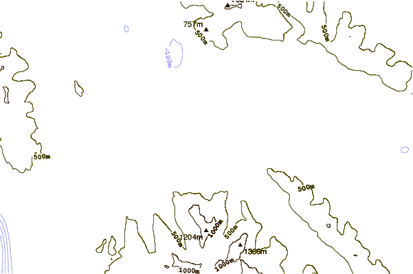
| Contours: | Roads & Rivers: | Select a
tide station / surf break / city |
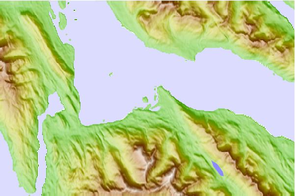
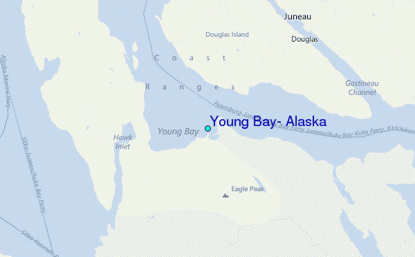
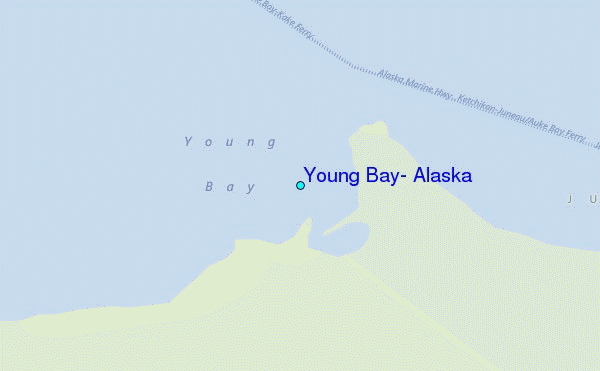
Use this relief map to navigate to tide stations, surf breaks and cities that are in the area of Young Bay, Alaska.
Other Nearby Locations' tide tables and tide charts to Young Bay, Alaska:
click location name for more details
 Surf breaks close to Young Bay, Alaska:
|
||
|---|---|---|
| Closest surf break | Cannon Beach | 206 mi |
| Second closest surf break | Graveyards | 209 mi |
| Third closest surf break | Ocean Cape | 211 mi |
| Fourth closest surf break | Lepus Beach (Haida-Gwaii) | 284 mi |
| Fifth closest surf break | Tow Hill Beach | 303 mi |


 Nearest
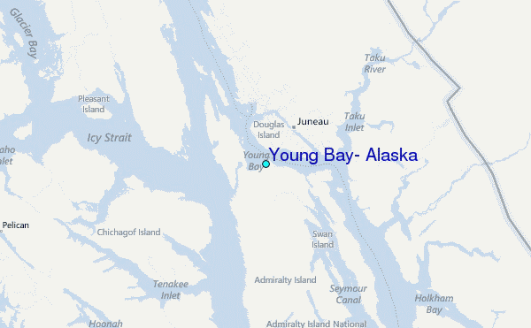