
| Distance / Altitude | Location | Report Date / Time | Live Weather | Wind | Gusts | Temp. | Visibility | Cloud |
|---|---|---|---|---|---|---|---|---|
| 2 km ENE / 211 m | Sinpo (North Korea) | 2025-12-19 00:00 local (2025/12/18 15:00 GMT) | - | calm (0 km/h at 0) | -2°C | 30 km | clear | |
| 53 km SW / 214 m | Hamheung (North Korea) | 2025-12-19 00:00 local (2025/12/18 15:00 GMT) | - | wind obs. (7 kph from 50 degs) was rejected (- km/h at -) | -1°C | 40 km | clear | |
| 86 km W / 1080 m | Changjin (North Korea) | 2025-12-19 00:00 local (2025/12/18 15:00 GMT) | - | calm (0 km/h at 0) | -11°C | 40 km | clear | |
| 87 km N / 1139 m | Pungsan (North Korea) | 2025-12-19 00:00 local (2025/12/18 15:00 GMT) | - | calm (0 km/h at 0) | -11°C | 40 km | clear | |
| 113 km SSW / 213 m | Wonsan (North Korea) | 2025-12-19 00:00 local (2025/12/18 15:00 GMT) | - | calm (4 km/h at 230) | 1°C | 40 km | clear | |
| 114 km NE / 23 m | Kimchaek Songjin (North Korea) | 2025-12-19 00:00 local (2025/12/18 15:00 GMT) | - | calm (0 km/h at 0) | -2°C | 30 km | - clear - | |
| 144 km S / 212 m | Changjon (North Korea) | 2025-12-19 00:00 local (2025/12/18 15:00 GMT) | - | calm (0 km/h at 0) | 3°C | 50 km | clear | |
| 147 km N / 984 m | Changbai (Peoples Republic Of China) | 2025-12-19 00:00 local (2025/12/18 15:00 GMT) | - | - (- km/h at -) | — | 13 | - | |
| 149 km SSW / 212 m | Yangdok (North Korea) | 2025-12-19 00:00 local (2025/12/18 15:00 GMT) | - | calm (4 km/h at 140) | -2°C | 35 km | overcast | |
| 153 km N / 720 m | Hyesan (North Korea) | 2025-12-19 00:00 local (2025/12/18 15:00 GMT) | - | calm (0 km/h at 0) | -13°C | 40 km | clear |
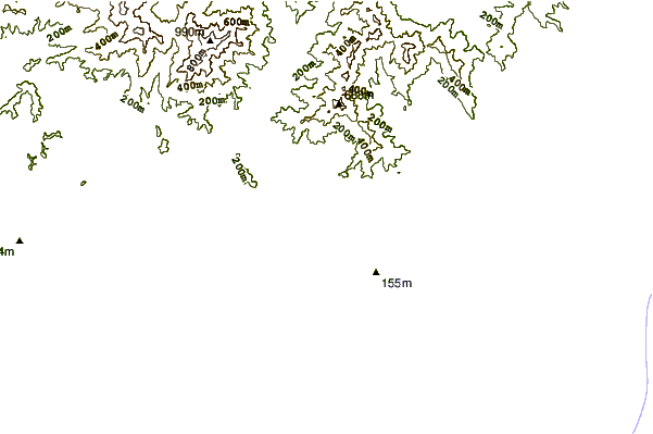
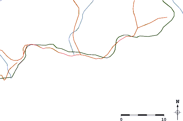
| Contours: | Roads & Rivers: | Select a
tide station / surf break / city |

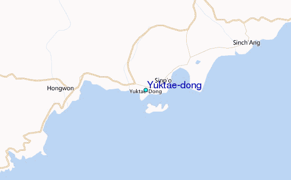
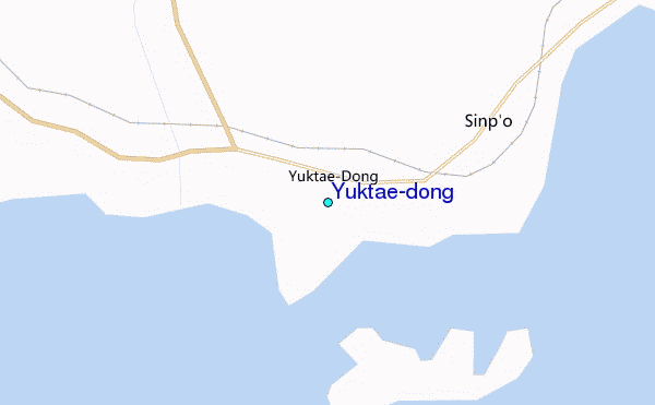
Use this relief map to navigate to tide stations, surf breaks and cities that are in the area of Yuktae-dong.
Other Nearby Locations' tide tables and tide charts to Yuktae-dong:
click location name for more details
 Surf breaks close to Yuktae-dong:
|
||
|---|---|---|
| Closest surf break | Songdojin ni | 99 mi |
| Second closest surf break | 38 Line | 143 mi |
| Third closest surf break | Ingu Beach | 144 mi |
| Fourth closest surf break | Jumunjin | 152 mi |
| Fifth closest surf break | Gyongpo Beach | 158 mi |


 Nearest
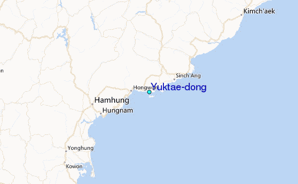