
| Distance / Altitude | Location | Report Date / Time | Live Weather | Wind | Gusts | Temp. | Visibility | Cloud |
|---|---|---|---|---|---|---|---|---|
| 55 km SW / 407 m | Cape Skiring Airport (Senegal) | 2025-12-21 00:00 local (2025/12/21 00:00 GMT) | - | light winds from the N (7 km/h at 360) | — | 0.0 | ||
| 101 km SE / 397 m | Bissau Airport (Guinea-bissau) | 2025-12-21 00:00 local (2025/12/21 00:00 GMT) | Dry and partly cloudy | calm (4 km/h at 1) | 21°C | 7.0 | no significant cloud - - | |
| 104 km NW / 162 m | Banjul/Yundum International Airport (Gambia) | 2025-12-21 00:00 local (2025/12/21 00:00 GMT) | - | light winds from the N (6 km/h at 1) | — | 9.0 | ||
| 145 km ENE / 10 m | Kolda Airport (Senegal) | 2025-12-21 00:00 local (2025/12/21 00:00 GMT) | - | calm (4 km/h at 180) | — | 0.0 | ||
| 175 km N / 7 m | Kaolack Airport (Senegal) | 2025-12-21 00:00 local (2025/12/21 00:00 GMT) | - | light winds from the NE (11 km/h at 40) | — | 0.0 | ||
| 232 km N / 9 m | Diourbel (Senegal) | 2025-12-21 00:00 local (2025/12/21 00:00 GMT) | - | light winds from the NE (7 km/h at 40) | — | 0.0 | - - - | |
| 250 km NW / 89 m | Blaise Diagne International Airport (Senegal) | 2025-12-21 00:30 local (2025/12/21 00:30 GMT) | Dry and partly cloudy | moderate winds from the N (20 km/h at 10) | — | 0.0 | no significant cloud - - | |
| 274 km NW / 219 m | Dakar/Yoff-Léopold Sédar Senghor International Airport (Senegal) | 2025-12-21 00:00 local (2025/12/21 00:00 GMT) | - | light winds from the N (11 km/h at 350) | — | 0.0 | ||
| 312 km ENE / 502 m | Tambacounda Airport (Senegal) | 2025-12-21 00:00 local (2025/12/21 00:00 GMT) | - | light winds from the NNE (11 km/h at 30) | — | 0.0 | ||
| 336 km NNE / 21 m | Linguere Airport (Senegal) | 2025-12-21 00:00 local (2025/12/21 00:00 GMT) | - | light winds from the NNE (7 km/h at 20) | — | 0.0 |
| Contours: | Roads & Rivers: | Select a
tide station / surf break / city |
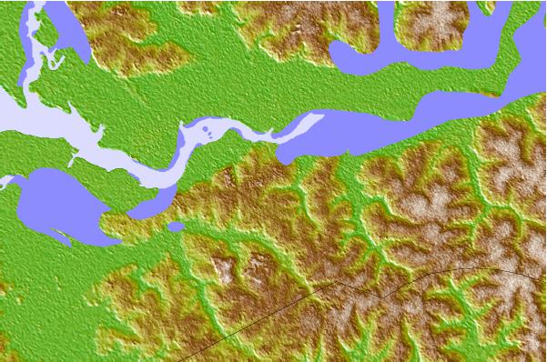

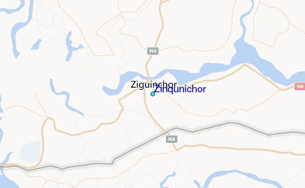
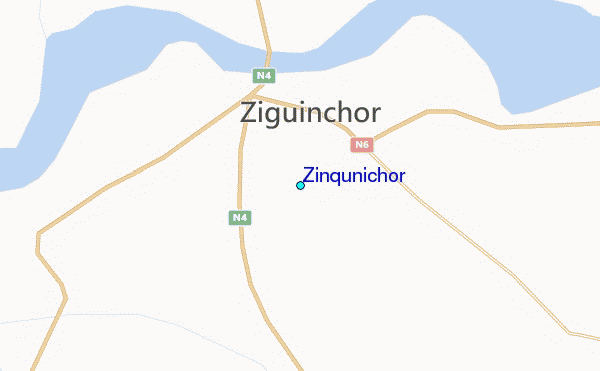
Use this relief map to navigate to tide stations, surf breaks and cities that are in the area of Zinqunichor.
Other Nearby Locations' tide tables and tide charts to Zinqunichor:
click location name for more details
 Surf breaks close to Zinqunichor:
|
||
|---|---|---|
| Closest surf break | Cap Skirring | 34 mi |
| Second closest surf break | Kololi Kotu Kombo | 68 mi |
| Third closest surf break | Senegambia Beach | 69 mi |
| Fourth closest surf break | Baobab (Somone) | 144 mi |
| Fifth closest surf break | Piere de Lisse | 150 mi |


 Nearest
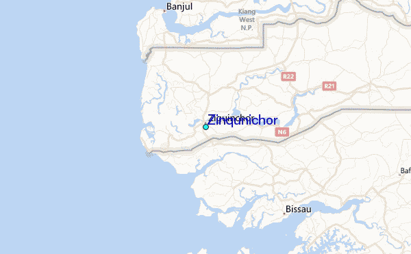