
| Distance / Altitude | Location | Report Date / Time | Live Weather | Wind | Gusts | Temp. | Visibility | Cloud |
|---|---|---|---|---|---|---|---|---|
| 51 km ENE / 194 m | Lagos/ikeja Airport (Nigeria) | 2025-12-26 05:00 local (2025/12/26 04:00 GMT) | Dry and partly cloudy | light winds from the NW (6 km/h at 320) | 26°C | 8.0 | scattered | |
| 58 km WSW / 213 m | Cotonou/Cadjehoun Airport (Benin) | 2025-12-26 05:00 local (2025/12/26 04:00 GMT) | - | light winds from the W (11 km/h at 260) | 28°C | 10.0 | few | |
| 154 km WSW / 32 m | Tabligbo (Togo) | 2025-12-26 04:00 local (2025/12/26 03:00 GMT) | no report | - (- km/h at -) | 26°C | 10 | - | |
| 156 km NE / 66 m | Ibadan Airport (Nigeria) | 2025-12-26 04:00 local (2025/12/26 03:00 GMT) | Dry and partly cloudy | wind obs. (19 kph from 300 degs) was rejected (- km/h at -) | 26°C | 10.0 | scattered | |
| 159 km NE / 51 m | Ibadan (Nigeria) | 2025-12-26 04:00 local (2025/12/26 03:00 GMT) | - | wind obs. (19 kph from 300 degs) was rejected (- km/h at -) | 26°C | 30 km | mostly cloudy | |
| 183 km WSW / 25 m | Lome (Togo) | 2025-12-26 04:00 local (2025/12/26 03:00 GMT) | no report | light winds from the WSW (11 km/h at 240) | 30°C | 10 | - | |
| 183 km WSW / 213 m | Lome/Tokoin Airport (Togo) | 2025-12-26 05:00 local (2025/12/26 04:00 GMT) | - | light winds from the WSW (11 km/h at 250) | 27°C | 10.0 | few | |
| 261 km W / 641 m | Kouma -Konda (Togo) | 2025-12-26 04:00 local (2025/12/26 03:00 GMT) | fog, sky visible, thinning | - (- km/h at -) | 22°C | 700 | - | |
| 283 km ENE / 336 m | Akure Airport (Nigeria) | 2025-12-26 05:00 local (2025/12/26 04:00 GMT) | - | wind obs. (6 kph from 190 degs) was rejected (- km/h at -) | 24°C | 10.0 | few | |
| 284 km ENE / 375 m | Akure (Nigeria) | 2025-12-26 04:00 local (2025/12/26 03:00 GMT) | - | calm (0 km/h at 0) | 24°C | 30 km | mostly cloudy |
| Contours: | Roads & Rivers: | Select a
tide station / surf break / city |
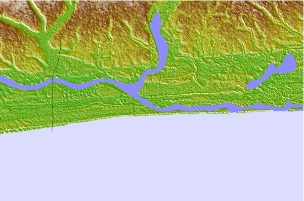
Use this relief map to navigate to tide stations, surf breaks and cities that are in the area of Badagry.
Other Nearby Locations' tide tables and tide charts to Badagry:
click location name for more details
 Surf breaks close to Badagry:
|
||
|---|---|---|
| Closest surf break | Shipwreck | 17 mi |
| Second closest surf break | La Meduse | 31 mi |
| Third closest surf break | Lighthouse Beach | 35 mi |
| Fourth closest surf break | Tarqua Bay | 35 mi |
| Fifth closest surf break | La Routes des Pêches | 38 mi |


 Nearest