
| Distance / Altitude | Location | Report Date / Time | Live Weather | Wind | Gusts | Temp. | Visibility | Cloud |
|---|---|---|---|---|---|---|---|---|
| 48 km ESE / - m | SHIP8434 (ocean) | 2024-05-02 12:01 local (2024/05/02 11:01 GMT) | Clouds developing | light winds from the SSW (9 km/h at 200) | 30°C | 10 km | scattered | |
| 51 km ENE / 194 m | Lagos/ikeja Airport (Nigeria) | 2024-05-02 12:00 local (2024/05/02 11:00 GMT) | - | light winds from the S (19 km/h at 190) | 33°C | 10.0 | few | |
| 58 km WSW / 213 m | Cotonou/Cadjehoun Airport (Benin) | 2024-05-02 12:00 local (2024/05/02 11:00 GMT) | - | light winds from the S.(Wind varies from 120 to 220 degs) (13 km/h at 180) | 33°C | 10.0 | few | |
| 157 km NE / 66 m | Ibadan Airport (Nigeria) | 2024-05-02 12:00 local (2024/05/02 11:00 GMT) | Dry and partly cloudy | light winds from the SSW (13 km/h at 210) | 32°C | 10.0 | scattered | |
| 183 km WSW / 213 m | Lome/Tokoin Airport (Togo) | 2024-05-02 12:00 local (2024/05/02 11:00 GMT) | - | light winds from the SSW.(Wind varies from 150 to 240 degs) (11 km/h at 200) | 32°C | 10.0 | few |
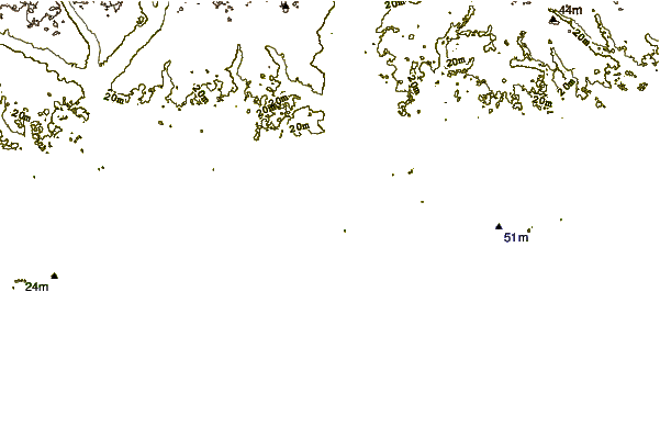
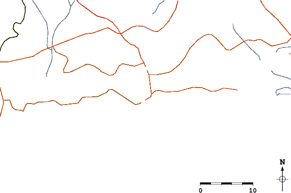
| Contours: | Roads & Rivers: | Select a
tide station / surf break / city |
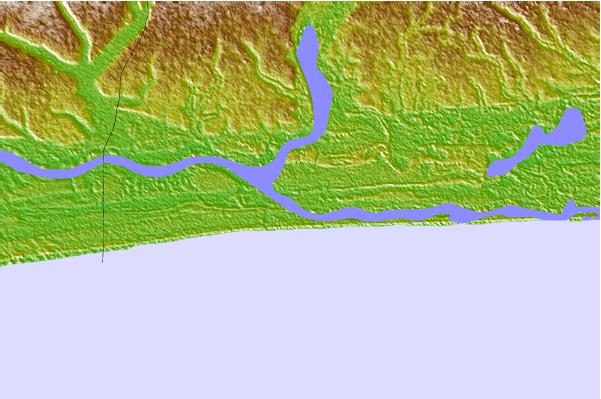
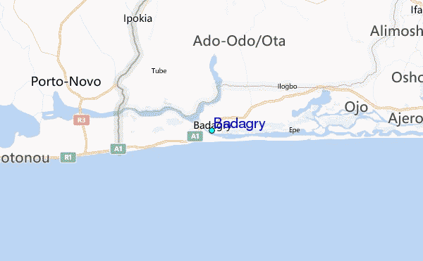
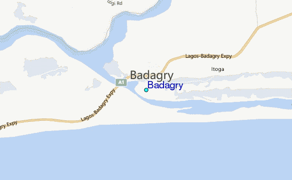
Use this relief map to navigate to tide stations, surf breaks and cities that are in the area of Badagry.
Other Nearby Locations' tide tables and tide charts to Badagry:
click location name for more details
 Surf breaks close to Badagry:
|
||
|---|---|---|
| Closest surf break | Shipwreck | 17 mi |
| Second closest surf break | La Meduse | 31 mi |
| Third closest surf break | Lighthouse Beach | 35 mi |
| Fourth closest surf break | Tarqua Bay | 35 mi |
| Fifth closest surf break | La Routes des Pêches | 38 mi |

 Nearest
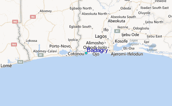