
| Distance / Altitude | Location | Report Date / Time | Live Weather | Wind | Gusts | Temp. | Visibility | Cloud |
|---|---|---|---|---|---|---|---|---|
| 94 km NW / 623 m | lightning 94km NNW of Kendari (Indonesia) | 2025-12-25 18:48 local (2025/12/25 10:48 GMT) | Thunderstorm | (- km/h at -) | — | |||
| 171 km S / 2 m | Bau-BauBetoAmbari (Indonesia) | 2025-12-25 17:00 local (2025/12/25 09:00 GMT) | Continuous light rain | calm (4 km/h at 160) | 29°C | 28 km | overcast | |
| 177 km SSE / 0 m | lightning 94km E of Katabu (Indonesia) | 2025-12-25 16:16 local (2025/12/25 08:16 GMT) | Thunderstorm | (- km/h at -) | — | |||
| 228 km W / 0 m | lightning 93km ENE of Rantepao (Indonesia) | 2025-12-25 16:19 local (2025/12/25 08:19 GMT) | Thunderstorm | (- km/h at -) | — | |||
| 322 km N / 2 m | LuwukBubung (Indonesia) | 2025-12-25 17:00 local (2025/12/25 09:00 GMT) | - | calm (4 km/h at 120) | 30°C | 30 km | - mostly cloudy - | |
| 346 km WNW / 2 m | PosoKasiguncu (Indonesia) | 2025-12-25 17:00 local (2025/12/25 09:00 GMT) | Precipitation within sight but not hitting ground | light winds from the NNW (6 km/h at 340) | 30°C | 27 km | - overcast - | |
| 350 km SW / 14 m | UjungPandangHasanuddin (Indonesia) | 2025-12-25 17:00 local (2025/12/25 09:00 GMT) | State of sky unchanged | wind obs. (6 kph from 40 degs) was rejected (- km/h at -) | 29°C | 30 km | mostly cloudy | |
| 352 km SW / 217 m | Hasanuddin/Ujung Airport (Indonesia) | 2025-12-25 17:30 local (2025/12/25 09:30 GMT) | Dry and partly cloudy | wind obs. (7 kph from 110 degs) was rejected (- km/h at -) | 27°C | 10.0 | few scattered | |
| 420 km W / 217 m | Majene (Indonesia (sulawesi)) | 2025-12-25 17:00 local (2025/12/25 09:00 GMT) | - | wind obs. (6 kph from 260 degs) was rejected (- km/h at -) | 31°C | 32 km | mostly cloudy | |
| 442 km WNW / 6 m | PaluMutiara (Indonesia) | 2025-12-25 17:00 local (2025/12/25 09:00 GMT) | - | wind obs. (17 kph from 10 degs) was rejected (- km/h at -) | 30°C | 30 km | - overcast - |
| Contours: | Roads & Rivers: | Select a
tide station / surf break / city |
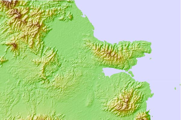
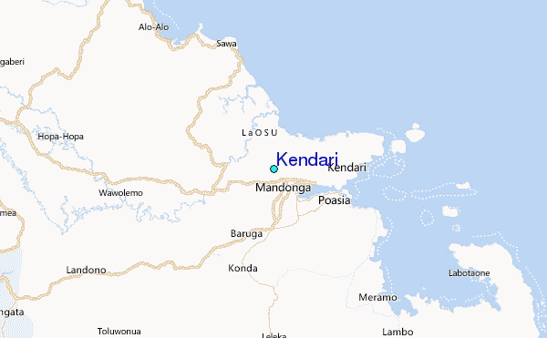
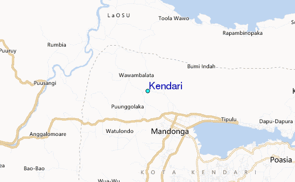
Use this relief map to navigate to tide stations, surf breaks and cities that are in the area of Kendari.
Other Nearby Locations' tide tables and tide charts to Kendari:
click location name for more details
 Surf breaks close to Kendari:
|
||
|---|---|---|
| Closest surf break | Digger | 420 mi |
| Second closest surf break | Periscope Point | 438 mi |
| Third closest surf break | Lakey Peak | 439 mi |
| Fourth closest surf break | Lakey Pipe | 439 mi |
| Fifth closest surf break | Nungas | 439 mi |


 Nearest
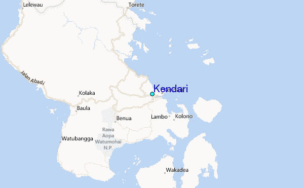