
| Distance / Altitude | Location | Report Date / Time | Live Weather | Wind | Gusts | Temp. | Visibility | Cloud |
|---|---|---|---|---|---|---|---|---|
| 352 km SW / 217 m | Hasanuddin/Ujung Airport (Indonesia) | 2024-05-03 07:30 local (2024/05/02 23:30 GMT) | Dry and partly cloudy | light winds from the ENE (9 km/h at 70) | 25°C | 10.0 | few scattered | |
| 486 km W / 15 m | SHIP9336 (Marine) | 2024-05-03 07:00 local (2024/05/02 23:00 GMT) | fresh winds from the E (35.28 km/h at 90) | 30°C | 17.7 km | |||
| 618 km E / 12 m | Ambon-Pattimura (Indonesia) | 2024-05-03 07:30 local (2024/05/02 23:30 GMT) | - | calm (4 km/h at 1) | 28°C | 10.0 | few | |
| 632 km E / 176 m | Kepala Air wx (Indonesia) | 2024-05-03 08:15 local (2024/05/03 00:15 GMT) | - | calm (0 km/h at 0) | 32°C | - | - - 0 | |
| 633 km E / 1 m | Poka wx (Indonesia) | 2024-05-03 07:39 local (2024/05/02 23:39 GMT) | - | calm (0 km/h at 0) | 30°C | - | - - 0 |
| Contours: | Roads & Rivers: | Select a
tide station / surf break / city |
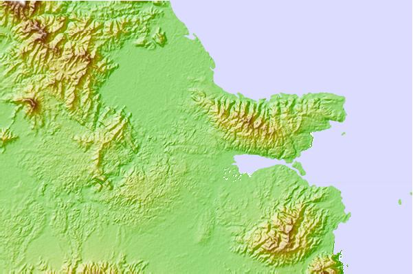
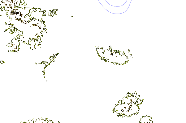
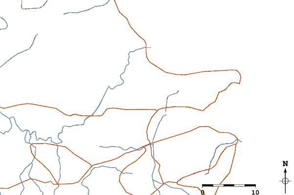
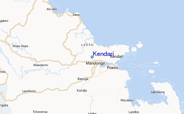
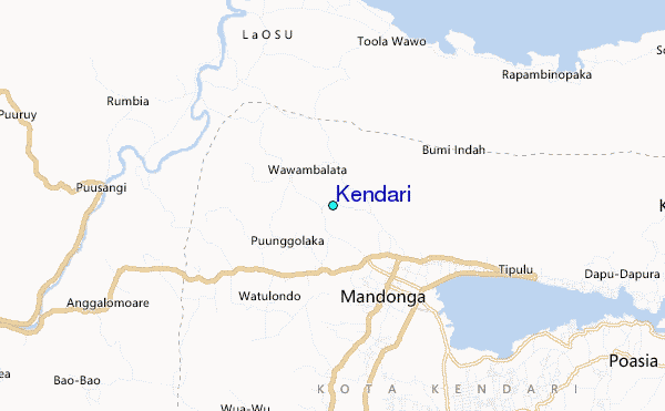
Use this relief map to navigate to tide stations, surf breaks and cities that are in the area of Kendari.
Other Nearby Locations' tide tables and tide charts to Kendari:
click location name for more details
 Surf breaks close to Kendari:
|
||
|---|---|---|
| Closest surf break | Digger | 420 mi |
| Second closest surf break | Periscope Point | 438 mi |
| Third closest surf break | Lakai Peak | 439 mi |
| Fourth closest surf break | Lakai Pipe | 439 mi |
| Fifth closest surf break | Nungas | 439 mi |

 Nearest
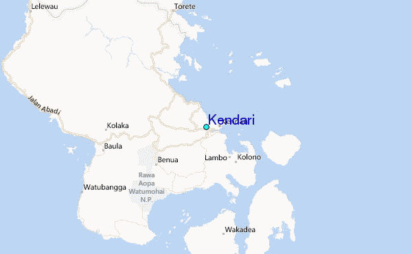