
| Distance / Altitude | Location | Report Date / Time | Live Weather | Wind | Gusts | Temp. | Visibility | Cloud |
|---|---|---|---|---|---|---|---|---|
| 30 km E / 15 m | ASCATB147E7N (Marine) | 2025-12-26 20:49 local (2025/12/26 10:49 GMT) | fresh winds from the ENE (29 km/h at 58) | — | - km | |||
| 49 km WSW / 15 m | ASCATC146E7N (Marine) | 2025-12-26 21:29 local (2025/12/26 11:29 GMT) | moderate winds from the NE (23 km/h at 54) | — | - km | |||
| 85 km WSW / 15 m | ASCATB146E7N (Marine) | 2025-12-26 20:49 local (2025/12/26 10:49 GMT) | moderate winds from the N (27 km/h at 352) | — | - km | |||
| 117 km SSE / 15 m | ASCATB147E6N (Marine) | 2025-12-26 20:48 local (2025/12/26 10:48 GMT) | moderate winds from the N (22 km/h at 5) | — | - km | |||
| 123 km S / 15 m | ASCATB146E6N (Marine) | 2025-12-26 20:48 local (2025/12/26 10:48 GMT) | moderate winds from the E (23 km/h at 79) | — | - km | |||
| 123 km NW / 15 m | ASCATB146E8N (Marine) | 2025-12-26 20:49 local (2025/12/26 10:49 GMT) | moderate winds from the ENE (25 km/h at 66) | — | - km | |||
| 125 km NNE / 15 m | ASCATB147E8N (Marine) | 2025-12-26 20:49 local (2025/12/26 10:49 GMT) | moderate winds from the ENE (27 km/h at 65) | — | - km | |||
| 133 km E / 15 m | ASCATB148E7N (Marine) | 2025-12-26 20:49 local (2025/12/26 10:49 GMT) | moderate winds from the NE (25 km/h at 49) | — | - km | |||
| 135 km NW / 15 m | ASCATC146E8N (Marine) | 2025-12-26 21:29 local (2025/12/26 11:29 GMT) | moderate winds from the ENE (25 km/h at 63) | — | - km | |||
| 139 km SSW / 15 m | ASCATC146E6N (Marine) | 2025-12-26 21:29 local (2025/12/26 11:29 GMT) | moderate winds from the E (22 km/h at 86) | — | - km |
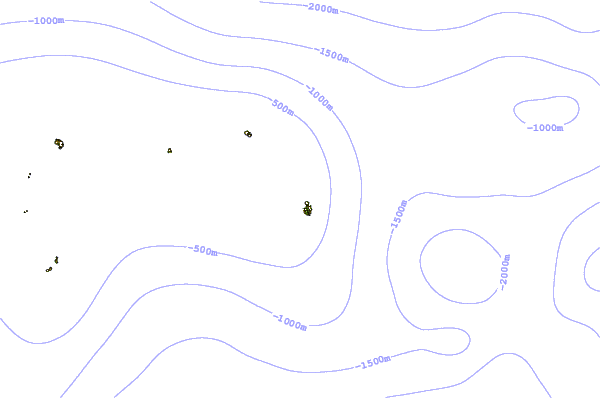
| Contours: | Roads & Rivers: | Select a
tide station / surf break / city |
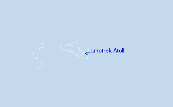
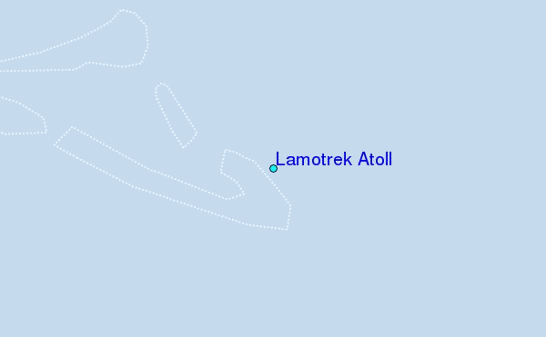
Use this relief map to navigate to tide stations, surf breaks and cities that are in the area of Lamotrek Atoll.
Other Nearby Locations' tide tables and tide charts to Lamotrek Atoll:
click location name for more details
 Surf breaks close to Lamotrek Atoll:
|
||
|---|---|---|
| Closest surf break | Threes | 417 mi |
| Second closest surf break | Tubeys/Point Death | 418 mi |
| Third closest surf break | Umatac | 420 mi |
| Fourth closest surf break | Talofofo/The Bay | 420 mi |
| Fifth closest surf break | Pickop's Point | 421 mi |


 Nearest