
| Distance / Altitude | Location | Report Date / Time | Live Weather | Wind | Gusts | Temp. | Visibility | Cloud |
|---|---|---|---|---|---|---|---|---|
| 522 km SSW / 3 m | SHIP12089 (Marine) | 2024-05-02 08:00 local (2024/05/01 22:00 GMT) | light winds from the E (17 km/h at 90) | 26°C | 9.3 | |||
| 677 km NW / 218 m | Agana- Guam Airport (Guam) | 2024-05-02 06:54 local (2024/05/01 20:54 GMT) | Dry and partly cloudy | light winds from the E (11 km/h at 100) | 26°C | 16 | few scattered scattered | |
| 681 km NW / 73 m | Windward Hills wx (Guam) | 2024-05-02 07:30 local (2024/05/01 21:30 GMT) | dry | light winds from the ENE (6 km/h at 57) | 27°C | - | - - 0 | |
| 685 km NW / 3 m | BUOY-PGBP7 (Marine) | 2024-05-02 07:48 local (2024/05/01 21:48 GMT) | calm (5 km/h at 90) | — | - | |||
| 690 km NW / 3 m | BUOY-APRP7 (Marine) | 2024-05-02 07:48 local (2024/05/01 21:48 GMT) | light winds from the E (11 km/h at 80) | 28°C | - |
| Contours: | Roads & Rivers: | Select a
tide station / surf break / city |
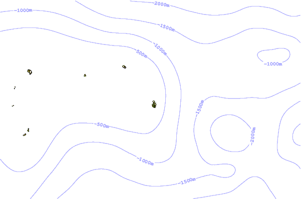

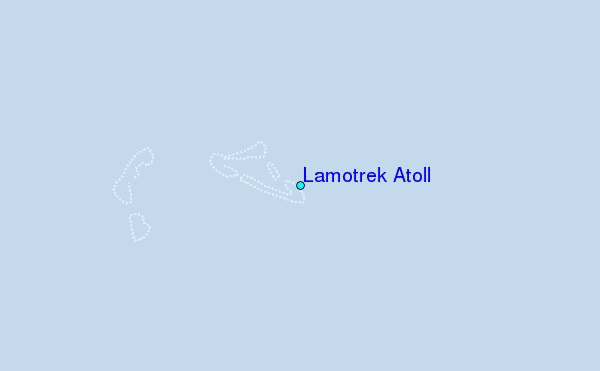
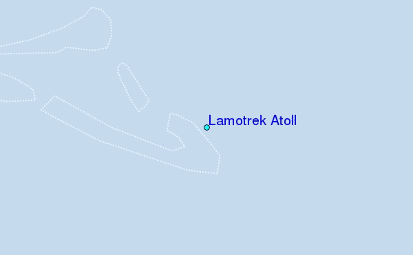
Use this relief map to navigate to tide stations, surf breaks and cities that are in the area of Lamotrek Atoll.
Other Nearby Locations' tide tables and tide charts to Lamotrek Atoll:
click location name for more details
 Surf breaks close to Lamotrek Atoll:
|
||
|---|---|---|
| Closest surf break | Threes | 417 mi |
| Second closest surf break | Tubeys/Point Death | 418 mi |
| Third closest surf break | Umatac | 420 mi |
| Fourth closest surf break | Talofofo/The Bay | 420 mi |
| Fifth closest surf break | Pickop's Point | 421 mi |

 Nearest