
| Distance / Altitude | Location | Report Date / Time | Live Weather | Wind | Gusts | Temp. | Visibility | Cloud |
|---|---|---|---|---|---|---|---|---|
| 19 km W / 50 m | Awg-1 (Netherlands) | 2024-04-26 16:25 local (2024/04/26 14:25 GMT) | Clouds developing | light winds from the WNW (7 km/h at 300) | 8°C | 45 km | broken mostly cloudy - | |
| 22 km NE / 0 m | Huibertgat WP (Netherlands) | 2024-04-26 17:00 local (2024/04/26 15:00 GMT) | no report | light winds from the WNW (14 km/h at 290) | — | - | - no observation - | |
| 24 km SSE / 0 m | Grootegast (Netherlands) | 2024-04-26 17:07 local (2024/04/26 15:07 GMT) | dry | light winds from the WNW (8 km/h at 294) | 12°C | - | - - 0 | |
| 25 km S / 2 m | Noordbergum (Netherlands) | 2024-04-26 17:23 local (2024/04/26 15:23 GMT) | dry | light winds from the WSW (6 km/h at 247) | 11°C | - | - - 0 | |
| 32 km N / 0 m | Lauwersoog Automatic Weather Station (Netherlands) | 2024-04-26 17:00 local (2024/04/26 15:00 GMT) | no report | light winds from the WNW (14 km/h at 300) | 10°C | - | - no observation - |
| Contours: | Roads & Rivers: | Select a
tide station / surf break / city |
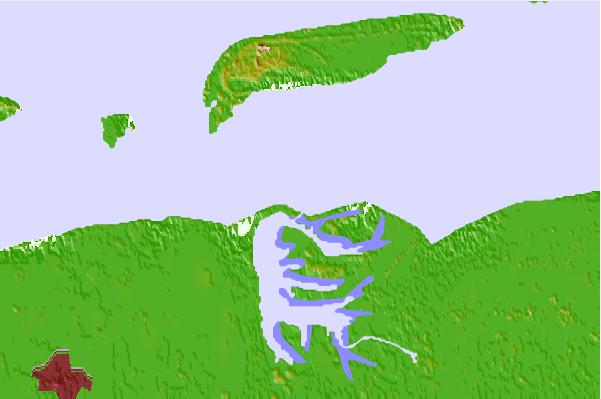

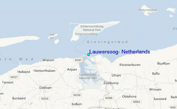
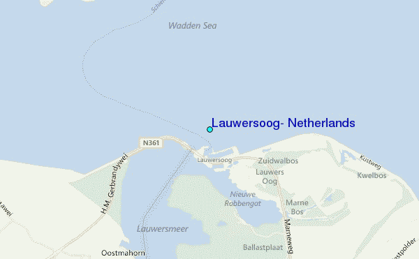
Use this relief map to navigate to tide stations, surf breaks and cities that are in the area of Lauwersoog, Netherlands.
Other Nearby Locations' tide tables and tide charts to Lauwersoog, Netherlands:
click location name for more details
 Surf breaks close to Lauwersoog, Netherlands:
|
||
|---|---|---|
| Closest surf break | Jugendbad | 24 mi |
| Second closest surf break | FKK Stand | 26 mi |
| Third closest surf break | Norderney | 46 mi |
| Fourth closest surf break | Kogerstrand (De Koog) | 63 mi |
| Fifth closest surf break | Texel (Waddeneilanden) | 68 mi |

 Nearest
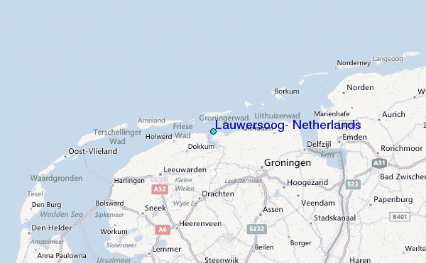