
| Distance / Altitude | Location | Report Date / Time | Live Weather | Wind | Gusts | Temp. | Visibility | Cloud |
|---|---|---|---|---|---|---|---|---|
| 19 km W / 50 m | Awg-1 (Netherlands) | 2024-05-02 04:25 local (2024/05/02 02:25 GMT) | Dry and partly cloudy | strong winds from the E.(Wind varies from 040 to 130 degs) (41 km/h at 90) | 15°C | 10.0 | no significant cloud overcast - | |
| 22 km NE / 0 m | HuibertgatWP (Netherlands) | 2024-05-02 05:00 local (2024/05/02 03:00 GMT) | - | fresh winds from the ENE (32 km/h at 60) | — | - | no observation | |
| 24 km SSE / 0 m | Grootegast (Netherlands) | 2024-05-02 04:08 local (2024/05/02 02:08 GMT) | dry | calm (5 km/h at 71) | 14°C | - | - - 0 | |
| 25 km S / 2 m | Noordbergum (Netherlands) | 2024-05-02 05:11 local (2024/05/02 03:11 GMT) | dry | light winds from the E (6 km/h at 79) | 14°C | - | - - 0 | |
| 32 km N / 0 m | Lauwersoog Automatic Weather Station (Netherlands) | 2024-05-02 05:00 local (2024/05/02 03:00 GMT) | - | fresh winds from the E (29 km/h at 80) | 15°C | - | no observation |
| Contours: | Roads & Rivers: | Select a
tide station / surf break / city |
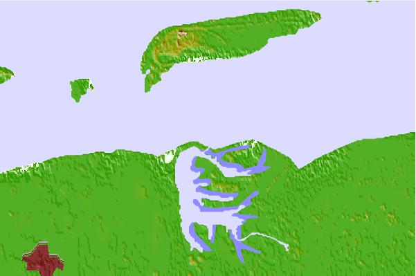

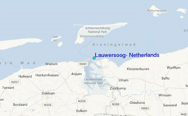
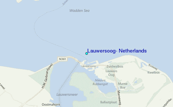
Use this relief map to navigate to tide stations, surf breaks and cities that are in the area of Lauwersoog, Netherlands.
Other Nearby Locations' tide tables and tide charts to Lauwersoog, Netherlands:
click location name for more details
 Surf breaks close to Lauwersoog, Netherlands:
|
||
|---|---|---|
| Closest surf break | Jugendbad | 24 mi |
| Second closest surf break | FKK Stand | 26 mi |
| Third closest surf break | Norderney | 46 mi |
| Fourth closest surf break | Kogerstrand (De Koog) | 63 mi |
| Fifth closest surf break | Texel (Waddeneilanden) | 68 mi |

 Nearest
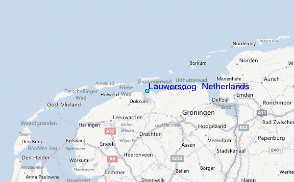