
| Distance / Altitude | Location | Report Date / Time | Live Weather | Wind | Gusts | Temp. | Visibility | Cloud |
|---|---|---|---|---|---|---|---|---|
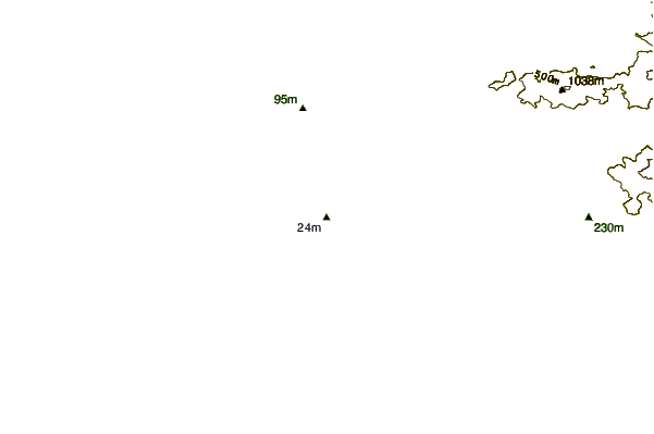
| 24 km N / 76 m | Kannur International Airport (India) | 2025-12-26 02:00 local (2025/12/25 20:30 GMT) | Mist - | light winds from the ENE (11 km/h at 60) | 22°C | 3.0 | few | |
| 57 km SSE / 217 m | Kozhikode (India) | 2025-12-26 02:30 local (2025/12/25 21:00 GMT) | - | calm (0 km/h at 0) | 24°C | 4 km | few | |
| 77 km SE / 104 m | Calicut Airport (India) | 2025-12-26 02:00 local (2025/12/25 20:30 GMT) | Mist - | light winds from the E (7 km/h at 90) | 22°C | 4.0 | few | |
| 152 km NW / 106 m | MangaloreBajpe (India) | 2025-12-26 02:30 local (2025/12/25 21:00 GMT) | Mist | calm (0 km/h at 0) | 22°C | 4 km | - clear - | |
| 157 km NW / 103 m | Mangalore International Airport (Bajpe) (India) | 2025-12-26 02:00 local (2025/12/25 20:30 GMT) | Mist - | calm (0 km/h at 0) | 21°C | 4.0 | no significant cloud | |
| 180 km ESE / 399 m | Coimbatore International Airport-Peelamedu (India) | 2025-12-26 02:00 local (2025/12/25 20:30 GMT) | Mist - | light winds from the N (9 km/h at 350) | 21°C | 3.0 | few scattered broken | |
| 181 km ESE / 400 m | CoimbatorePeelamedu (India) | 2025-12-26 02:30 local (2025/12/25 21:00 GMT) | Mist | light winds from the N (7 km/h at 360) | 21°C | 2 km | - scattered - | |
| 196 km SSE / 8 m | Cochin International (India) | 2025-12-26 02:00 local (2025/12/25 20:30 GMT) | Mist - | wind obs. (7 kph from 80 degs) was rejected (- km/h at -) | 21°C | 4.0 | few | |
| 263 km ENE / 920 m | Balagiri (India) | 2025-12-26 02:30 local (2025/12/25 21:00 GMT) | - | light winds from the NE (7 km/h at 49) | 17°C | - | - - 0 | |
| 267 km ENE / 897 m | Bangalore Airport (India) | 2025-12-26 02:30 local (2025/12/25 21:00 GMT) | No report | light winds from the E (9 km/h at 90) | 17°C | 2 km | no significant cloud no observation - |
| Contours: | Roads & Rivers: | Select a
tide station / surf break / city |
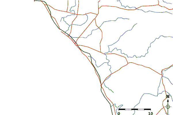
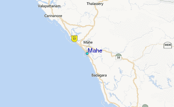
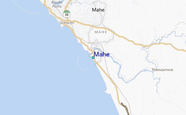
Use this relief map to navigate to tide stations, surf breaks and cities that are in the area of Mahe.
Other Nearby Locations' tide tables and tide charts to Mahe:
click location name for more details
 Surf breaks close to Mahe:
|
||
|---|---|---|
| Closest surf break | Kaup Beach | 118 mi |
| Second closest surf break | Maravanthe Beach | 152 mi |
| Third closest surf break | Murudeshwara Beach | 180 mi |
| Fourth closest surf break | Om Beach (Gokarna) | 211 mi |
| Fifth closest surf break | Kudle -Beach (Gokarna) | 212 mi |


 Nearest
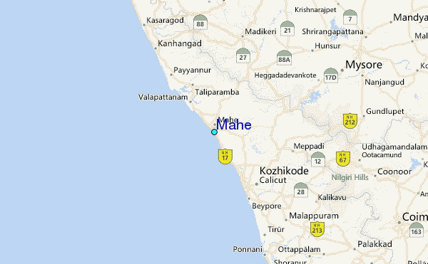