
| Distance / Altitude | Location | Report Date / Time | Live Weather | Wind | Gusts | Temp. | Visibility | Cloud |
|---|---|---|---|---|---|---|---|---|
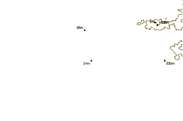
| 24 km N / 76 m | Kannur International Airport (India) | 2024-04-29 14:00 local (2024/04/29 08:30 GMT) | - | light winds from the WNW (19 km/h at 290) | 38°C | 6.0 | few | |
| 26 km WNW / 18 m | Kannur (India) | 2024-04-29 14:30 local (2024/04/29 09:00 GMT) | - | wind obs. (6 kph from 230 degs) was rejected (- km/h at -) | 36°C | 10 km | few | |
| 57 km SSE / 217 m | Kozhikode (India) | 2024-04-29 14:30 local (2024/04/29 09:00 GMT) | - | light winds from the W (6 km/h at 270) | 38°C | 10 km | clear | |
| 77 km SE / 104 m | Calicut Airport (India) | 2024-04-29 14:00 local (2024/04/29 08:30 GMT) | Dry and partly cloudy | moderate winds from the WSW (20 km/h at 250) | 36°C | 6.0 | few scattered | |
| 143 km ENE / 767 m | Mysore (Mandakalli) Airport) (India) | 2024-04-29 14:00 local (2024/04/29 08:30 GMT) | - | light winds from the ENE (17 km/h at 70) | 37°C | 10.0 | few |
| Contours: | Roads & Rivers: | Select a
tide station / surf break / city |
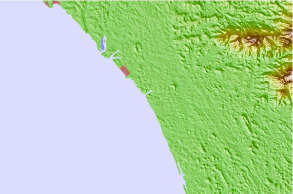
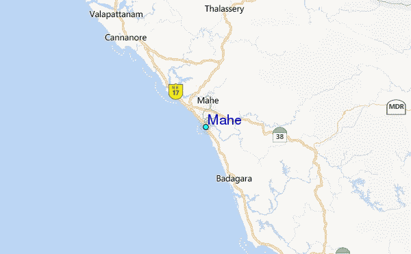
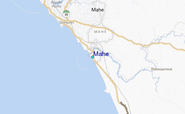
Use this relief map to navigate to tide stations, surf breaks and cities that are in the area of Mahe.
Other Nearby Locations' tide tables and tide charts to Mahe:
click location name for more details
 Surf breaks close to Mahe:
|
||
|---|---|---|
| Closest surf break | Kaup Beach | 118 mi |
| Second closest surf break | Maravanthe Beach | 152 mi |
| Third closest surf break | Murudeshwara Beach | 180 mi |
| Fourth closest surf break | Om Beach (Gokarna) | 211 mi |
| Fifth closest surf break | Kudle -Beach (Gokarna) | 212 mi |

 Nearest
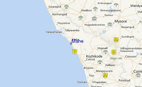