
| Distance / Altitude | Location | Report Date / Time | Live Weather | Wind | Gusts | Temp. | Visibility | Cloud |
|---|---|---|---|---|---|---|---|---|
| 32 km ENE / 22 m | Sucat (Philippines) | 2025-12-18 22:49 local (2025/12/18 14:49 GMT) | dry | light winds from the ENE (11 km/h at 77) | 27°C | - | - - 0 | |
| 33 km NE / 217 m | Ninoy Aquino International Airport (Manila) (Philippines) | 2025-12-18 22:00 local (2025/12/18 14:00 GMT) | Dry and partly cloudy | light winds from the ESE (6 km/h at 110) | 27°C | 10.0 | few scattered - | |
| 33 km NE / 26 m | Paranaque (Philippines) | 2025-12-18 23:10 local (2025/12/18 15:10 GMT) | dry | calm (5 km/h at 46) | 26°C | - | - - 0 | |
| 50 km NE / 26 m | Quezon City (Åland) | 2025-12-18 22:34 local (2025/12/18 14:34 GMT) | dry | calm (0 km/h at 307) | 26°C | - | - - 0 | |
| 76 km WNW / 452 m | Olongapo/Subic Bay Airport (Philippines) | 2025-12-18 22:00 local (2025/12/18 14:00 GMT) | Dry and partly cloudy | light winds from the NE (13 km/h at 50) | 27°C | 10.0 | few broken | |
| 81 km S / 15 m | SHIP2607 (Marine) | 2025-12-18 22:00 local (2025/12/18 14:00 GMT) | fresh winds from the E (36.0 km/h at 90) | 28°C | - km | |||
| 87 km SSE / 15 m | SHIP6926 (Marine) | 2025-12-18 21:00 local (2025/12/18 13:00 GMT) | fresh winds from the E (36.0 km/h at 80) | 28°C | - km | |||
| 87 km SSE / 15 m | SHIP2655 (Marine) | 2025-12-18 21:00 local (2025/12/18 13:00 GMT) | fresh winds from the E (36.0 km/h at 80) | 28°C | - km | |||
| 87 km SSE / 15 m | SHIP3543 (Marine) | 2025-12-18 21:00 local (2025/12/18 13:00 GMT) | fresh winds from the E (36.0 km/h at 80) | 28°C | - km | |||
| 96 km NW / 584 m | Angeles/Pampanga Airport (Philippines) | 2025-12-18 22:00 local (2025/12/18 14:00 GMT) | Dry and partly cloudy | calm (4 km/h at 320) | 26°C | 10.0 | scattered broken |
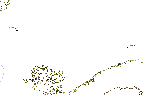
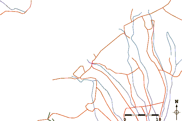
| Contours: | Roads & Rivers: | Select a
tide station / surf break / city |
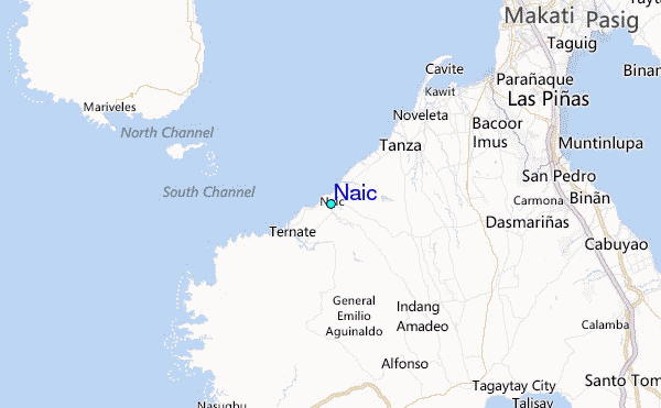
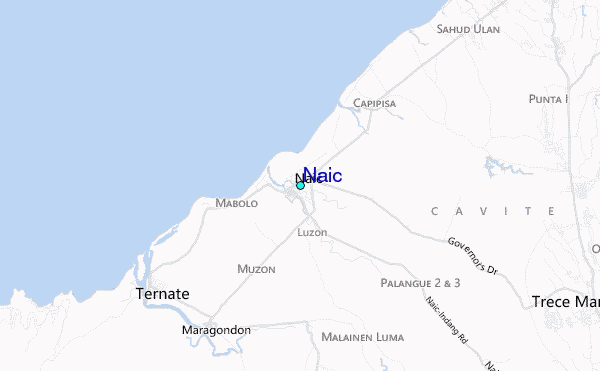
Use this relief map to navigate to tide stations, surf breaks and cities that are in the area of Naic.
Other Nearby Locations' tide tables and tide charts to Naic:
click location name for more details
 Surf breaks close to Naic:
|
||
|---|---|---|
| Closest surf break | Baler - Sabang | 113 mi |
| Second closest surf break | Cobra Reef - Cemento | 114 mi |
| Third closest surf break | Baler - Charlie's Point | 114 mi |
| Fourth closest surf break | Baler - Lindy's Point | 114 mi |
| Fifth closest surf break | Malaking Gasang (Baler) | 124 mi |


 Nearest
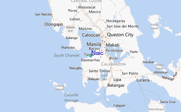