
| Distance / Altitude | Location | Report Date / Time | Live Weather | Wind | Gusts | Temp. | Visibility | Cloud |
|---|---|---|---|---|---|---|---|---|
| 25 km NE / 2 m | Sangley Point (Philippines) | 2024-04-29 21:00 local (2024/04/29 13:00 GMT) | no report | light winds from the E (18 km/h at 90) | 35°C | 10 | - - - | |
| 30 km ENE / 18 m | Muntinlupa wx (Philippines) | 2024-04-29 21:44 local (2024/04/29 13:44 GMT) | dry | light winds from the ESE (13 km/h at 108) | 30°C | - | - - 0 | |
| 33 km NE / 26 m | Paranaque (Philippines) | 2024-04-29 21:42 local (2024/04/29 13:42 GMT) | dry | light winds from the SE (16 km/h at 135) | 30°C | - | - - 0 | |
| 33 km NE / 217 m | Ninoy Aquino International Airport (Manila) (Philippines) | 2024-04-29 20:00 local (2024/04/29 12:00 GMT) | Dry and partly cloudy | light winds from the SE.(Wind varies from 100 to 200 degs) (11 km/h at 140) | 31°C | 10.0 | few scattered broken | |
| 33 km NE / 15 m | Ninoy Aquino International Airport (Philippines) | 2024-04-29 19:00 local (2024/04/29 11:00 GMT) | no report | light winds from the SE (18 km/h at 130) | 34°C | 10 | - few - |
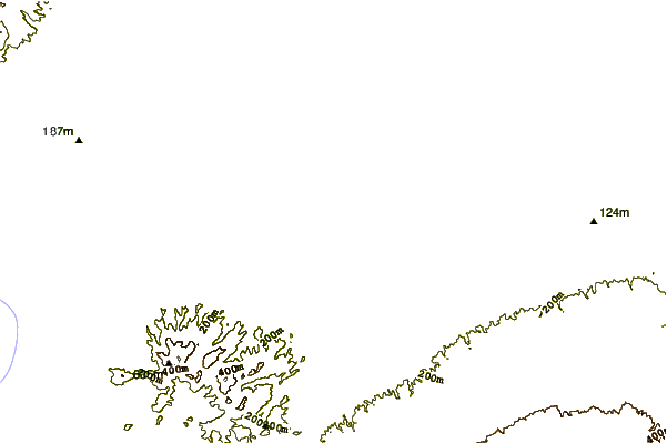
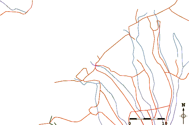
| Contours: | Roads & Rivers: | Select a
tide station / surf break / city |
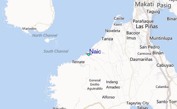
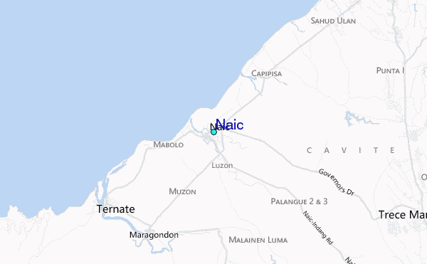
Use this relief map to navigate to tide stations, surf breaks and cities that are in the area of Naic.
Other Nearby Locations' tide tables and tide charts to Naic:
click location name for more details
 Surf breaks close to Naic:
|
||
|---|---|---|
| Closest surf break | Baler - Sabang | 113 mi |
| Second closest surf break | Cobra Reef - Cemento | 114 mi |
| Third closest surf break | Baler - Charlie's Point | 114 mi |
| Fourth closest surf break | Baler - Lindy's Point | 114 mi |
| Fifth closest surf break | Malaking Gasang (Baler) | 124 mi |

 Nearest
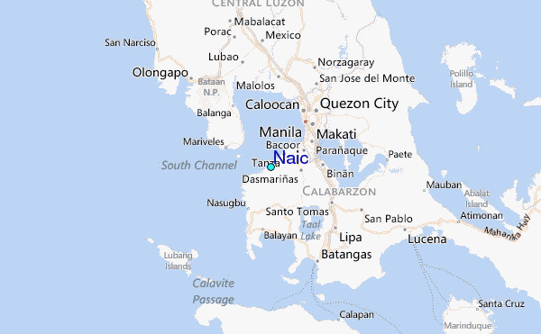