
| Distance / Altitude | Location | Report Date / Time | Live Weather | Wind | Gusts | Temp. | Visibility | Cloud |
|---|---|---|---|---|---|---|---|---|
| 19 km S / 9 m | Laoag (Philippines) | 2025-12-26 05:00 local (2025/12/25 21:00 GMT) | light rain showers | wind obs. (7 kph from 110 degs) was rejected (- km/h at -) | 29°C | 8 | - | |
| 21 km S / 344 m | Laoag International Airport (Philippines) | 2025-12-26 04:00 local (2025/12/25 20:00 GMT) | - | light winds from the NNE (17 km/h at 30) | 24°C | 10.0 | few - - | |
| 52 km S / 49 m | Sinait Synoptic Station (Philippines) | 2025-12-26 05:00 local (2025/12/25 21:00 GMT) | - | - (- km/h at -) | — | 15 | - | |
| 87 km S / 5 m | Rugsuanan wx (Philippines) | 2025-12-26 05:45 local (2025/12/25 21:45 GMT) | - | - (- km/h at ) | 27°C | - | - - 0 | |
| 107 km E / 3 m | Aparri (Philippines) | 2025-12-26 05:00 local (2025/12/25 21:00 GMT) | - | light winds from the ENE (7 km/h at 60) | — | 20 | - | |
| 136 km NE / 13 m | Calayan (Philippines) | 2025-12-26 05:00 local (2025/12/25 21:00 GMT) | - | wind obs. (14 kph from 120 degs) was rejected (- km/h at -) | — | 25 | - | |
| 142 km SE / 213 m | Tuguegarao (Philippines) | 2025-12-26 05:00 local (2025/12/25 21:00 GMT) | - | calm (4 km/h at 190) | — | 10 | - | |
| 213 km S / 1501 m | Baguio (Philippines) | 2025-12-26 05:00 local (2025/12/25 21:00 GMT) | Fog at a distance | wind obs. (7 kph from 160 degs) was rejected (- km/h at -) | 22°C | 13 | - | |
| 254 km S / 219 m | Dagupan (Philippines) | 2025-12-26 05:00 local (2025/12/25 21:00 GMT) | - | light winds from the SSE (7 km/h at 160) | — | 12 | - | |
| 271 km NNE / 167 m | Basco Radar (Philippines) | 2025-12-26 05:00 local (2025/12/25 21:00 GMT) | - | wind obs. (18 kph from 160 degs) was rejected (- km/h at -) | — | 30 | - |
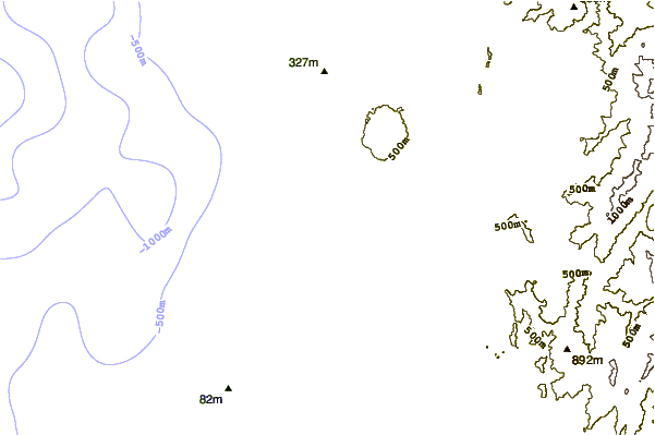
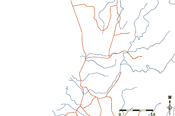
| Contours: | Roads & Rivers: | Select a
tide station / surf break / city |
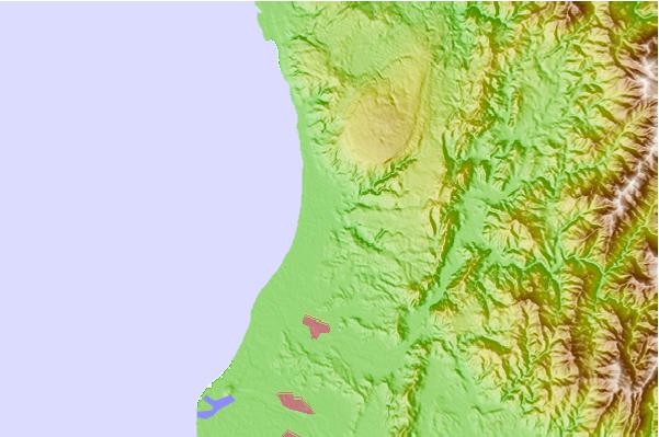
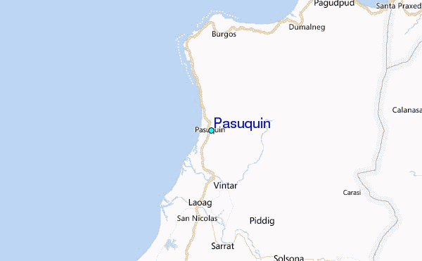
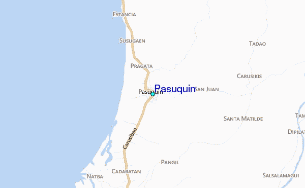
Use this relief map to navigate to tide stations, surf breaks and cities that are in the area of Pasuquin.
Other Nearby Locations' tide tables and tide charts to Pasuquin:
click location name for more details
 Surf breaks close to Pasuquin:
|
||
|---|---|---|
| Closest surf break | Star Tubes | 30 mi |
| Second closest surf break | Badoc Point | 30 mi |
| Third closest surf break | Badoc Island Lefts | 31 mi |
| Fourth closest surf break | Turtle Head | 32 mi |
| Fifth closest surf break | Puro Pinget | 47 mi |


 Nearest
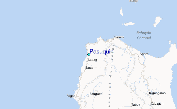