
| Distance / Altitude | Location | Report Date / Time | Live Weather | Wind | Gusts | Temp. | Visibility | Cloud |
|---|---|---|---|---|---|---|---|---|
| 19 km S / 9 m | Laoag (Philippines) | 2024-04-29 08:00 local (2024/04/29 00:00 GMT) | haze | calm (4 km/h at 40) | 31°C | 10 | - - - | |
| 21 km S / 344 m | Laoag International Airport (Philippines) | 2024-04-29 08:00 local (2024/04/29 00:00 GMT) | - | light winds from the NNE.(Wind varies from 350 to 080 degs) (6 km/h at 30) | 32°C | 10.0 | few | |
| 21 km S / 344 m | Laoag International Airport/Paliparang Pandaigdig ng Laoag (Philippines) | 2024-04-29 08:00 local (2024/04/29 00:00 GMT) | - | light winds from the NNE.(Wind varies from 350 to 080 degs) (6 km/h at 30) | 32°C | 10.0 | few | |
| 52 km S / 49 m | Sinait Synoptic Station (Philippines) | 2024-04-29 08:00 local (2024/04/29 00:00 GMT) | no report | calm (4 km/h at 40) | 28°C | 15 | - | |
| 71 km NW / 3 m | SHIP10644 (Marine) | 2024-04-29 08:00 local (2024/04/29 00:00 GMT) | - (- km/h at -) | 32°C | - |
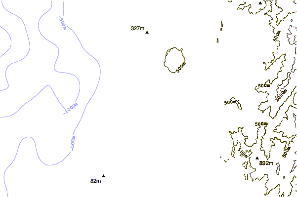
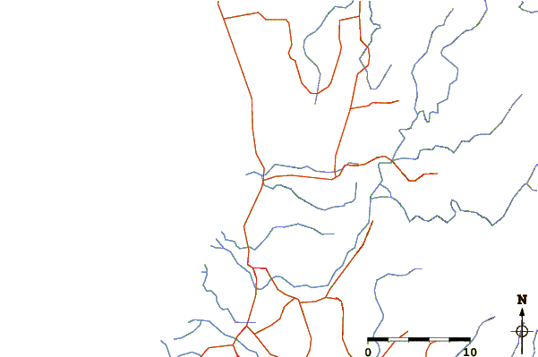
| Contours: | Roads & Rivers: | Select a
tide station / surf break / city |
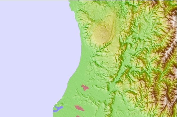
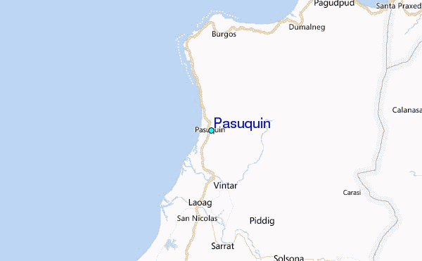
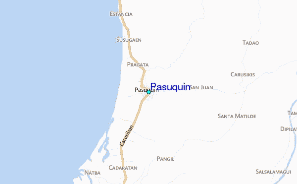
Use this relief map to navigate to tide stations, surf breaks and cities that are in the area of Pasuquin.
Other Nearby Locations' tide tables and tide charts to Pasuquin:
click location name for more details
 Surf breaks close to Pasuquin:
|
||
|---|---|---|
| Closest surf break | Star Tubes | 30 mi |
| Second closest surf break | Badoc Point | 30 mi |
| Third closest surf break | Badoc Island Lefts | 31 mi |
| Fourth closest surf break | Turtle Head | 32 mi |
| Fifth closest surf break | Puro Pinget | 47 mi |

 Nearest
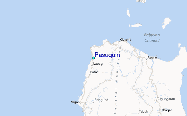