
| Distance / Altitude | Location | Report Date / Time | Live Weather | Wind | Gusts | Temp. | Visibility | Cloud |
|---|---|---|---|---|---|---|---|---|
| 41 km NW / 96 m | TanjungKarangRadinInten II (Indonesia) | 2024-05-08 22:00 local (2024/05/08 15:00 GMT) | Mist | calm (0 km/h at 0) | 27°C | 3.0 km | mostly cloudy | |
| 94 km S / 15 m | ASCATB105E6S (Marine) | 2024-05-08 21:45 local (2024/05/08 14:45 GMT) | light winds from the ENE (10 km/h at 74) | — | - km | |||
| 100 km E / 15 m | ASCATB106E6S (Marine) | 2024-05-08 21:45 local (2024/05/08 14:45 GMT) | calm (5 km/h at 356) | — | - km | |||
| 117 km SE / 210 m | Serang (Indonesia) | 2024-05-08 22:00 local (2024/05/08 15:00 GMT) | Haze | calm (0 km/h at 0) | 27°C | 5.0 km | mostly cloudy | |
| 132 km E / 15 m | ASCATC106E6S (Marine) | 2024-05-08 20:58 local (2024/05/08 13:58 GMT) | light winds from the NNW (12 km/h at 336) | — | - km |
| Contours: | Roads & Rivers: | Select a
tide station / surf break / city |
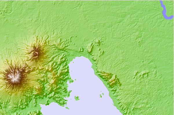
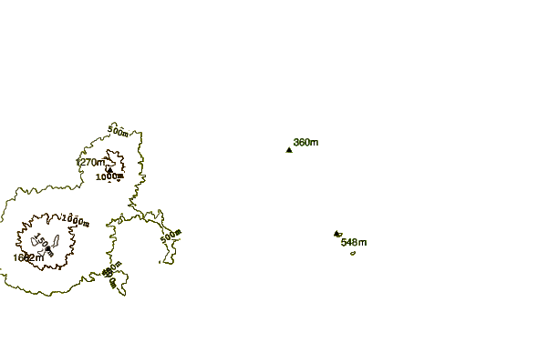
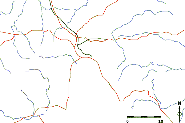
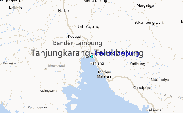
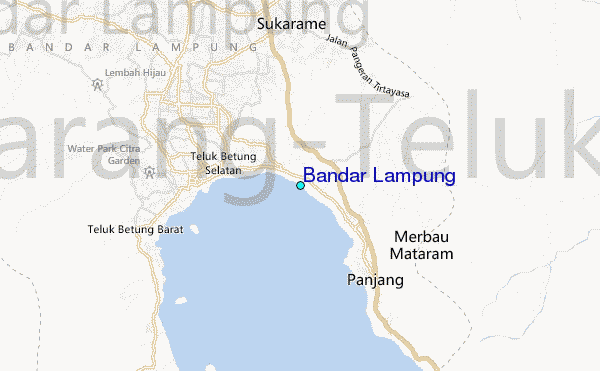
Use this relief map to navigate to tide stations, surf breaks and cities that are in the area of Bandar Lampung.
Other Nearby Locations' tide tables and tide charts to Bandar Lampung:
click location name for more details
 Surf breaks close to Bandar Lampung:
|
||
|---|---|---|
| Closest surf break | Balimbing | 61 mi |
| Second closest surf break | Benkunqut | 70 mi |
| Third closest surf break | Ujung Siging | 75 mi |
| Fourth closest surf break | Inside Panaitan Rights | 80 mi |
| Fifth closest surf break | Inside Panaitan Lefts | 80 mi |

 Nearest
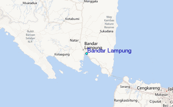