
| Distance / Altitude | Location | Report Date / Time | Live Weather | Wind | Gusts | Temp. | Visibility | Cloud |
|---|---|---|---|---|---|---|---|---|
| 167 km ESE / 176 m | Soekarno-Hatta International Airport (Indonesia) | 2024-04-29 05:30 local (2024/04/28 22:30 GMT) | Haze - | light winds from the N (7 km/h at 1) | 28°C | 3.5 | few mostly cloudy - | |
| 178 km SE / 52 m | Dukuh Satu wx (Indonesia) | 2024-04-29 06:12 local (2024/04/28 23:12 GMT) | - | - (- km/h at ) | 29°C | - | - - 0 | |
| 182 km ESE / 15 m | Pisangan Timur wx (Indonesia) | 2024-04-29 06:06 local (2024/04/28 23:06 GMT) | dry | calm (0 km/h at ) | 28°C | - | - - 0 | |
| 189 km ESE / 29 m | Kebonbesar wx (Indonesia) | 2024-04-29 06:08 local (2024/04/28 23:08 GMT) | - | calm (0 km/h at 0) | 33°C | - | - - 0 | |
| 190 km ESE / 17 m | Galur wx (Indonesia) | 2024-04-29 04:20 local (2024/04/28 21:20 GMT) | - | calm (0 km/h at 0) | — | - | - - 0 |
| Contours: | Roads & Rivers: | Select a
tide station / surf break / city |
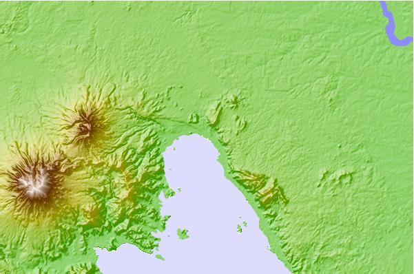
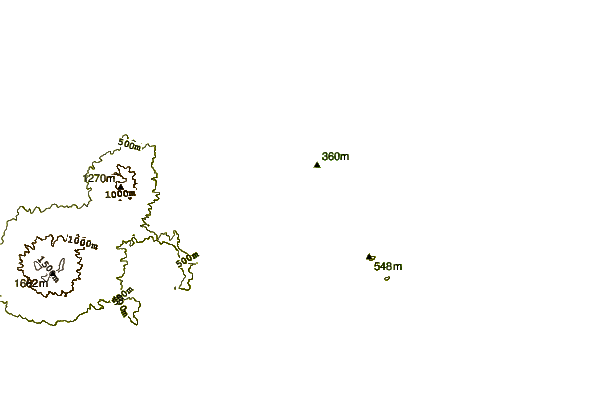
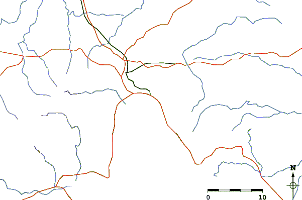
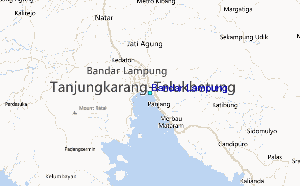
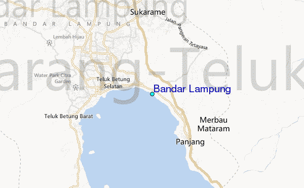
Use this relief map to navigate to tide stations, surf breaks and cities that are in the area of Bandar Lampung.
Other Nearby Locations' tide tables and tide charts to Bandar Lampung:
click location name for more details
 Surf breaks close to Bandar Lampung:
|
||
|---|---|---|
| Closest surf break | Balimbing | 61 mi |
| Second closest surf break | Benkunqut | 70 mi |
| Third closest surf break | Ujung Siging | 75 mi |
| Fourth closest surf break | Inside Panaitan Rights | 80 mi |
| Fifth closest surf break | Inside Panaitan Lefts | 80 mi |

 Nearest
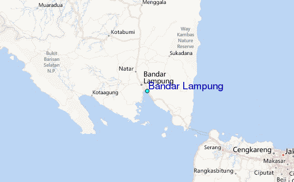