
| Distance / Altitude | Location | Report Date / Time | Live Weather | Wind | Gusts | Temp. | Visibility | Cloud |
|---|---|---|---|---|---|---|---|---|
| 66 km E / 794 m | San Salvador (El Salvador) | 2024-05-01 22:43 local (2024/05/02 04:43 GMT) | dry | calm (0 km/h at 222) | 24°C | - | - - 0 | |
| 86 km ESE / 209 m | EL Salvador International Airport (El Salvador) | 2024-05-01 21:00 local (2024/05/02 03:00 GMT) | Dry and partly cloudy | light winds from the NNW.(Wind varies from 290 to 360 degs) (6 km/h at 340) | 28°C | 9.0 | no significant cloud | |
| 129 km NW / 1725 m | El Palmar (Mexico) | 2024-05-01 22:19 local (2024/05/02 04:19 GMT) | dry | calm (0 km/h at 331) | 19°C | - | - - 0 | |
| 132 km WNW / 1470 m | Guatemala/La Aurora Airport (Guatemala) | 2024-05-01 21:00 local (2024/05/02 03:00 GMT) | - | light winds from the S (7 km/h at 180) | — | 0.0 | broken | |
| 132 km WNW / 1301 m | El Ceibillo wx (Guatemala) | 2024-05-01 22:32 local (2024/05/02 04:32 GMT) | dry | calm (0 km/h at 333) | 21°C | - | - - 0 |
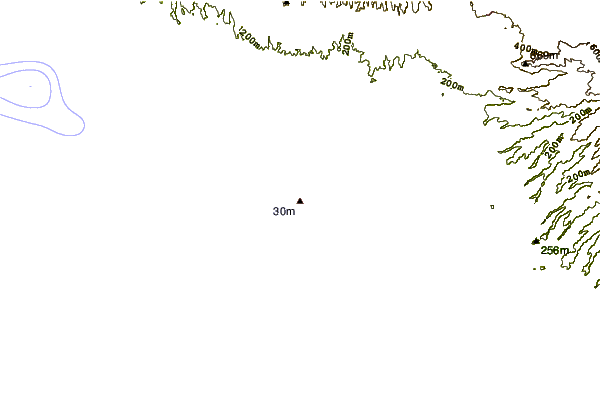
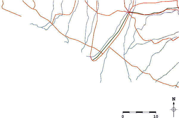
| Contours: | Roads & Rivers: | Select a
tide station / surf break / city |
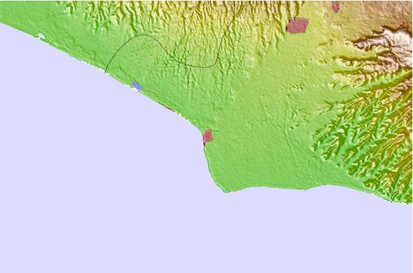
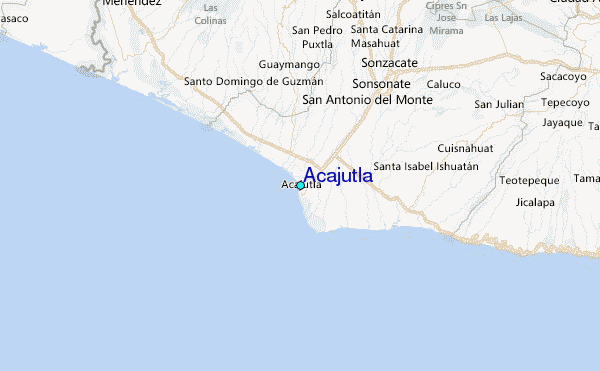
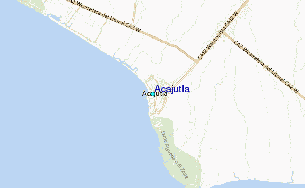
Use this relief map to navigate to tide stations, surf breaks and cities that are in the area of Acajutla.
Other Nearby Locations' tide tables and tide charts to Acajutla:
click location name for more details
 Surf breaks close to Acajutla:
|
||
|---|---|---|
| Closest surf break | Acajutla | 3 mi |
| Second closest surf break | Los Cobanos | 3 mi |
| Third closest surf break | Mizata | 10 mi |
| Fourth closest surf break | K59 and 61 | 21 mi |
| Fifth closest surf break | El Zonte | 27 mi |

 Nearest
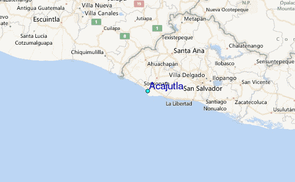