
| Distance / Altitude | Location | Report Date / Time | Live Weather | Wind | Gusts | Temp. | Visibility | Cloud |
|---|---|---|---|---|---|---|---|---|
| 100 km SSE / 15 m | ASCATB151E11S (Marine) | 2024-04-29 21:08 local (2024/04/29 11:08 GMT) | fresh winds from the ESE (32 km/h at 122) | — | - km | |||
| 103 km SSW / 15 m | ASCATB150E11S (Marine) | 2024-04-29 21:08 local (2024/04/29 11:08 GMT) | strong winds from the ESE (39 km/h at 122) | — | - km | |||
| 104 km SSW / 15 m | ASCATC150E11S (Marine) | 2024-04-29 22:00 local (2024/04/29 12:00 GMT) | fresh winds from the ESE (37 km/h at 122) | — | - km | |||
| 108 km SSE / 15 m | ASCATC151E11S (Marine) | 2024-04-29 22:00 local (2024/04/29 12:00 GMT) | fresh winds from the SE (33 km/h at 128) | — | - km | |||
| 115 km ENE / 15 m | SHIP3890 (Marine) | 2024-04-29 22:00 local (2024/04/29 12:00 GMT) | - (- km/h at -) | — | - km |
| Contours: | Roads & Rivers: | Select a
tide station / surf break / city |
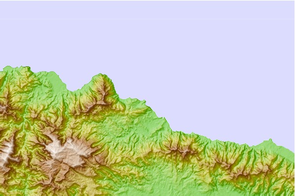
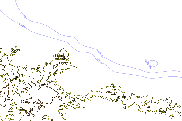
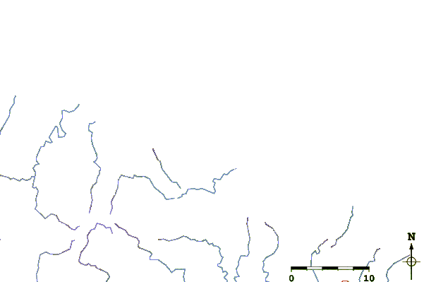
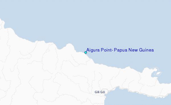
Use this relief map to navigate to tide stations, surf breaks and cities that are in the area of Aigura Point, Papua New Guinea.
Other Nearby Locations' tide tables and tide charts to Aigura Point, Papua New Guinea:
click location name for more details
 Surf breaks close to Aigura Point, Papua New Guinea:
|
||
|---|---|---|
| Closest surf break | Raiven | 422 mi |
| Second closest surf break | Duke of York | 435 mi |
| Third closest surf break | Pailongge | 468 mi |
| Fourth closest surf break | Titiana | 470 mi |
| Fifth closest surf break | Makuti | 477 mi |

 Nearest