
| Distance / Altitude | Location | Report Date / Time | Live Weather | Wind | Gusts | Temp. | Visibility | Cloud |
|---|---|---|---|---|---|---|---|---|
| 9 km ESE / 3 m | AilinglapalapAtoll-Marshall Is. (Marshall Islands) | 2024-05-02 18:00 local (2024/05/02 06:00 GMT) | - | light winds from the NE (15 km/h at 40) | 28°C | 44 km | mostly cloudy | |
| 181 km SSE / 3 m | JaluitAtoll-Marshall Is. (Marshall Islands) | 2024-05-02 18:00 local (2024/05/02 06:00 GMT) | - | light winds from the E (9 km/h at 80) | 27°C | 44 km | mostly cloudy | |
| 196 km WNW / 215 m | Kwajalein/buchol Airport (Marshall Islands) | 2024-05-02 18:40 local (2024/05/02 06:40 GMT) | Dry and partly cloudy | moderate winds from the NNE (20 km/h at 30) | 28°C | 16 | scattered broken overcast | |
| 196 km WNW / 3 m | BUOY-KWJP8 (Marine) | 2024-05-02 18:48 local (2024/05/02 06:48 GMT) | - (- km/h at -) | — | - | |||
| 272 km E / 208 m | Majuro Atoll Airport (Marshall Islands) | 2024-05-02 17:54 local (2024/05/02 05:54 GMT) | Dry and partly cloudy | light winds from the ENE (13 km/h at 60) | 29°C | 24 | few scattered broken |
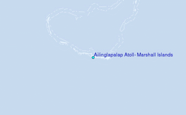
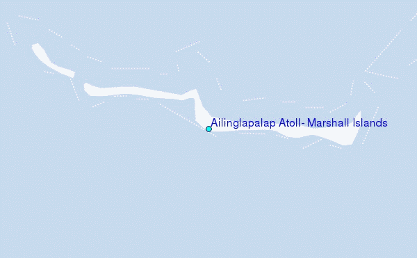
Choose Ailinglapalap Atoll, Marshall Islands Location Map Zoom:
| Contours: | Roads & Rivers: | Select a
tide station / surf break / city |
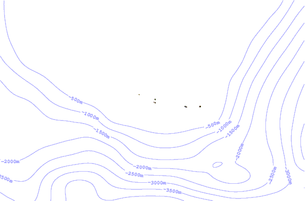
Use this relief map to navigate to tide stations, surf breaks and cities that are in the area of Ailinglapalap Atoll, Marshall Islands.
Other Nearby Locations' tide tables and tide charts to Ailinglapalap Atoll, Marshall Islands:
click location name for more details
 Surf breaks close to Ailinglapalap Atoll, Marshall Islands:
|
||
|---|---|---|
| Closest surf break | Sidedish | 421 mi |
| Second closest surf break | Walung | 423 mi |
| Third closest surf break | Naa | 486 mi |
| Fourth closest surf break | Lavata | 1341 mi |
| Fifth closest surf break | Makuti | 1341 mi |

 Nearest
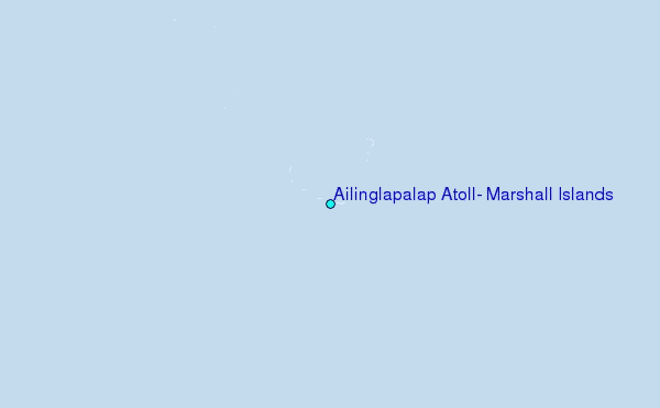