
| Distance / Altitude | Location | Report Date / Time | Live Weather | Wind | Gusts | Temp. | Visibility | Cloud |
|---|---|---|---|---|---|---|---|---|
| 297 km SW / 3 m | BUOY-KWJP8 (Marine) | 2024-04-28 15:48 local (2024/04/28 03:48 GMT) | - (- km/h at -) | — | - | |||
| 373 km SSE / 208 m | Majuro Atoll Airport (Marshall Islands) | 2024-04-28 14:53 local (2024/04/28 02:53 GMT) | Shower light rain shower | light winds from the E (17 km/h at 90) | 27°C | 18 | scattered broken overcast | |
| 381 km SSE / 3 m | Kalo- Majuro- Marshall Islands (Marine) | 2024-04-28 15:30 local (2024/04/28 03:30 GMT) | - (- km/h at -) | — | - | |||
| 945 km SSW / 178 m | Kosrae Island Airport (Micronesia) | 2024-04-28 14:50 local (2024/04/28 02:50 GMT) | Dry and partly cloudy | light winds from the E (19 km/h at 90) | 30°C | 16 | broken broken broken | |
| 1038 km SSE / 2 m | Tarawa Kiribati Airport (Fiji/tonga/tuvalu) | 2024-04-28 15:00 local (2024/04/28 03:00 GMT) | Dry and partly cloudy | light winds from the E (15 km/h at 80) | 31°C | 10.0 | few scattered broken |
| Contours: | Roads & Rivers: | Select a
tide station / surf break / city |
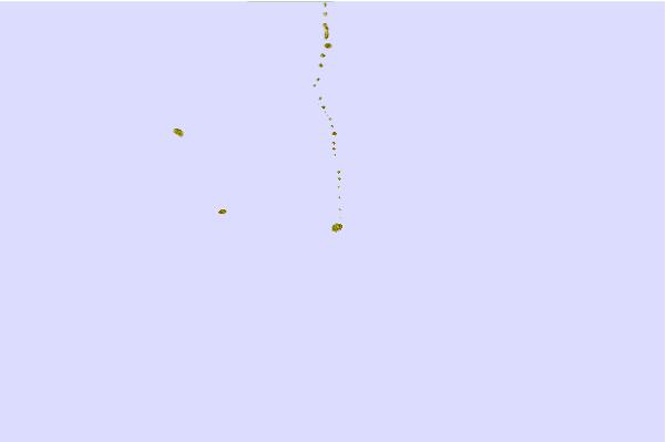
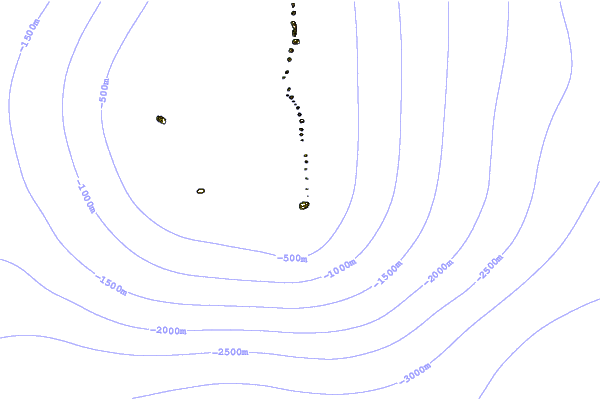
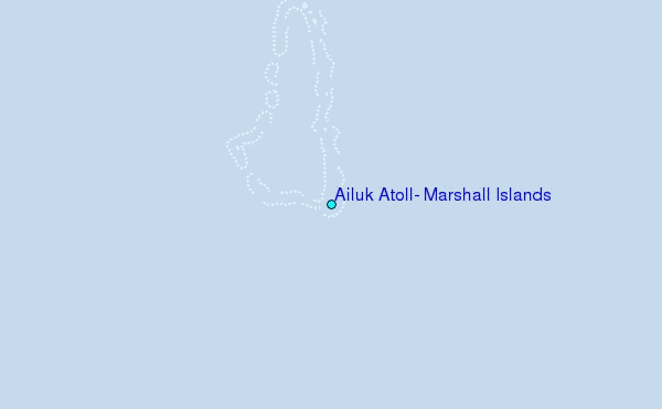
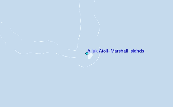
Use this relief map to navigate to tide stations, surf breaks and cities that are in the area of Ailuk Atoll, Marshall Islands.
Other Nearby Locations' tide tables and tide charts to Ailuk Atoll, Marshall Islands:
click location name for more details
 Surf breaks close to Ailuk Atoll, Marshall Islands:
|
||
|---|---|---|
| Closest surf break | Sidedish | 589 mi |
| Second closest surf break | Walung | 590 mi |
| Third closest surf break | Naa | 627 mi |
| Fourth closest surf break | Simberi Island | 1523 mi |
| Fifth closest surf break | Rubio | 1546 mi |

 Nearest